Images of Concord Point Lighthouse at Sunrise in the Winter
Havre de Grace, Chesapeake Bay, Maryland
We had taken and posted it images of the Concord Point Lighthouse in January 2015, at night and when the lighthouse was decorated in festive colors. On a recent trip to the region, we had the opportunity to revisit the lighthouse and take picture during sunrise during a chilly (but very clear and colorful) sunrise.
The Concord Point Lighthouse is located on a strategic location on both historic significance as during the War of Independence there have been military operations, and also on commercial and navigational significance, as the light is located a the mouth of the Susquehanna River flows at the Chesapeake Bay (the northernmost lighthouse on the Chesapeake Bay). Concord Point Lighthouse.
More extensive background on the Concord Point Lighthouse, its structure, history and significance can be found on our previous blog posting, and also at the website of the Friends of the Concord Point Lighthouse Organization.
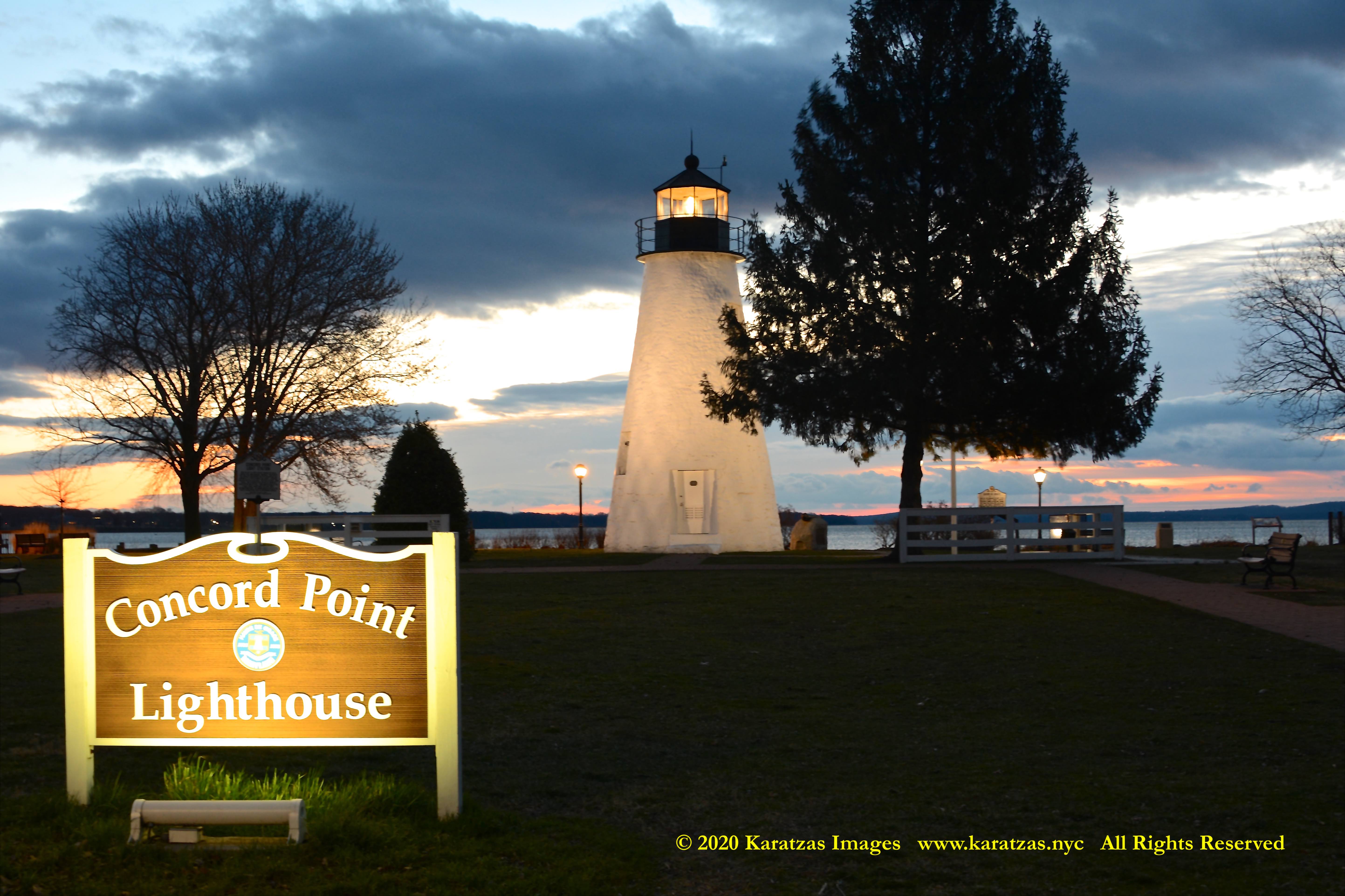
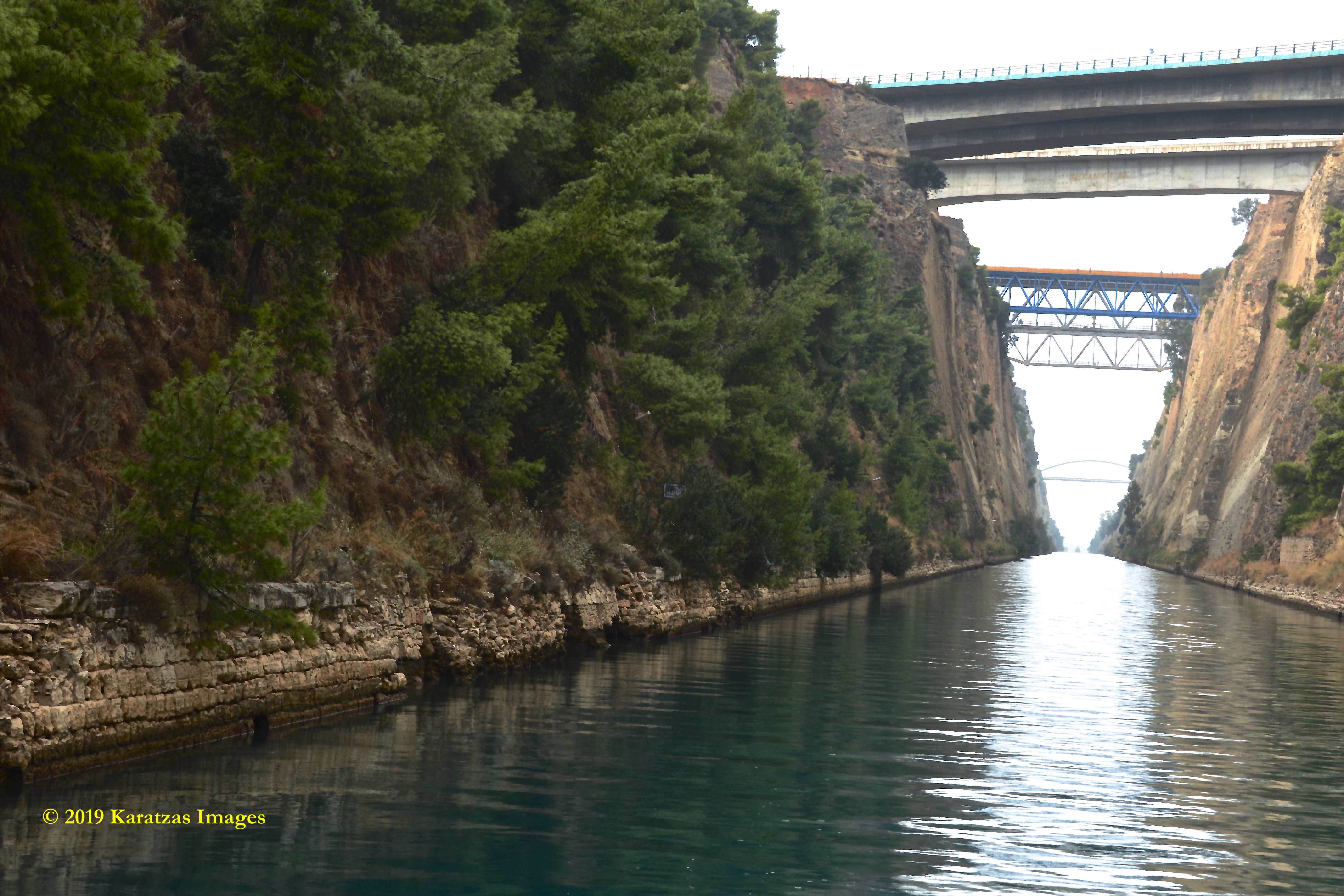
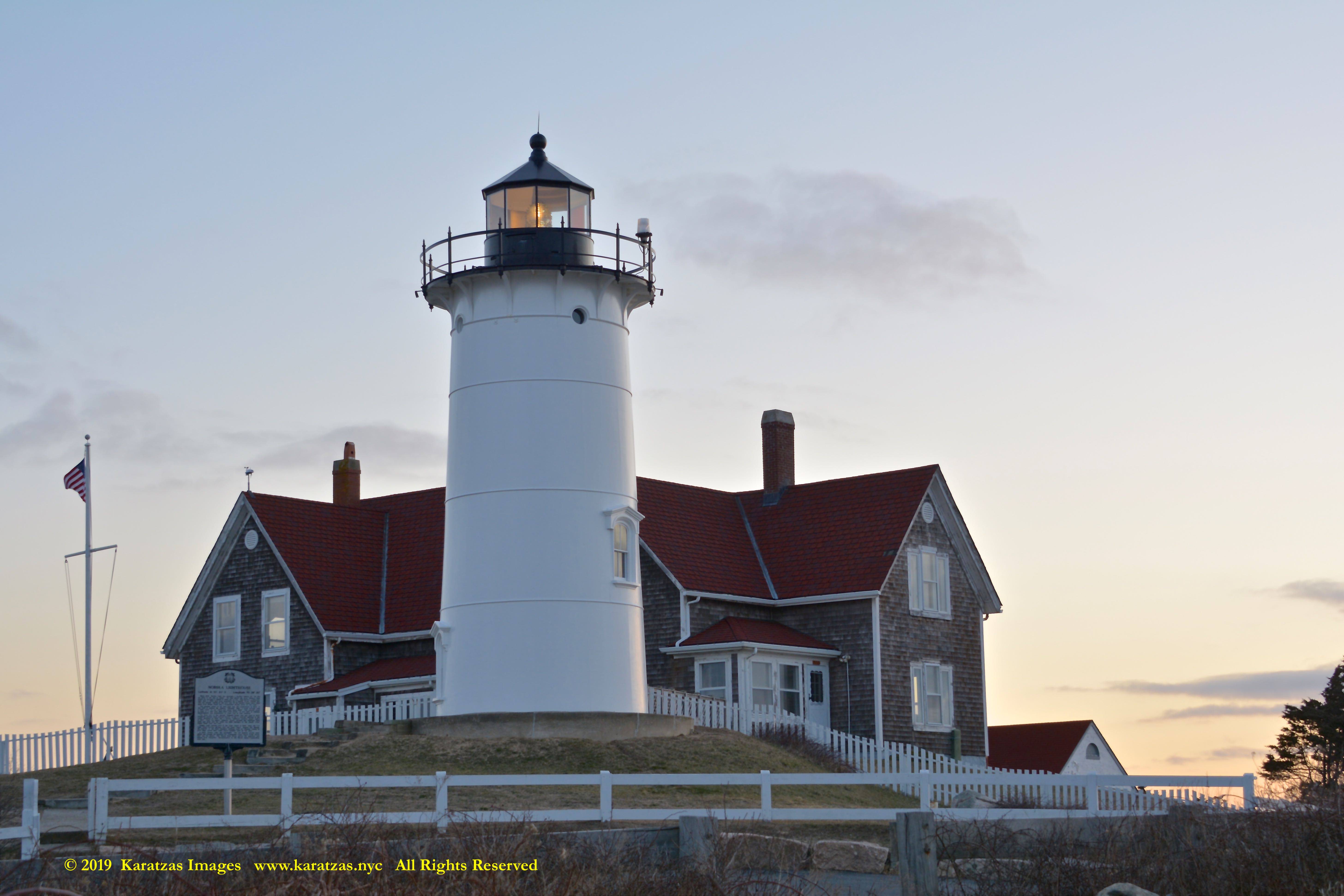
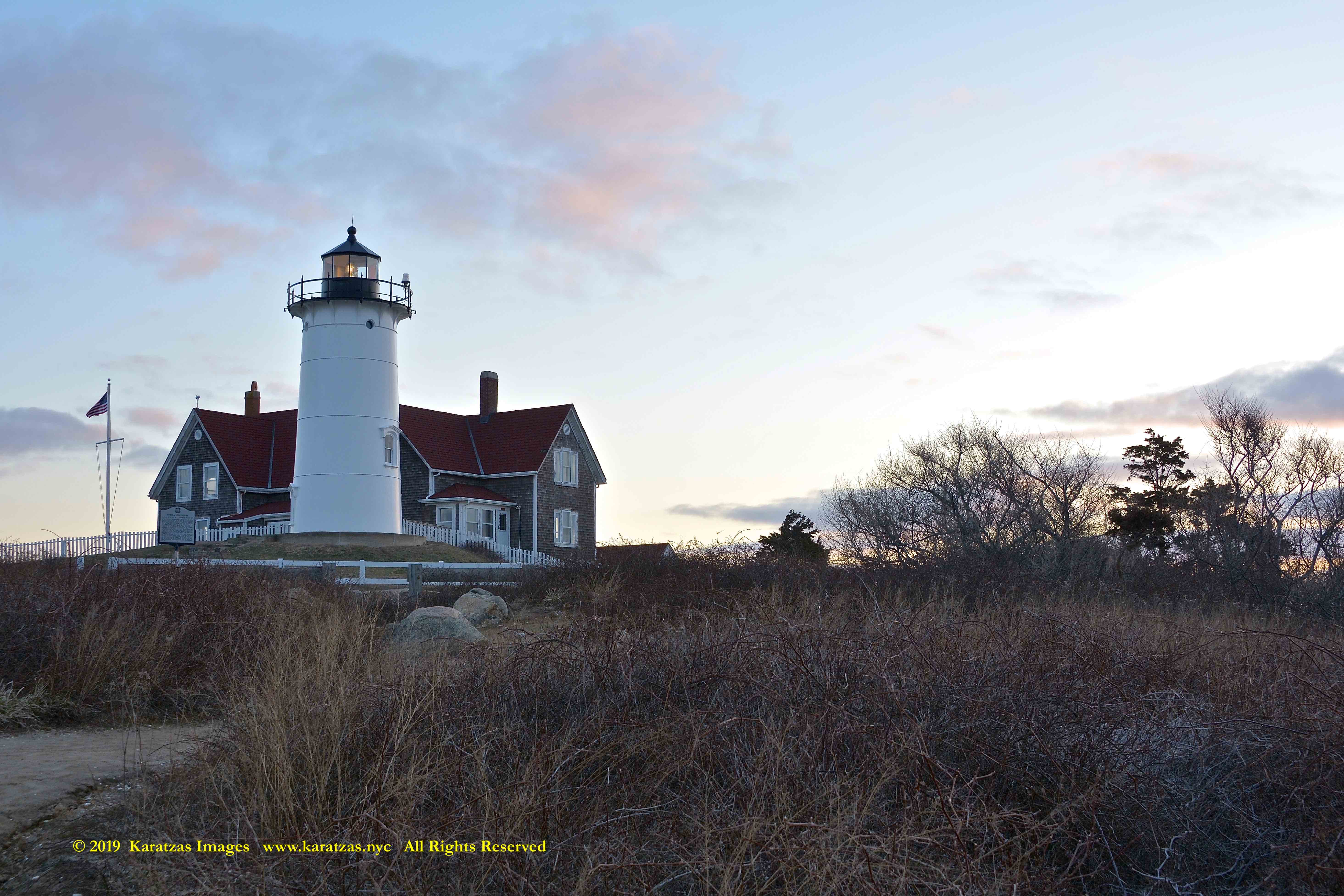
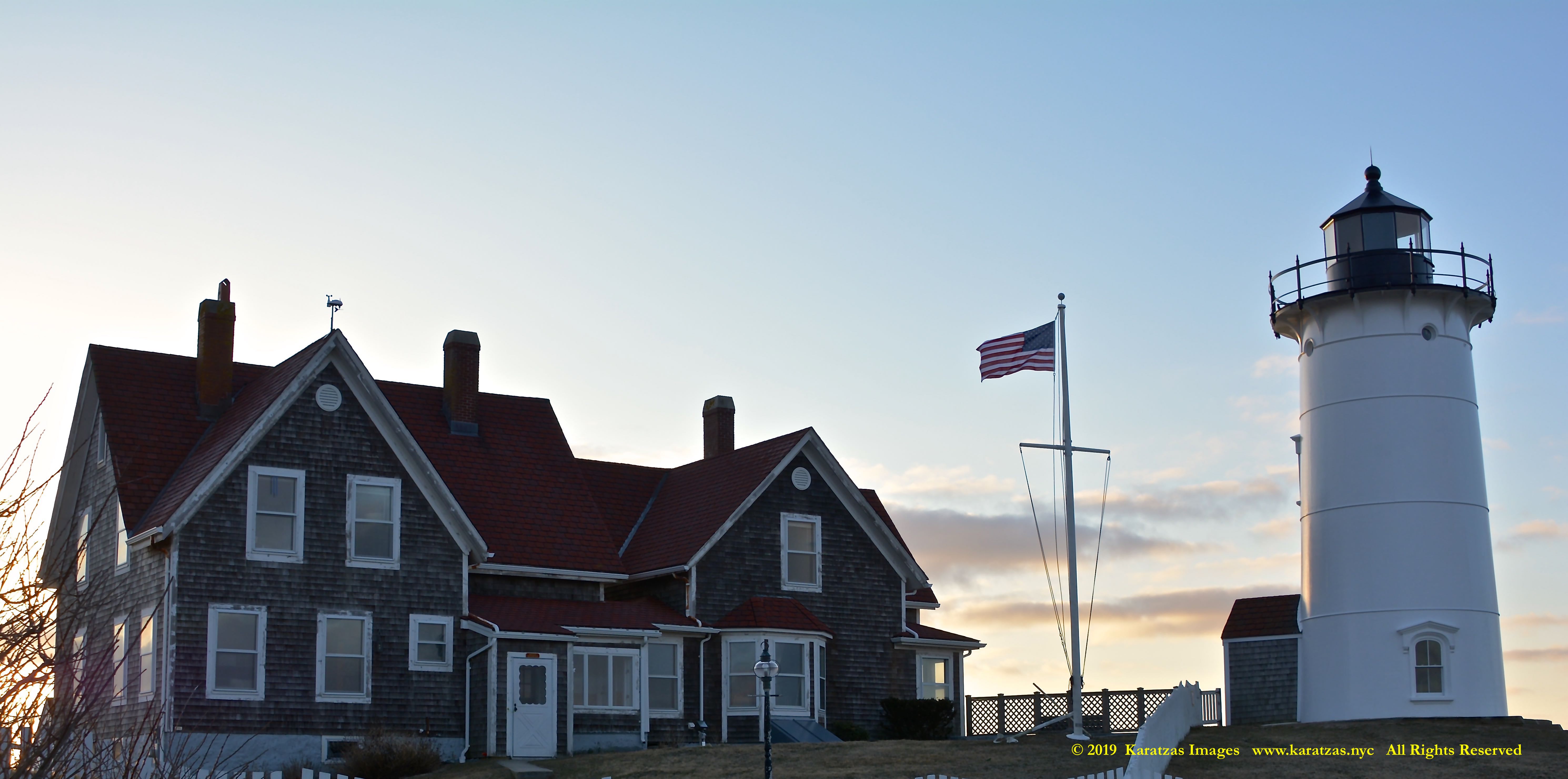
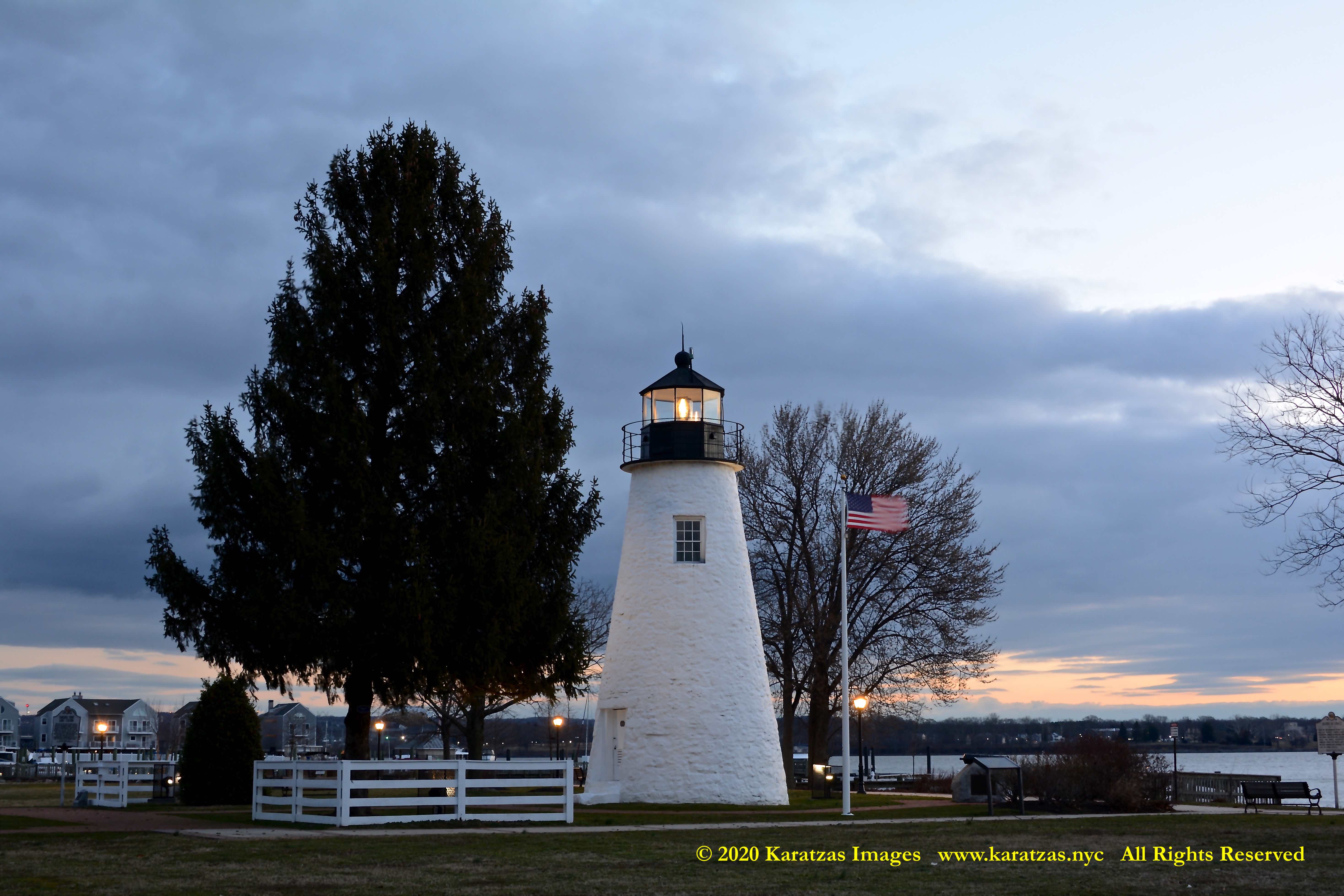
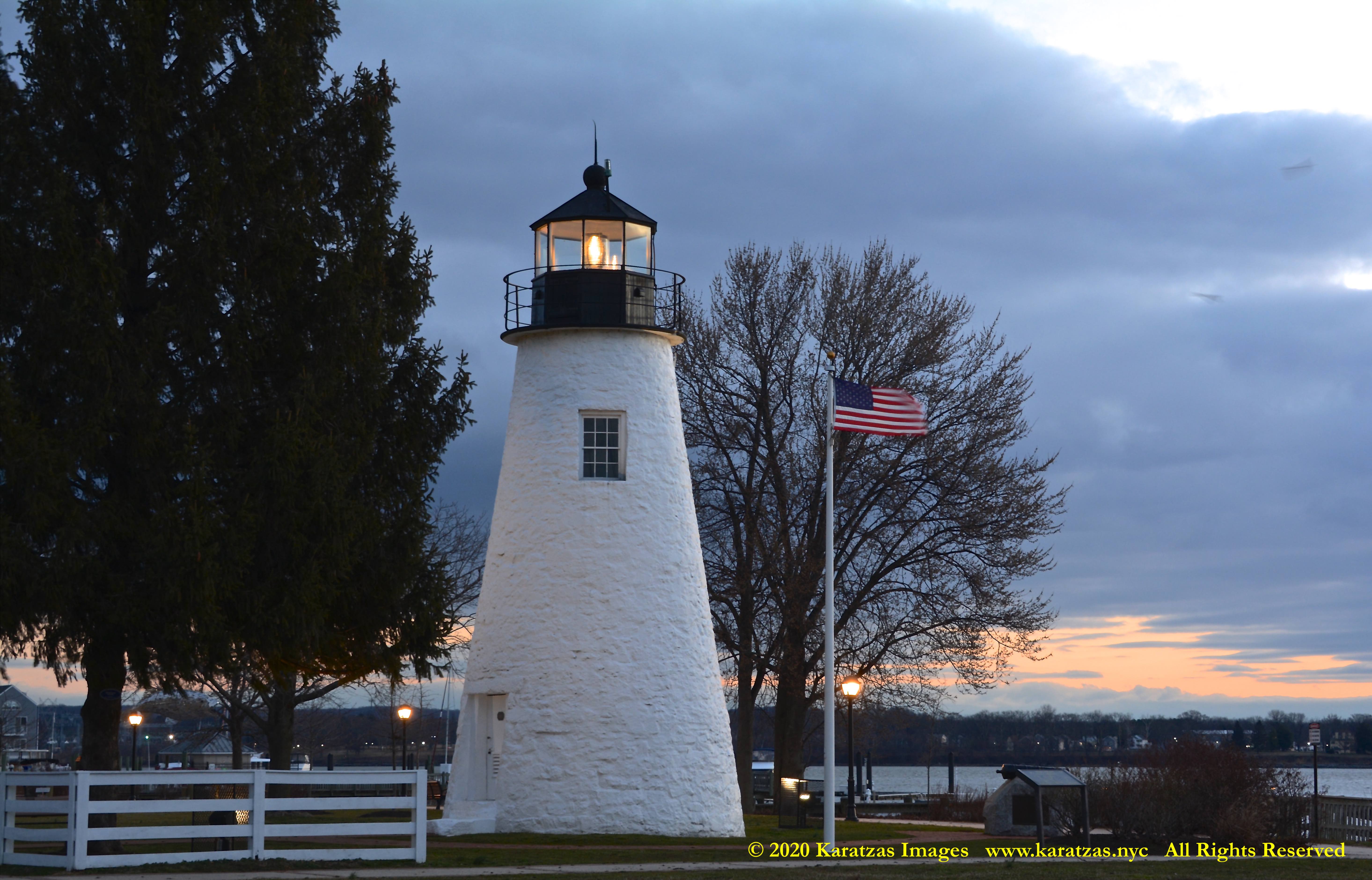
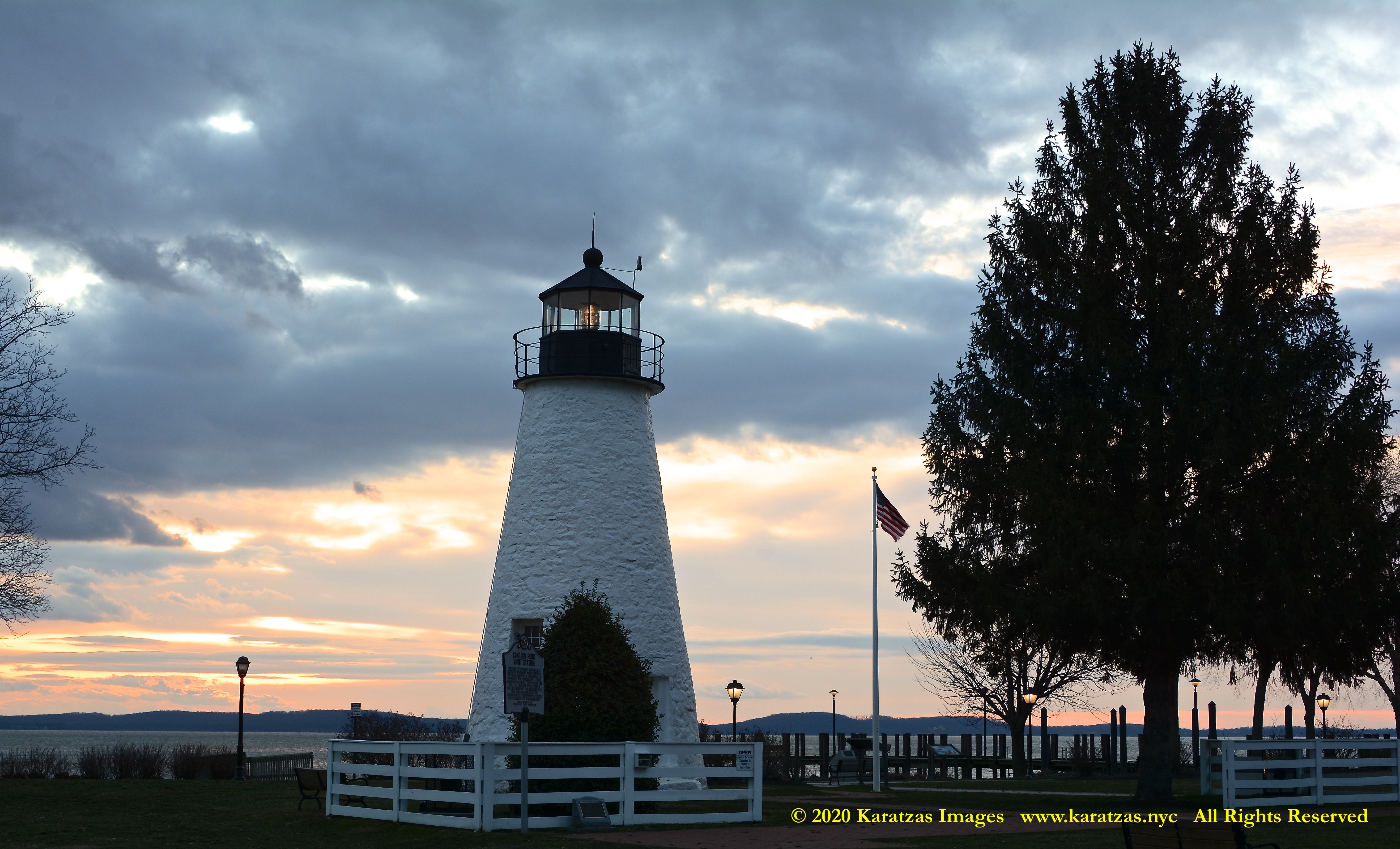
Originally built in 1827, located at the mouth of Susquehanna River flows into the Chesapeake Bay, images of Concord Point Lighthouse at sunrise. Image credit: Karatzas Images
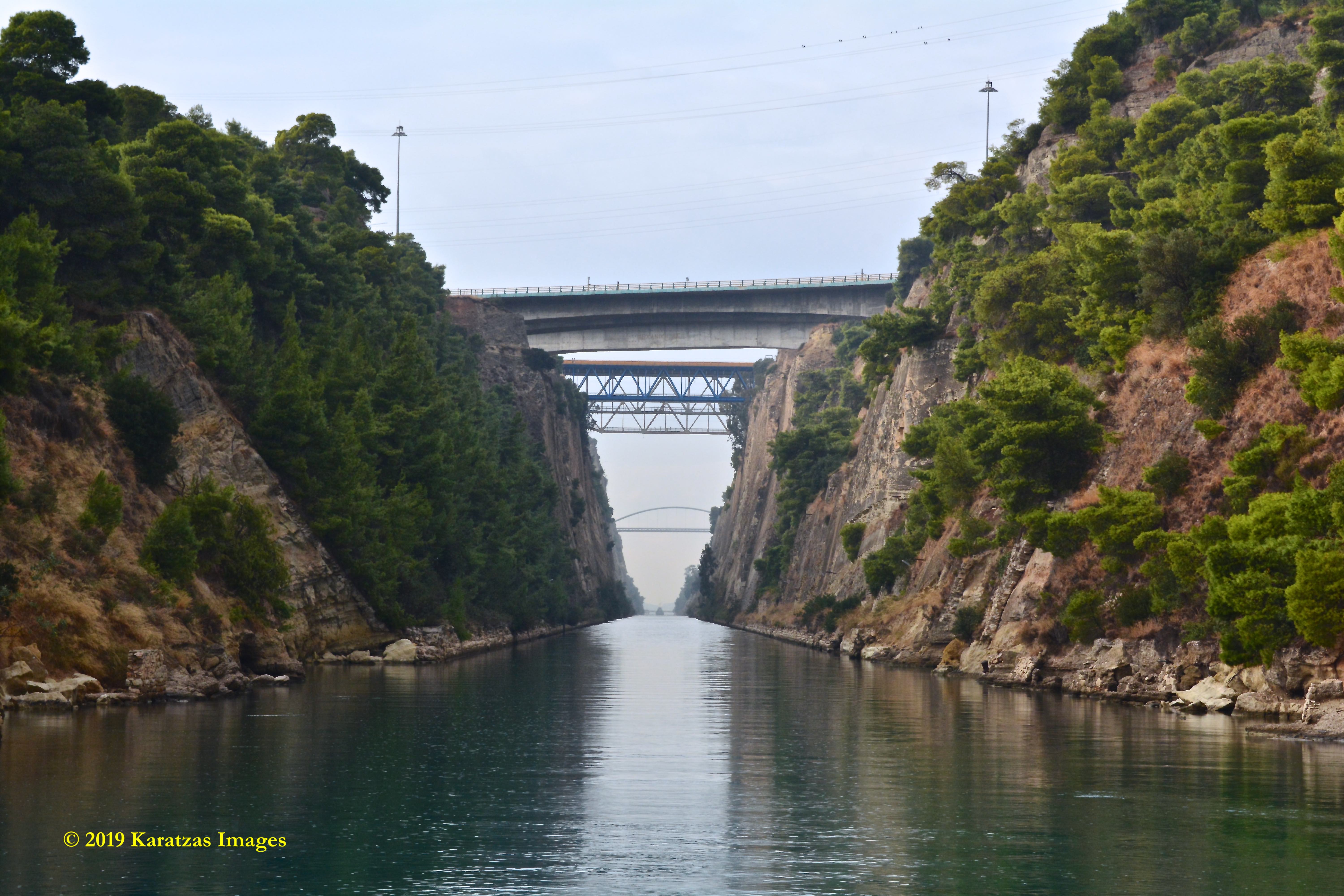
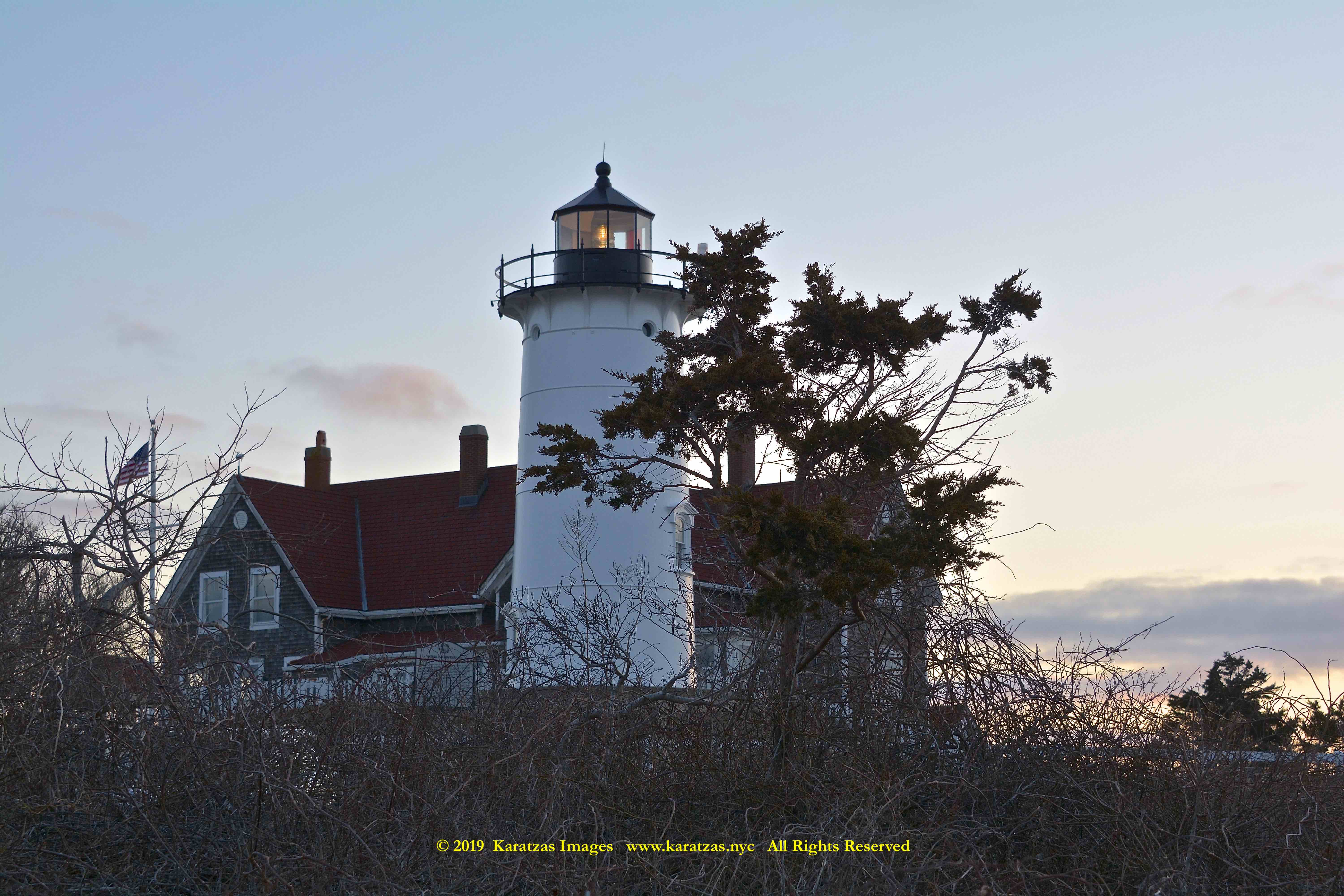
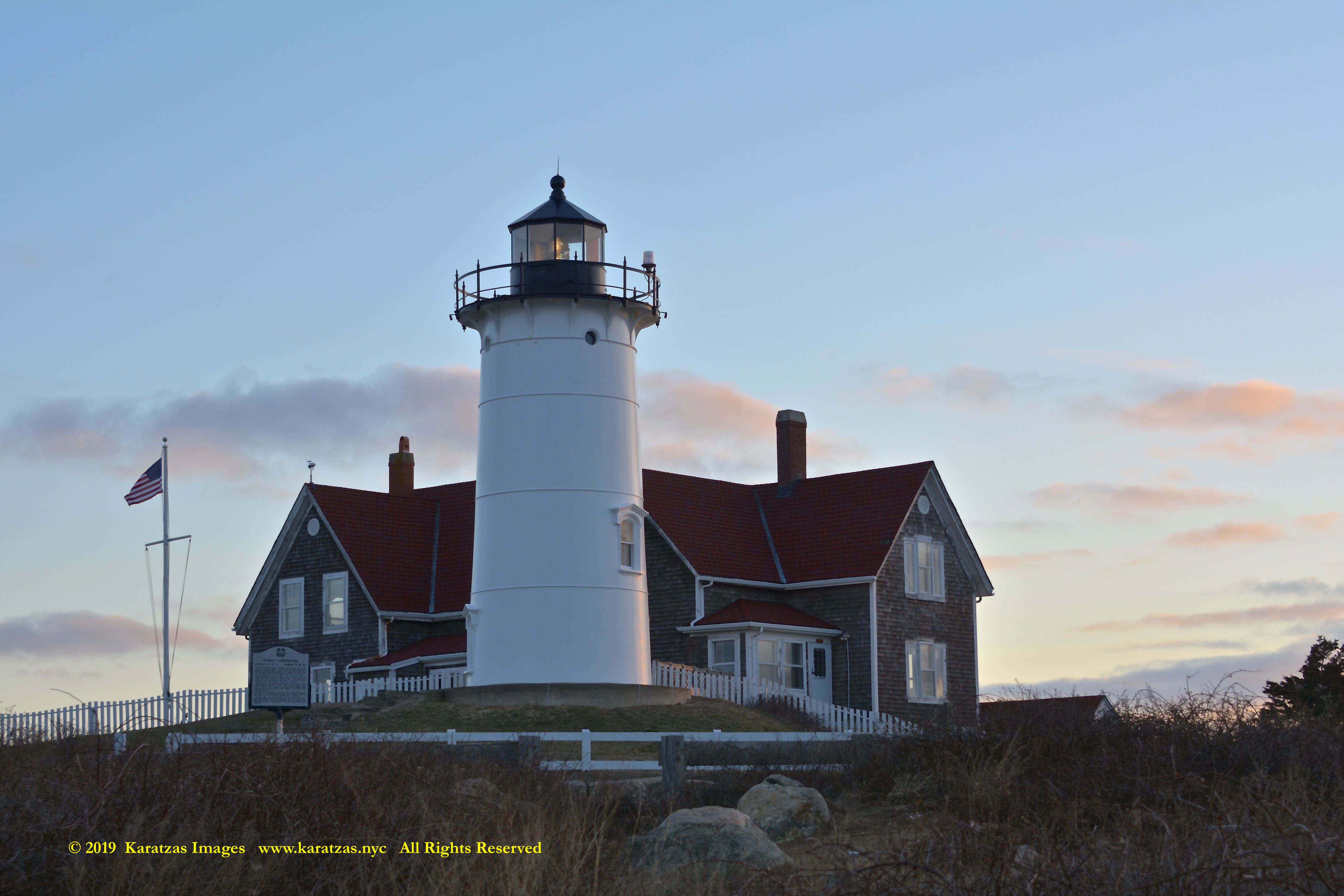
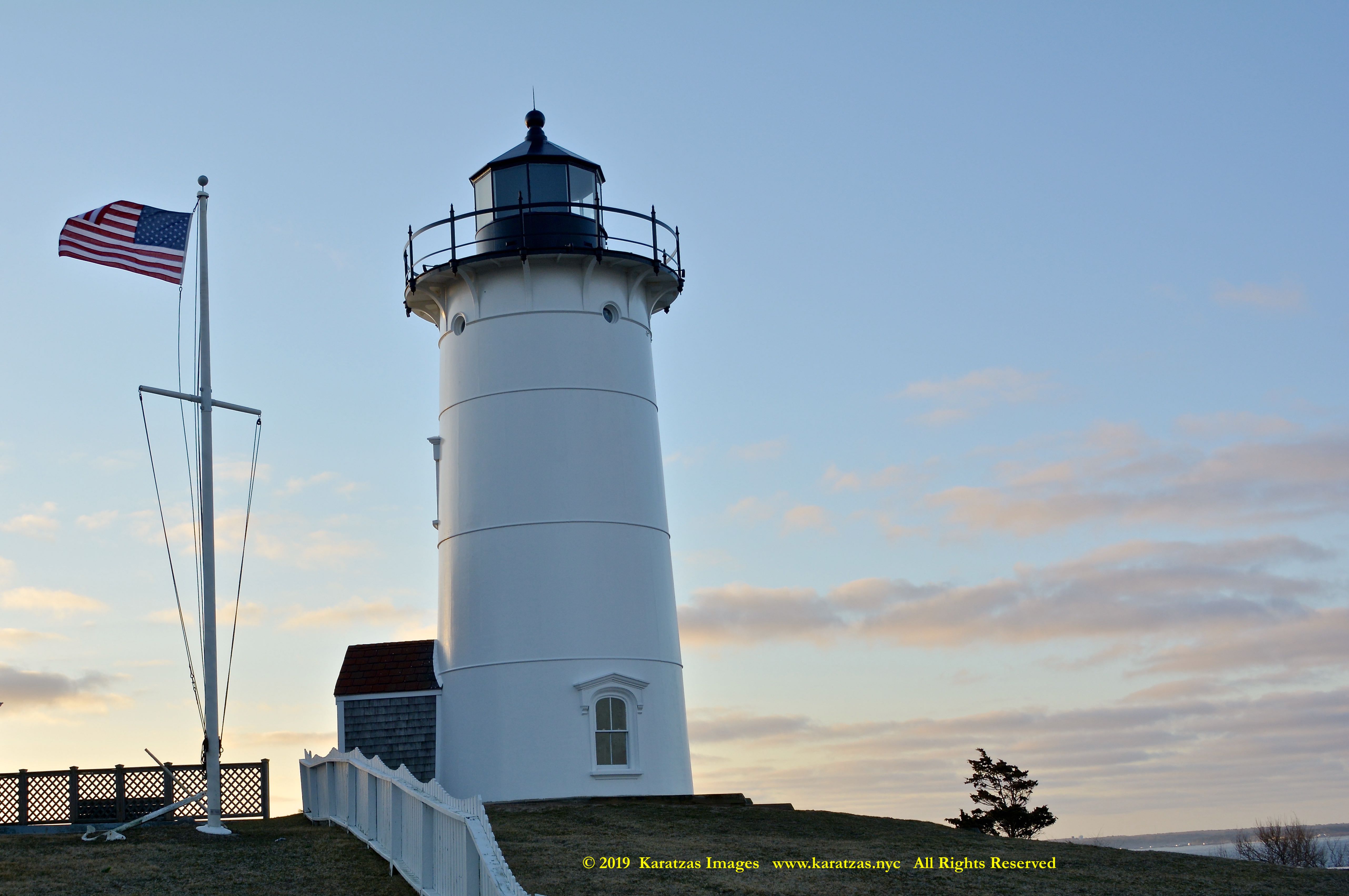
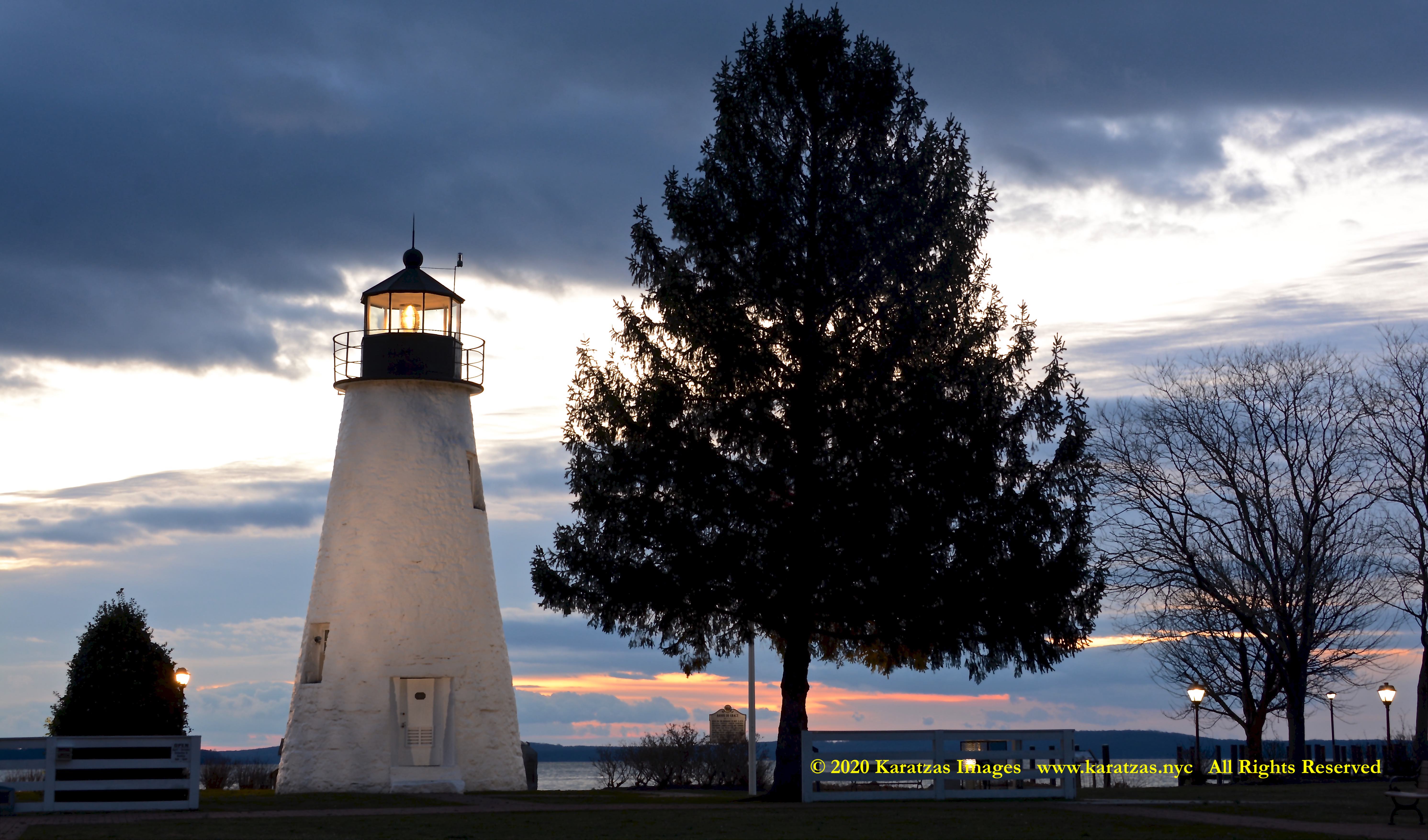
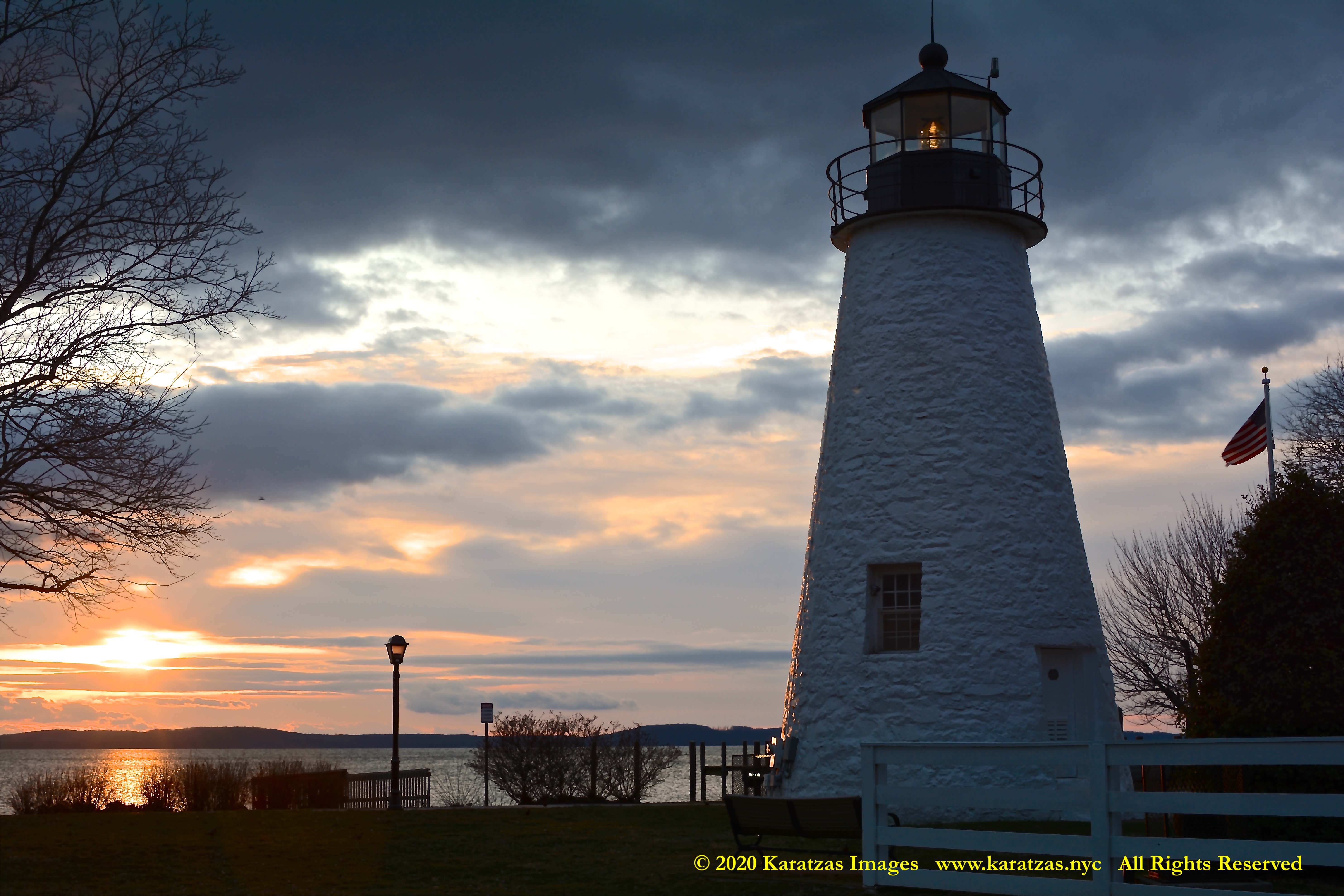
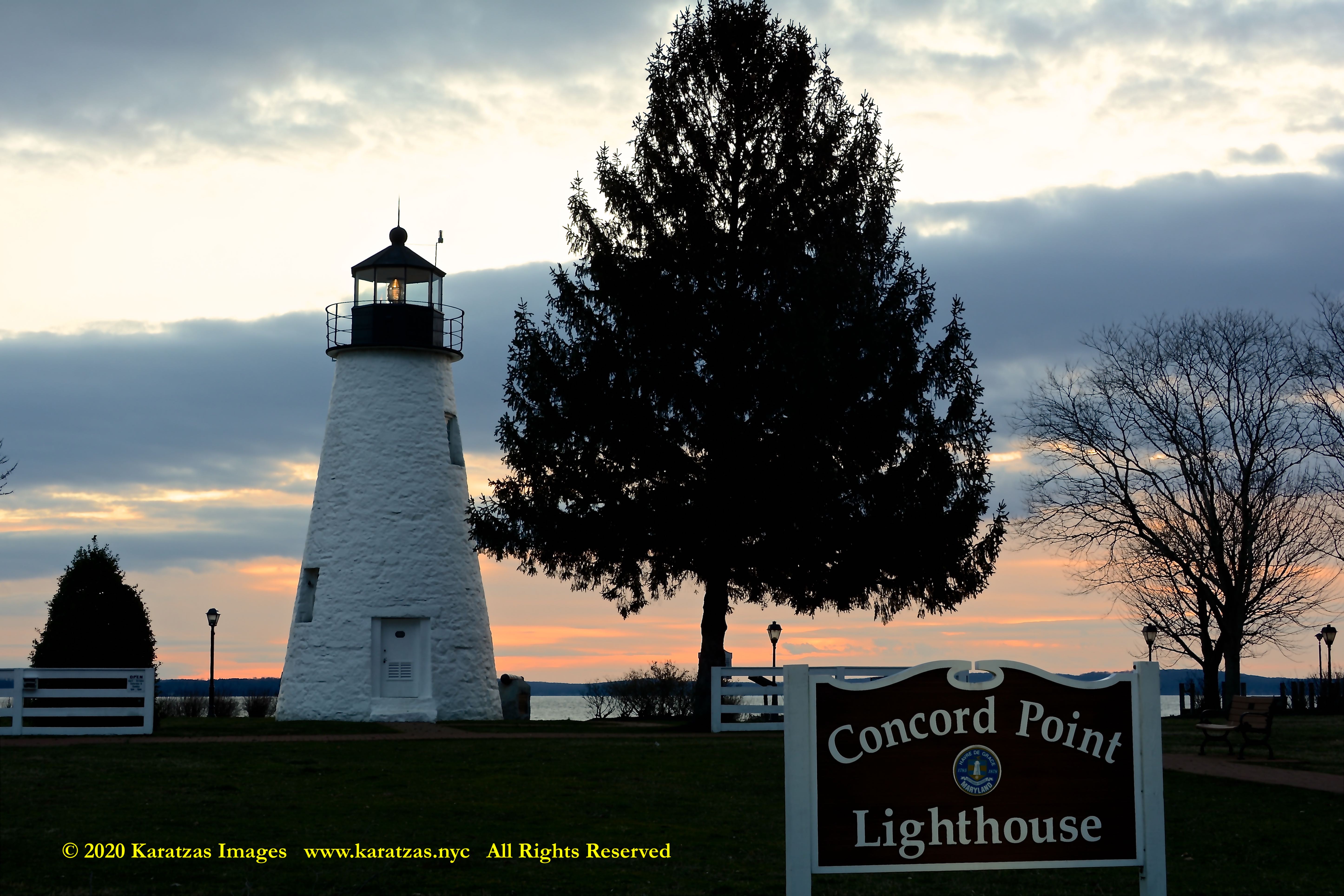
Originally built in 1827, located at the mouth of Susquehanna River flows into the Chesapeake Bay, images of Concord Point Lighthouse at sunrise. Image credit: Karatzas Images
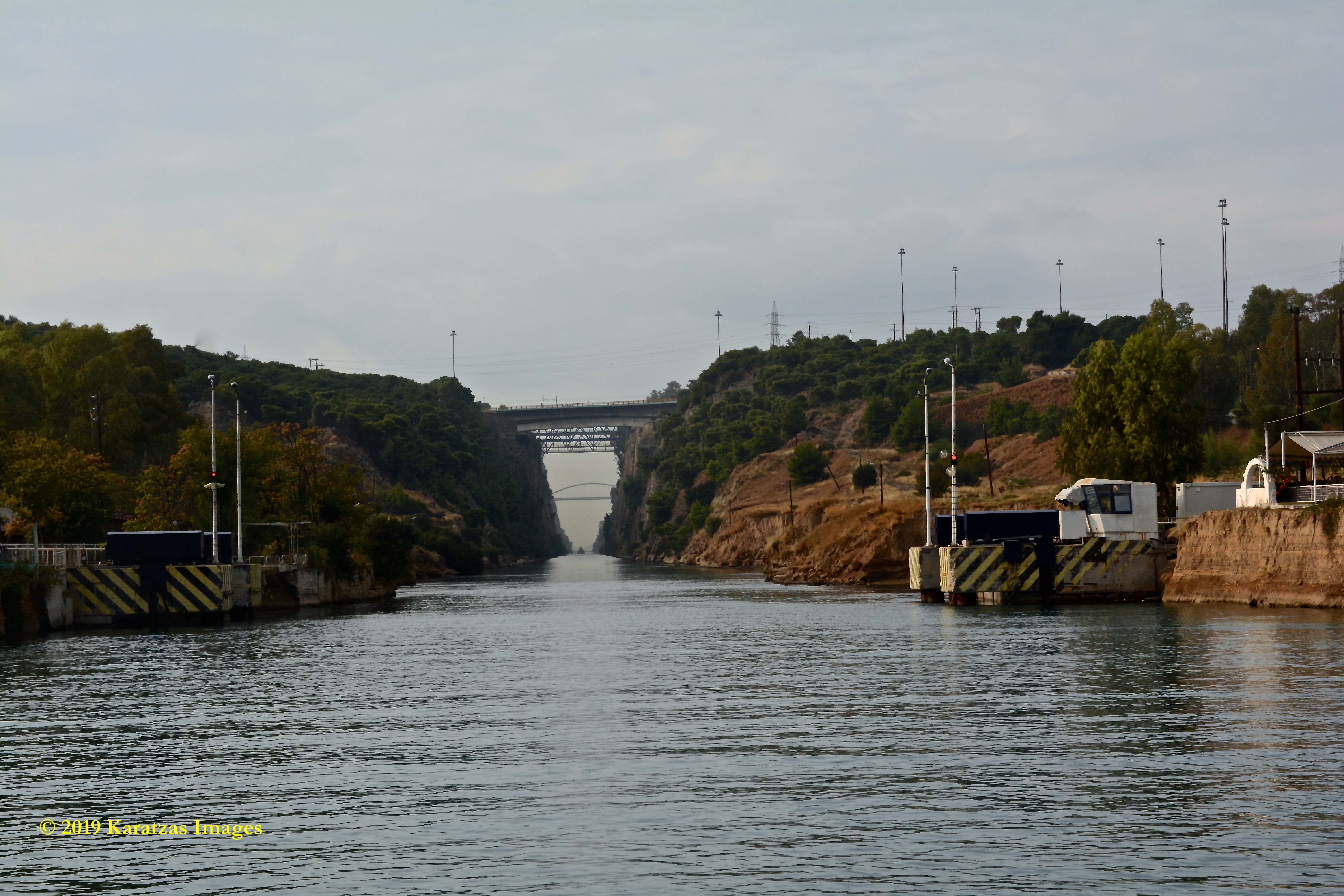
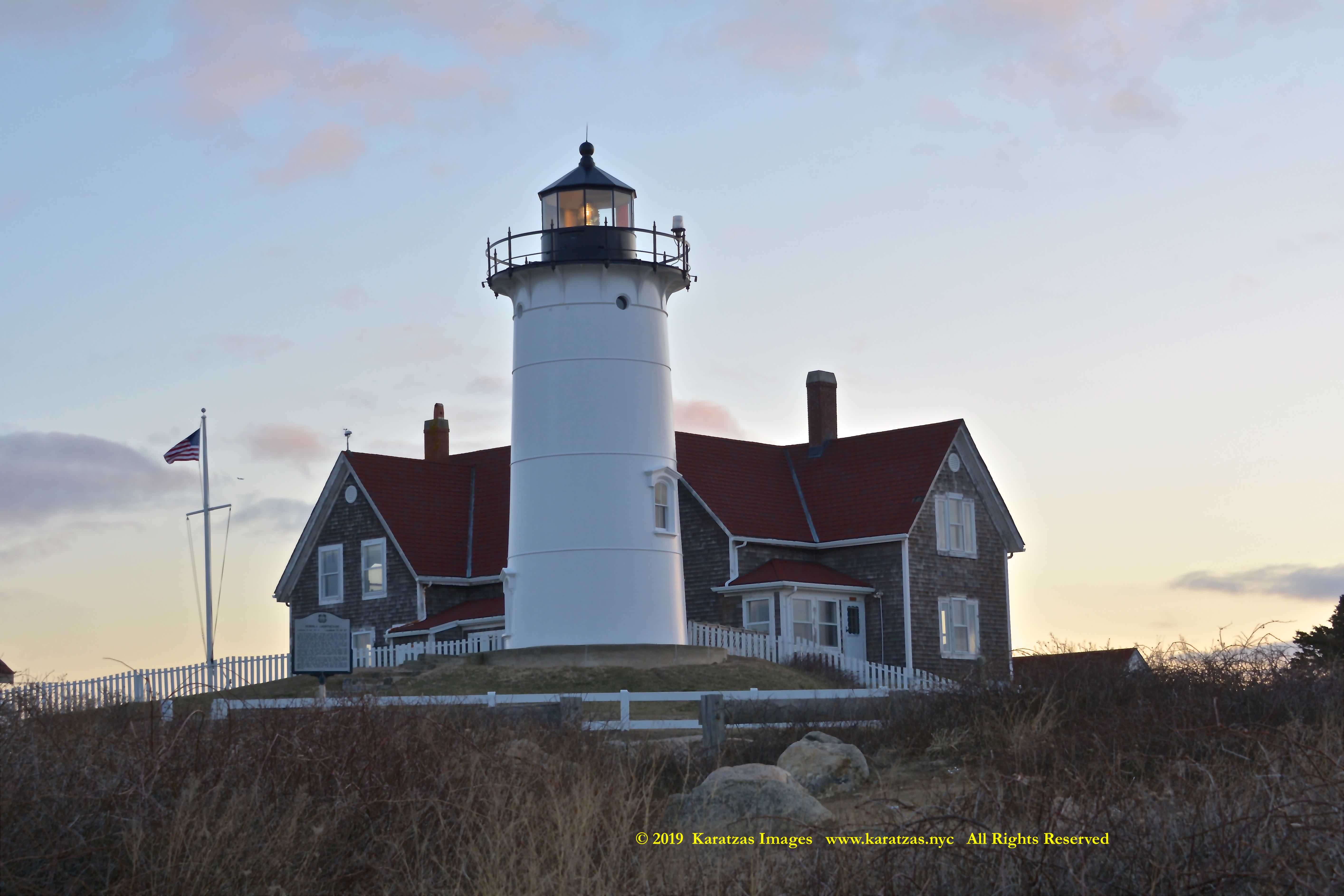
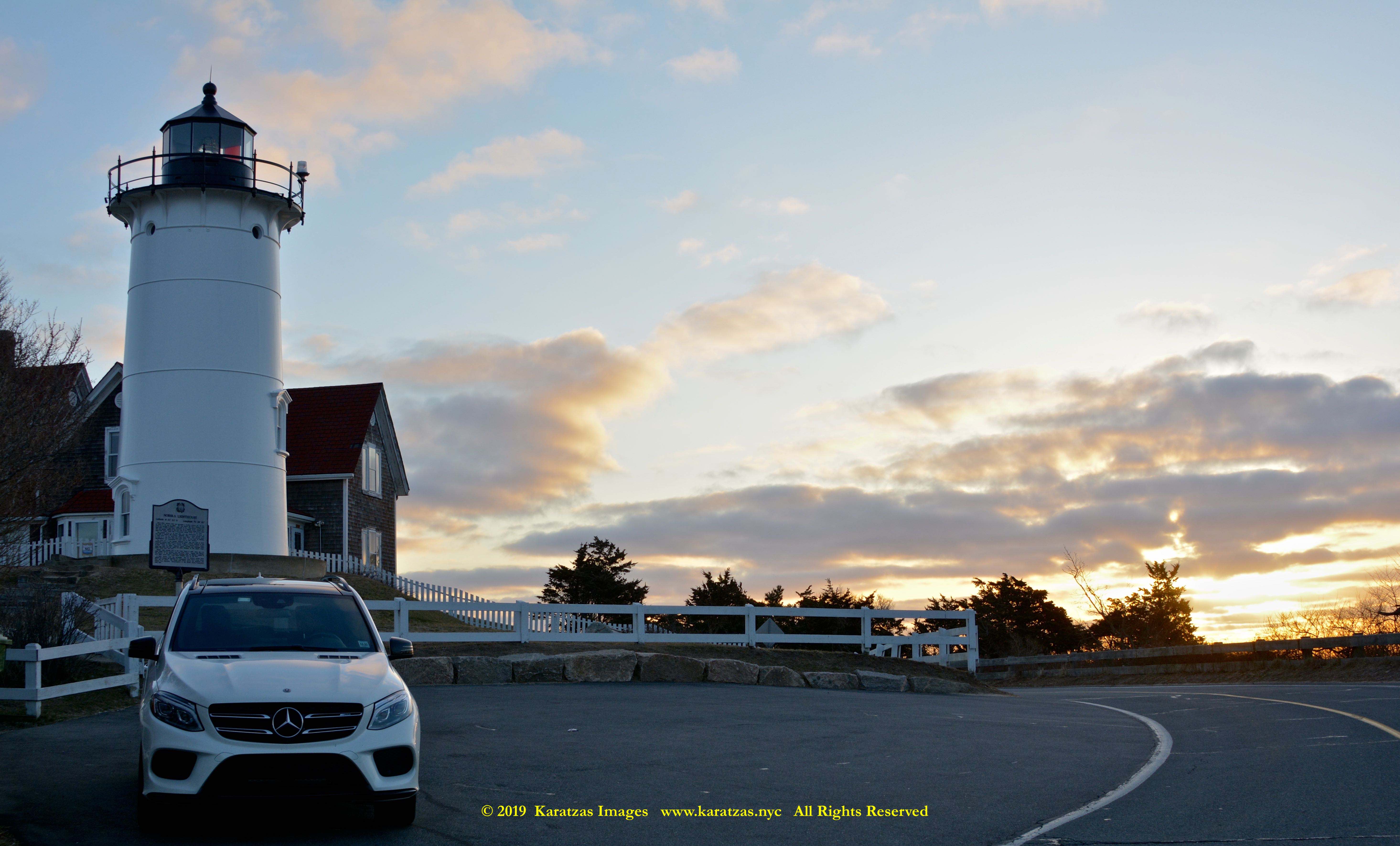
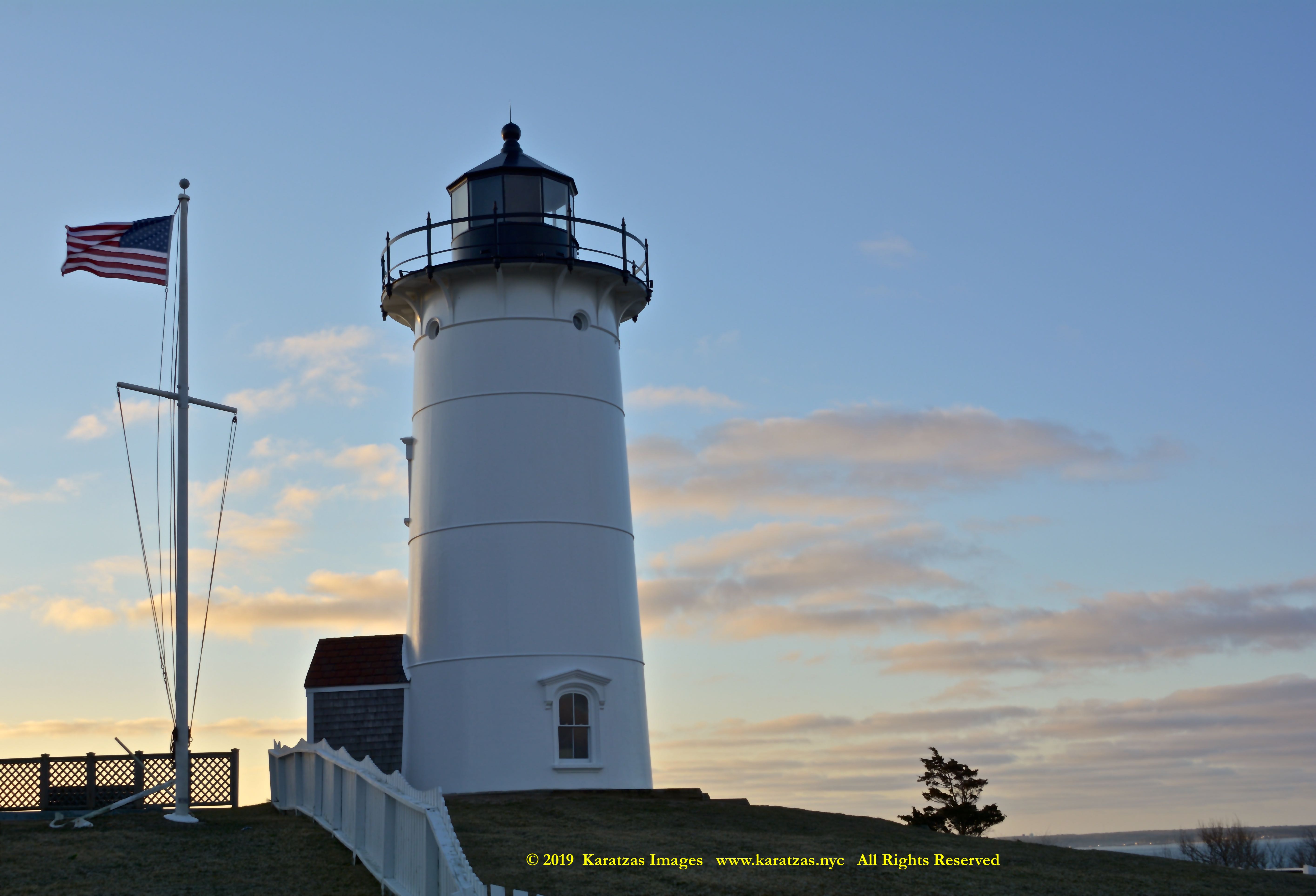
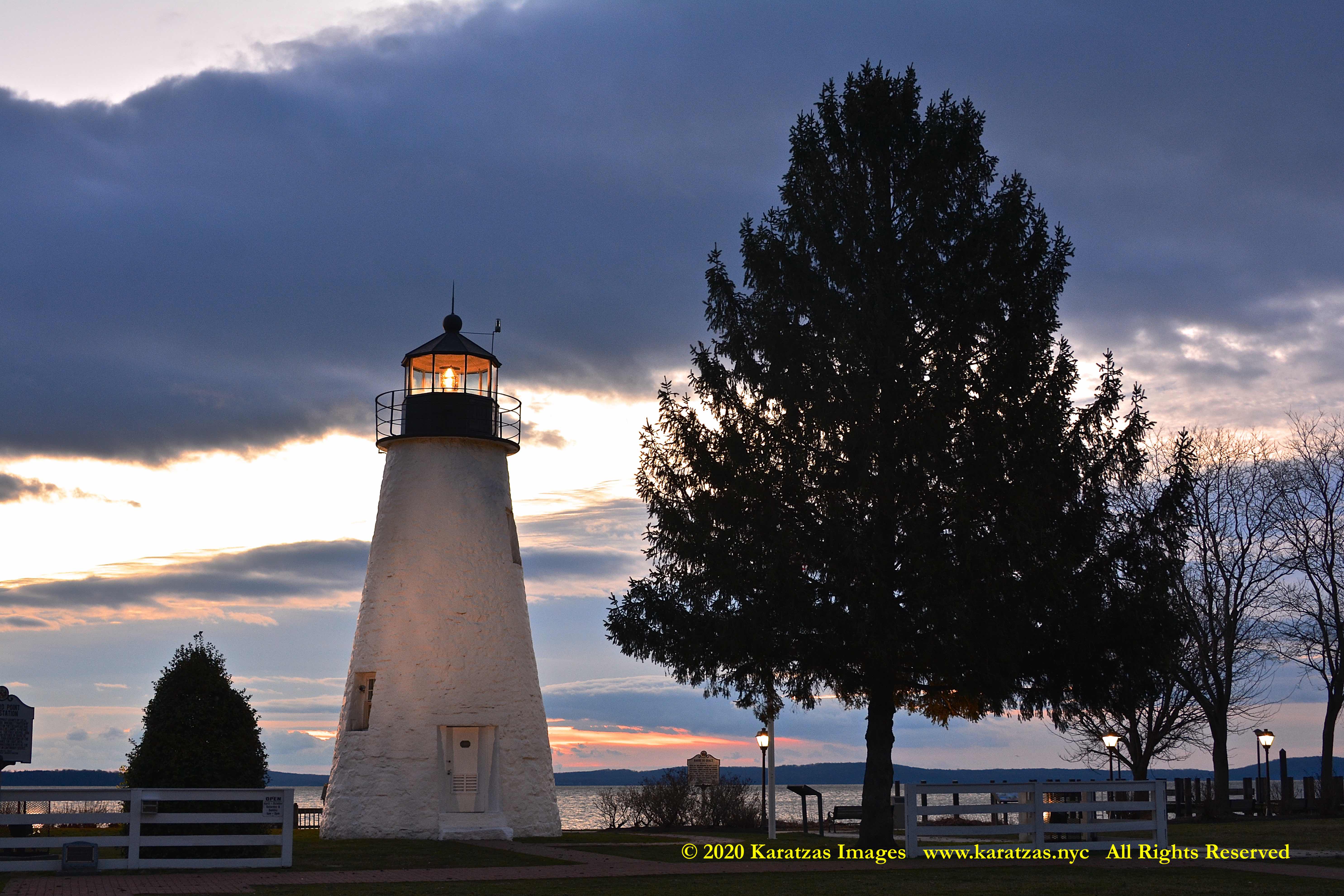
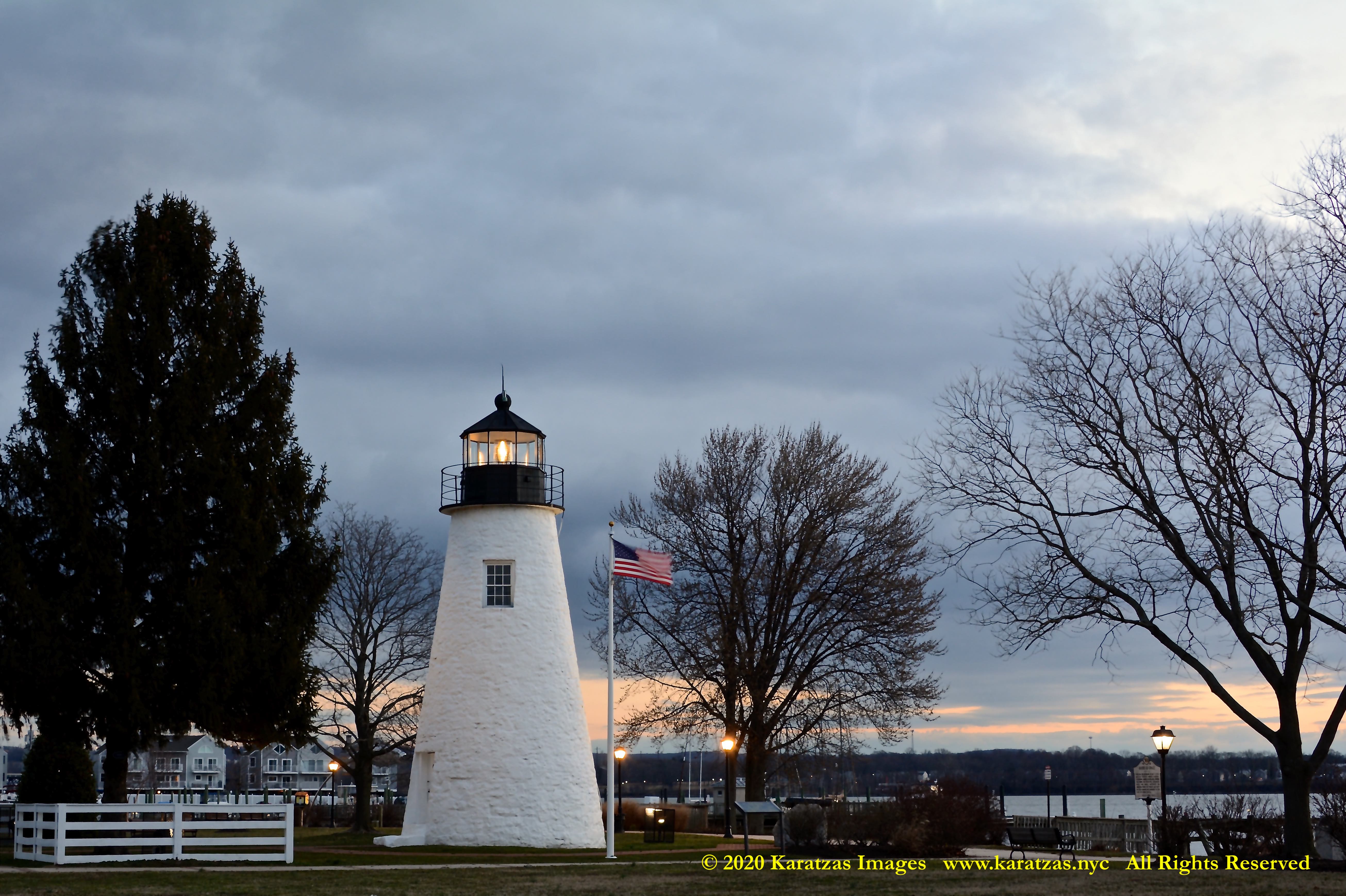
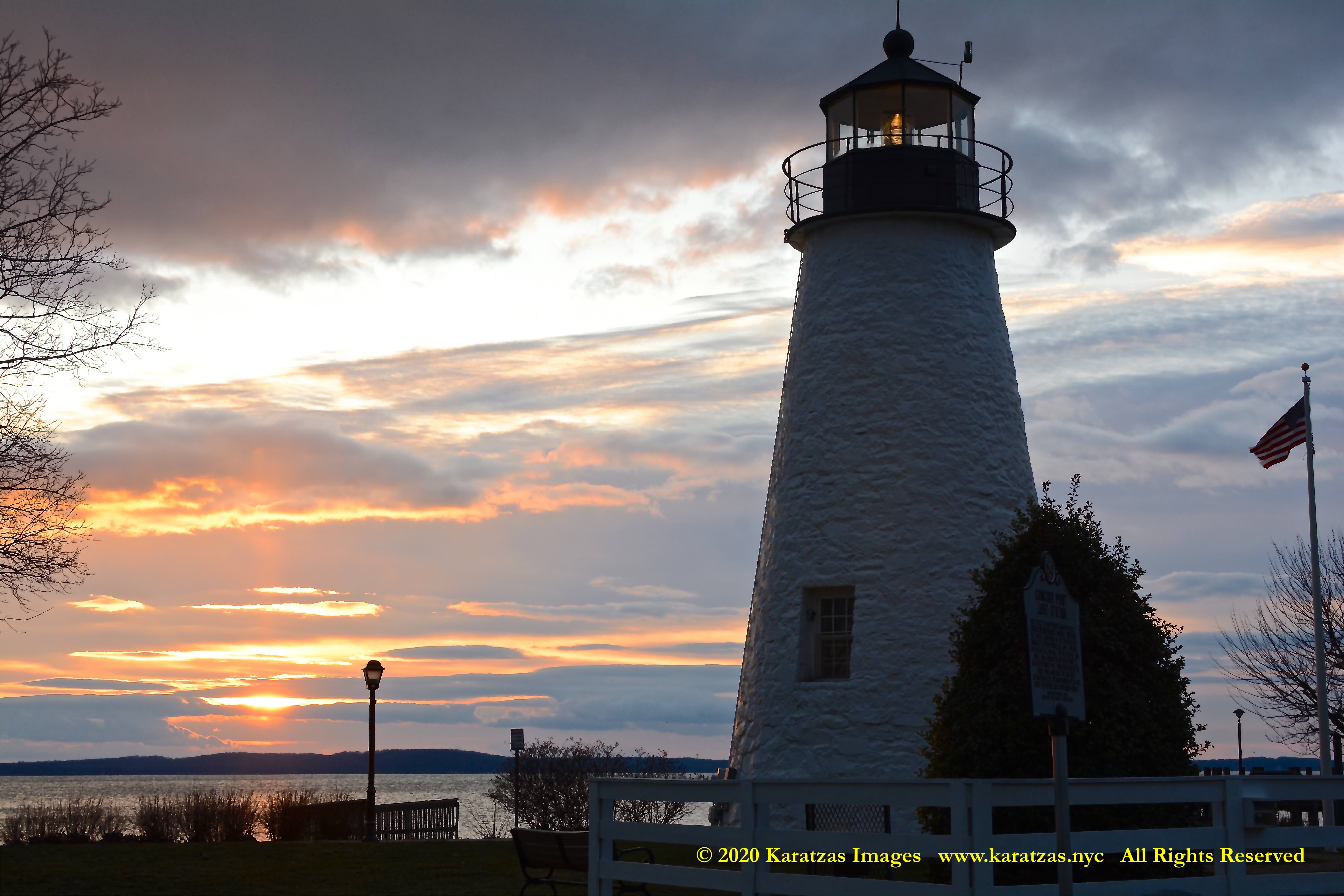
Originally built in 1827, located at the mouth of Susquehanna River flows into the Chesapeake Bay, images of Concord Point Lighthouse at sunrise. Image credit: Karatzas Images
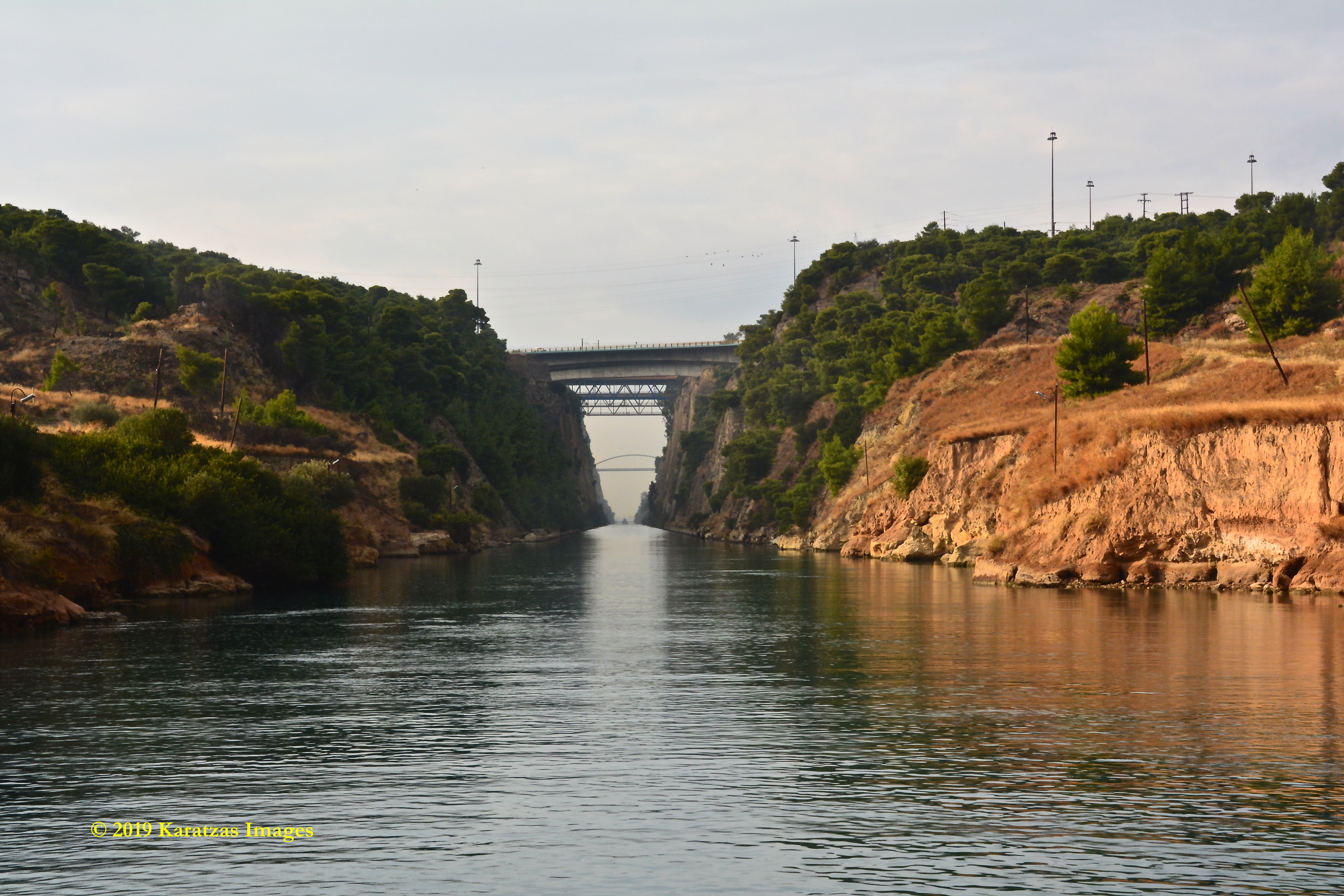
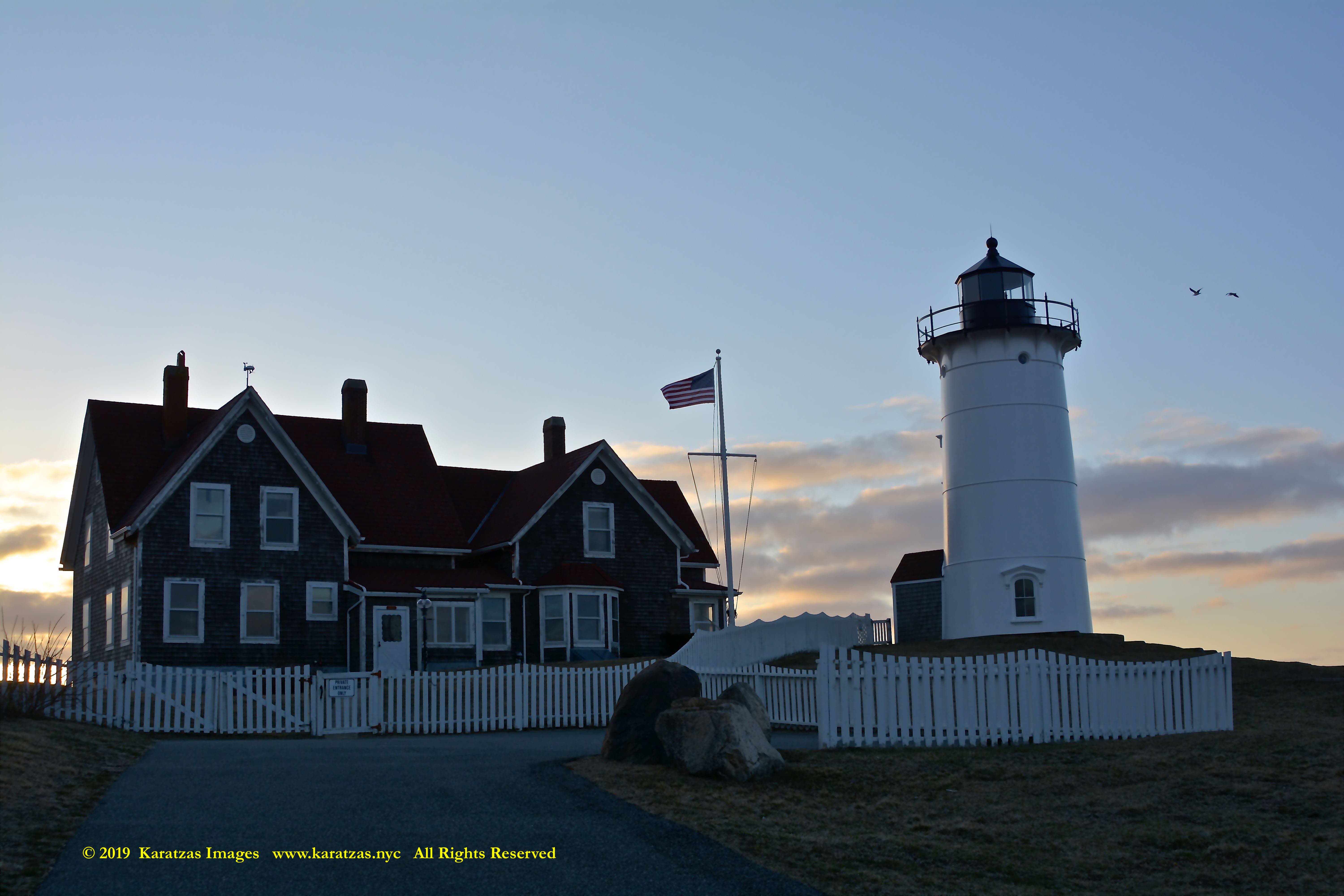
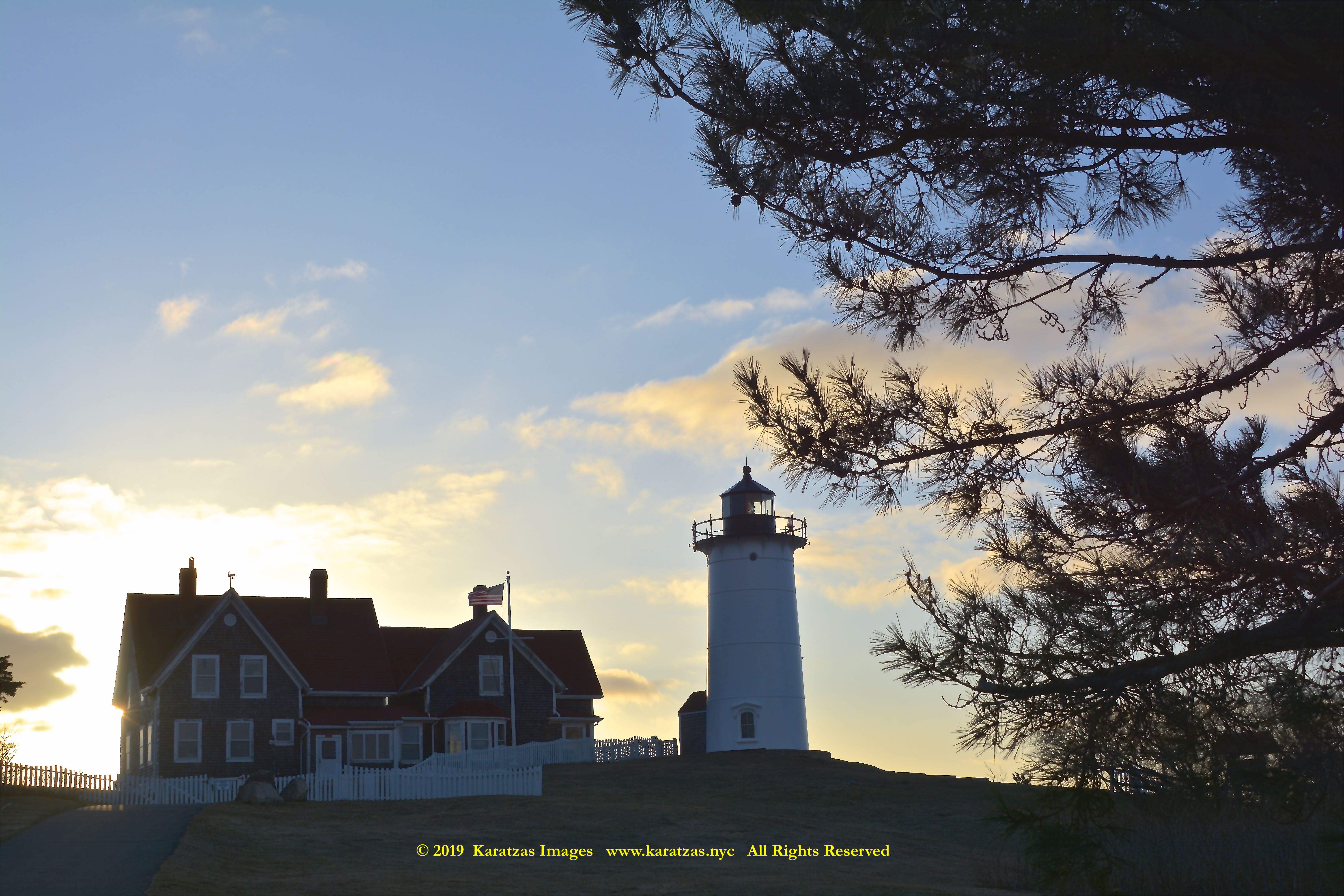
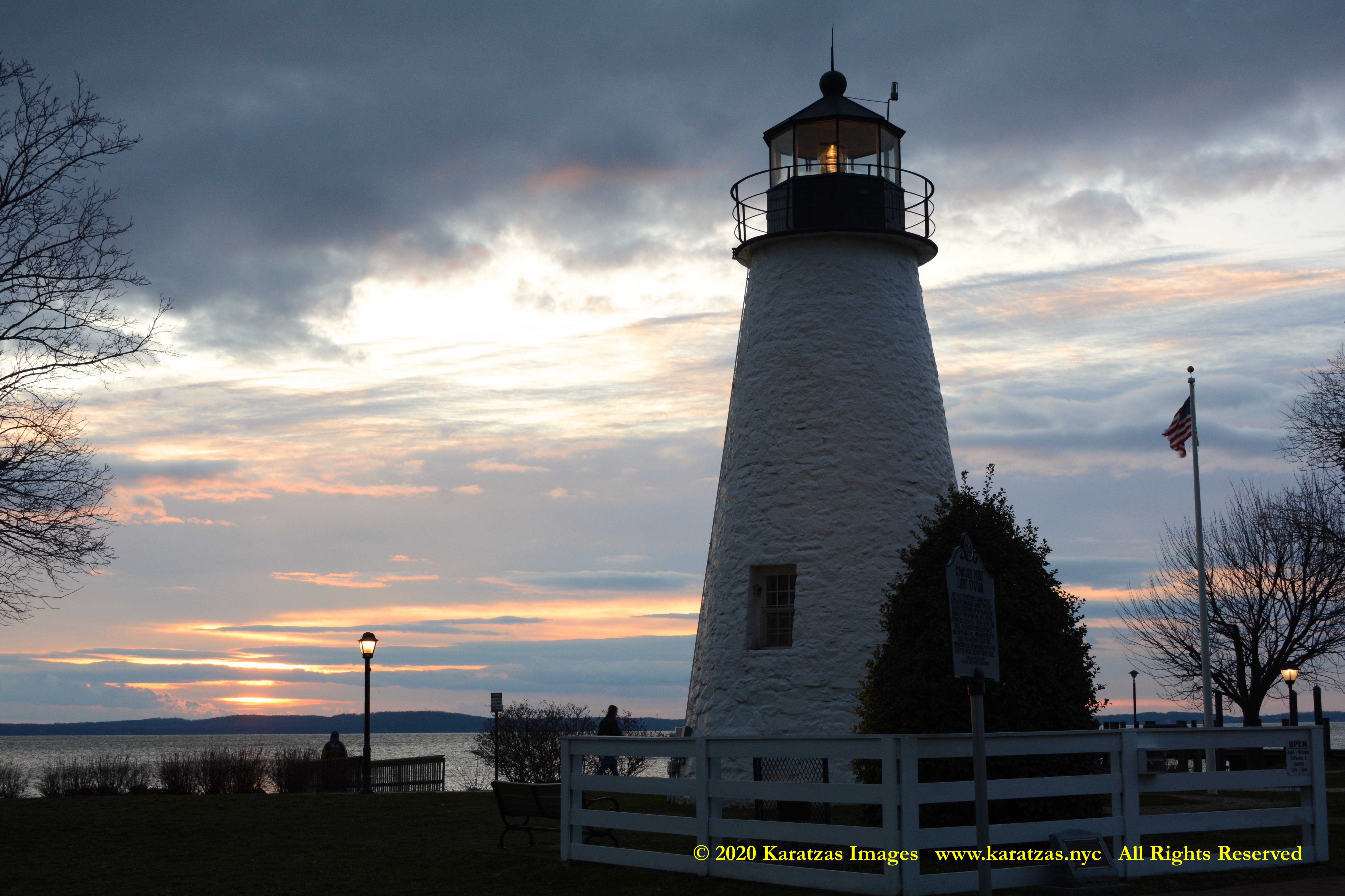
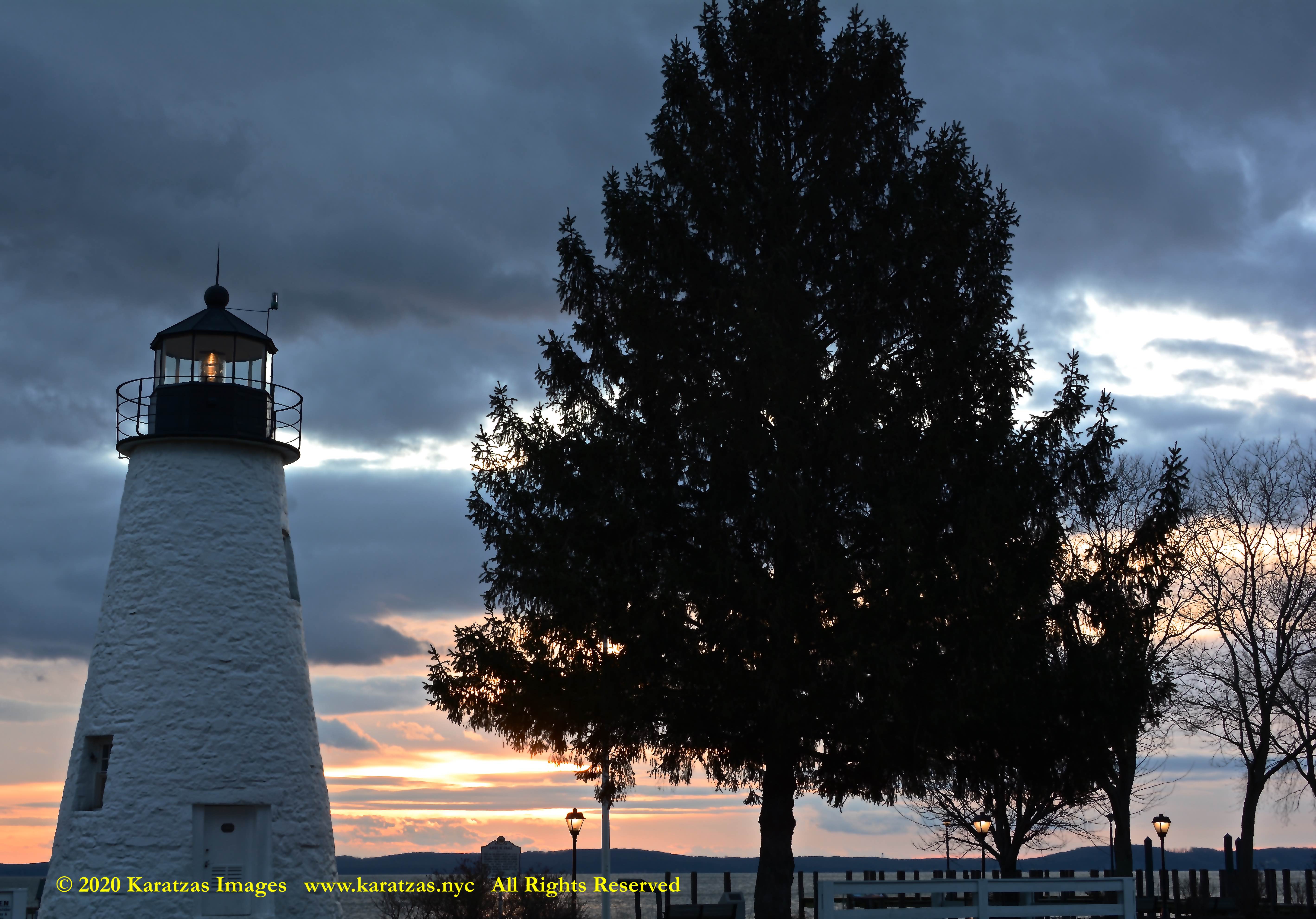
Originally built in 1827, located at the mouth of Susquehanna River flows into the Chesapeake Bay, images of Concord Point Lighthouse at sunrise. Image credit: Karatzas Images
Originally built in 1827, located at the mouth of Susquehanna River flows into the Chesapeake Bay, images of Concord Point Lighthouse at sunrise. Image credit: Karatzas Images
Originally built in 1827, located at the mouth of Susquehanna River flows into the Chesapeake Bay, images of Concord Point Lighthouse at sunrise. Image credit: Karatzas Images
Originally built in 1827, located at the mouth of Susquehanna River flows into the Chesapeake Bay, images of Concord Point Lighthouse at sunrise. Image credit: Karatzas Images
Originally built in 1827, located at the mouth of Susquehanna River flows into the Chesapeake Bay, images of Concord Point Lighthouse at sunrise. Image credit: Karatzas Images
Originally built in 1827, located at the mouth of Susquehanna River flows into the Chesapeake Bay, images of Concord Point Lighthouse at sunrise. Image credit: Karatzas Images
Originally built in 1827, located at the mouth of Susquehanna River flows into the Chesapeake Bay, images of Concord Point Lighthouse at sunrise. Image credit: Karatzas Images
Originally built in 1827, located at the mouth of Susquehanna River flows into the Chesapeake Bay, images of Concord Point Lighthouse at sunrise. Image credit: Karatzas Images
Originally built in 1827, located at the mouth of Susquehanna River flows into the Chesapeake Bay, images of Concord Point Lighthouse at sunrise. Image credit: Karatzas Images
© 2013 – present Basil M Karatzas & Karatzas Images. All Rights Reserved.
IMPORTANT DISCLAIMERS: The purpose of this blog is for entertainment and information purposes. Vessel description(s), if any, is/are provided in good faith and believed to be correct and accurate but no assurances, warranties or representations are made herewith. Any vessel description(s) is/are provided for entertainment purposes only. We assume no responsibility whatsoever for any errors / omissions in vessel description.
Access to this blog signifies the reader’s irrevocable acceptance of this disclaimer. No part of this blog can be reproduced by any means and under any circumstances, whatsoever, in whole or in part, without proper attribution or the consent of the copyright and trademark holders of this website. To purchase rights or merchandise of high resolutions images and art presented here, please visit www.karatzas.nyc or email < info [at] BMKaratzas.com >. Thank you for the consideration.