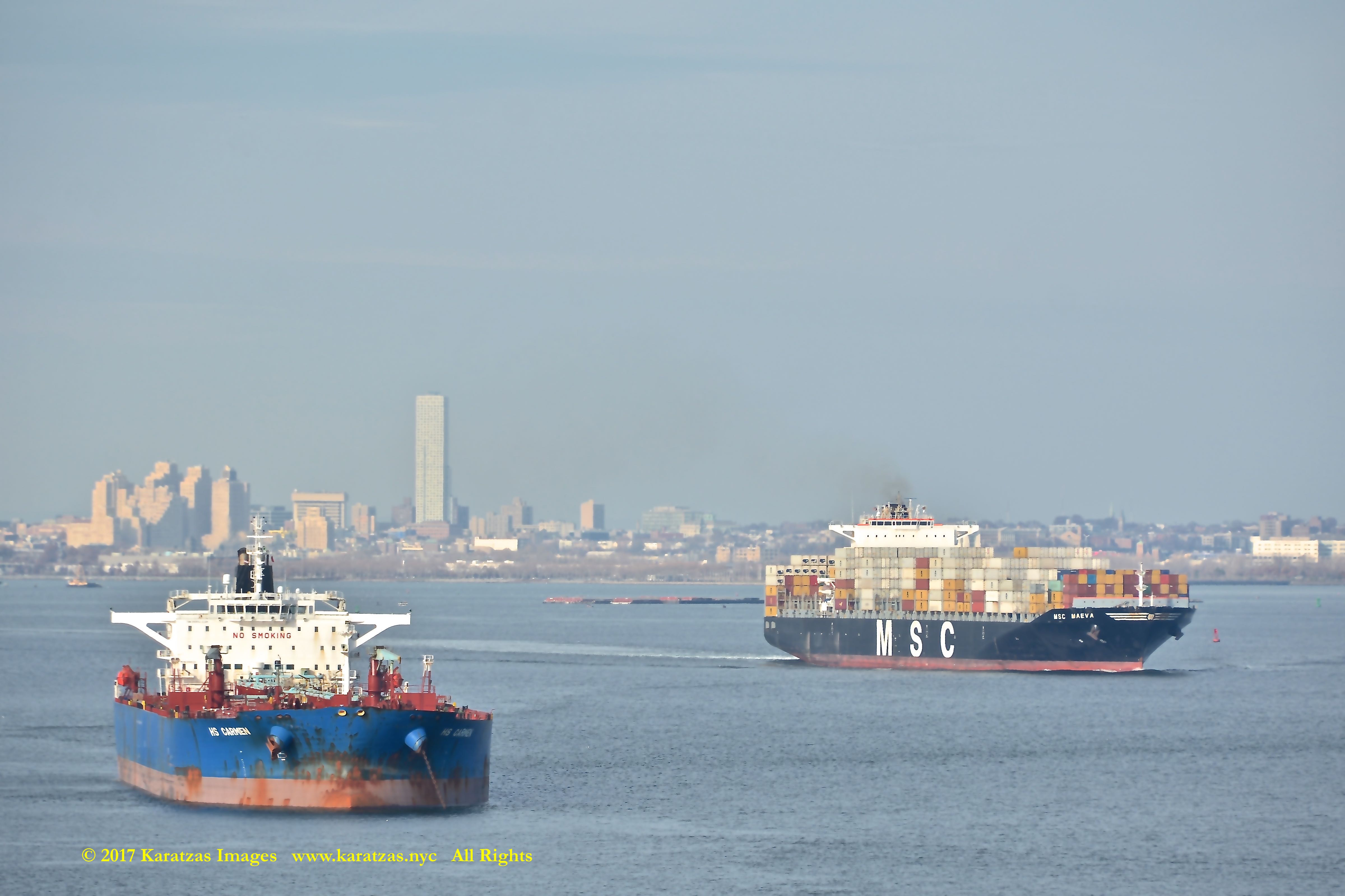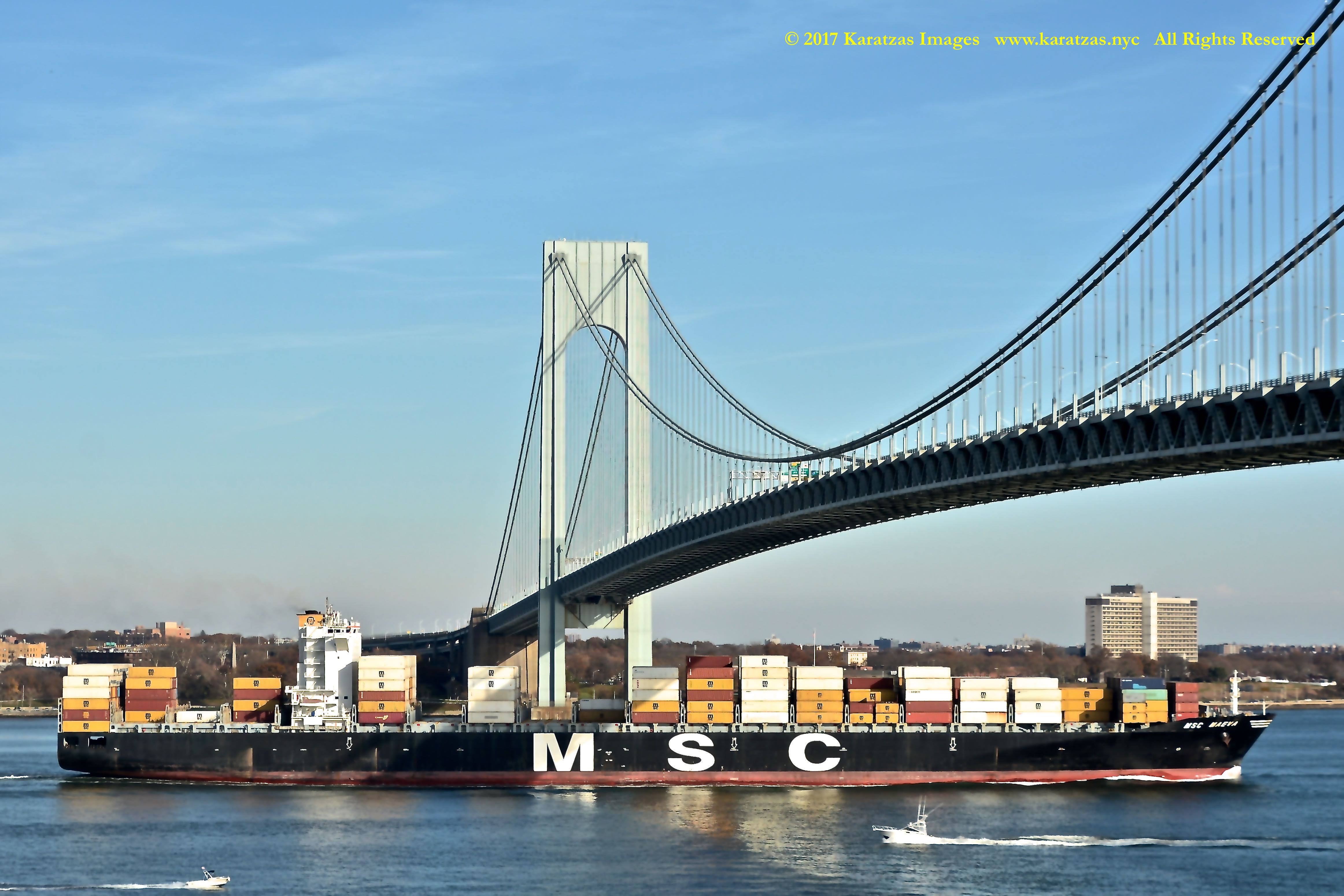
Karatzas Marine Advisors & Co Wishes You a most Prosperous, Happy New Year!
A traditional and historic means of navigational aids, lighthouses have saved life and property from destruction from nature’s controlling force over human limited power. Built close to treacherous seas and windswept promontories, lighthouses provided visual and acoustic warnings to mariners to impending dangers. Quite often, before automation, lighthouses were manned by light keepers living lives of solitude and sacrifice to ensure that other people were safe. One of the last links to maritime history, lighthouses keep drawing crowds of visitors every year. A sign of hope, a sign of life, a sign of care, a sign of community and inter-dependance, lighthouses have been evocative symbols of mankind conquering nature, of perseverance and resoluteness.
The images in this post were taken in the week between Christmas and New Year in 2017, except for the Highland Light pictures taken in March 2017; the lighthouses are located in the States of Maine, Massachusetts and South Carolina; Maine is approximately 600 miles north of New York and South Carolina and Cape Hatteras approximately 700 miles south of New York. During the time of the shootings, temperatures in Maine were well below freezing; actually at 2 deg F (-16 deg C) at 7am EST on the morning of December 27th; the weather in South Carolina still cold but minimally sub-freezing.
We hope that you enjoy the pictures herewith and we sincerely hope that they bring light and hope and strength and inspiration to you and loved ones, at home and at work, in 2018!
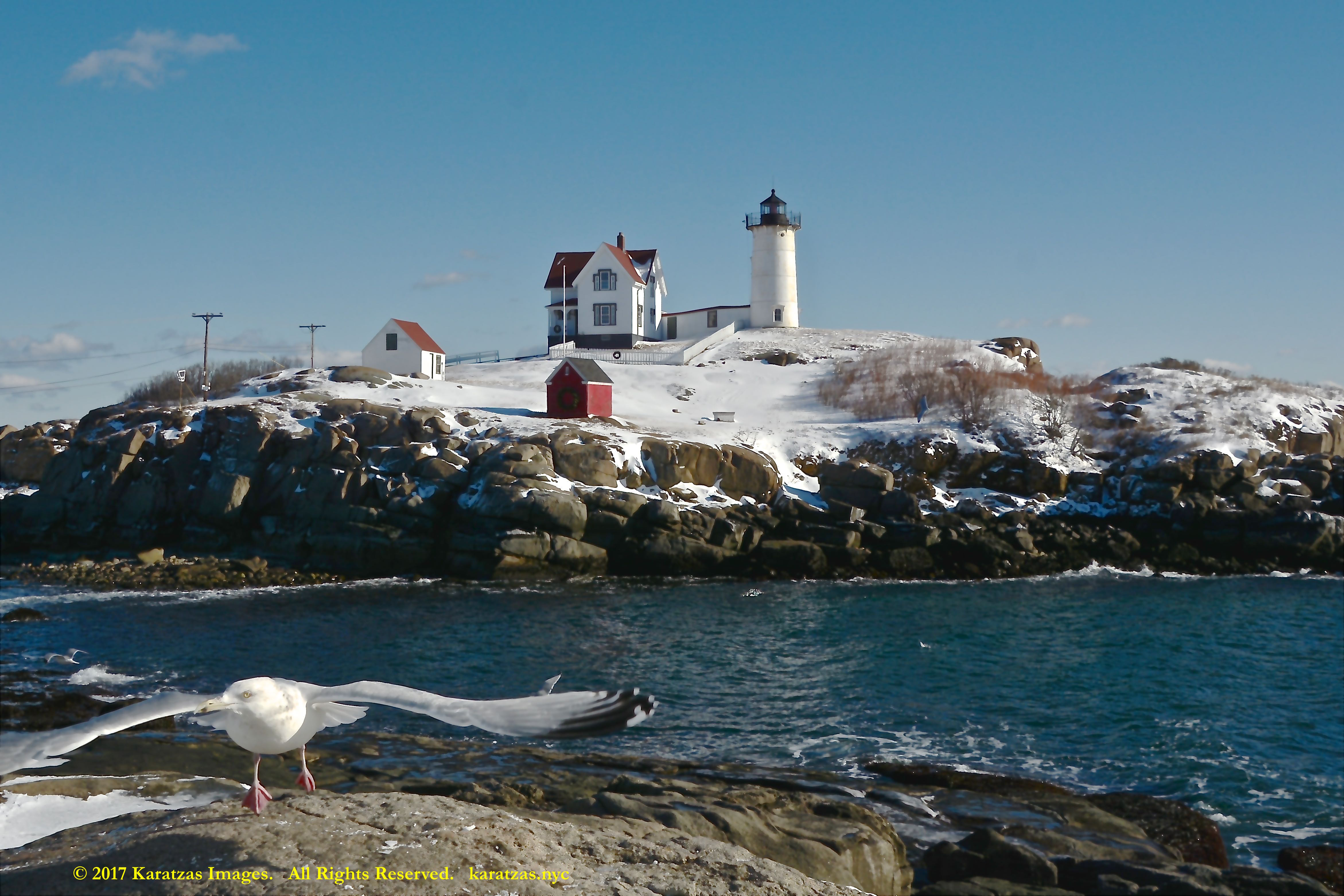
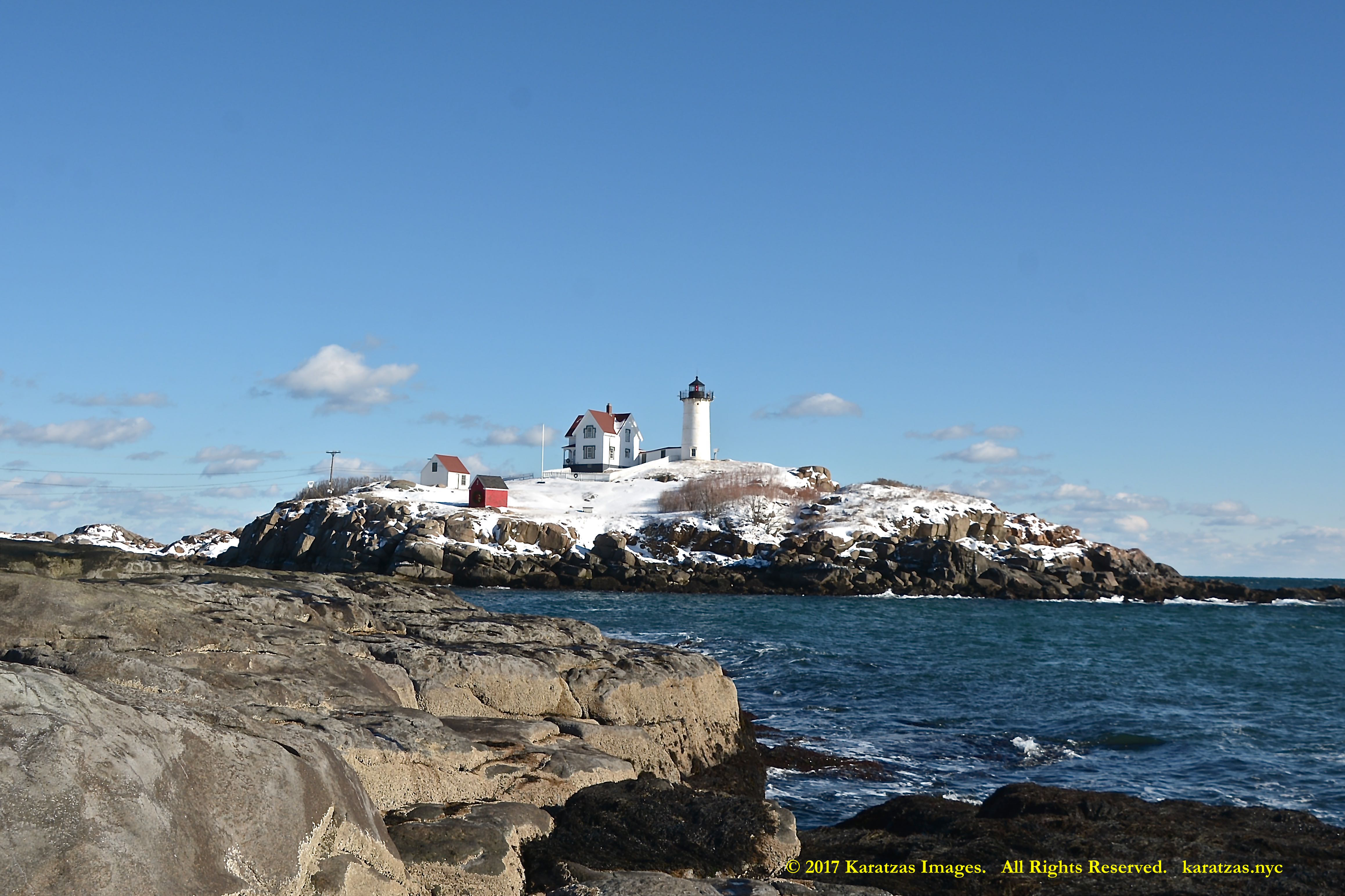
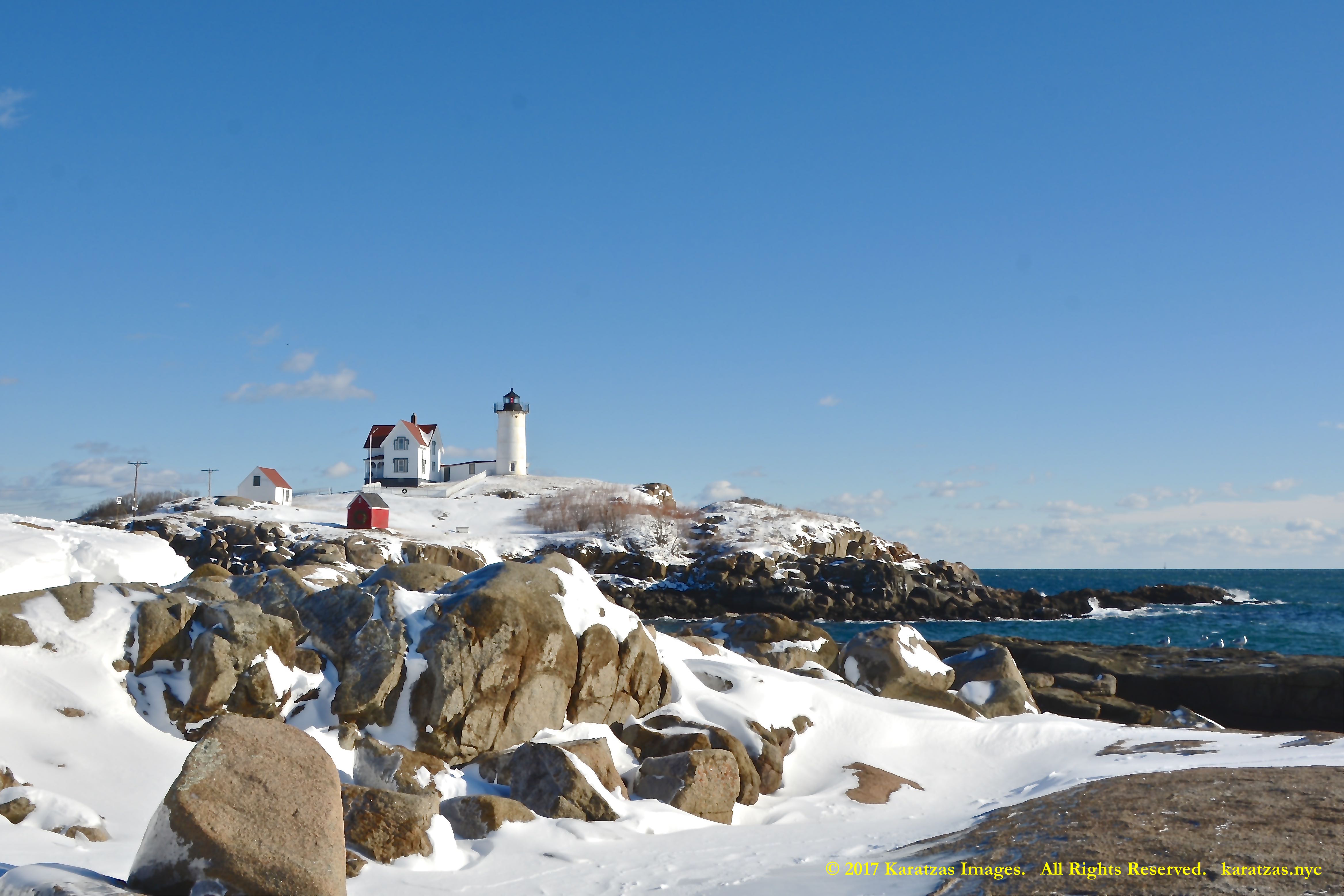
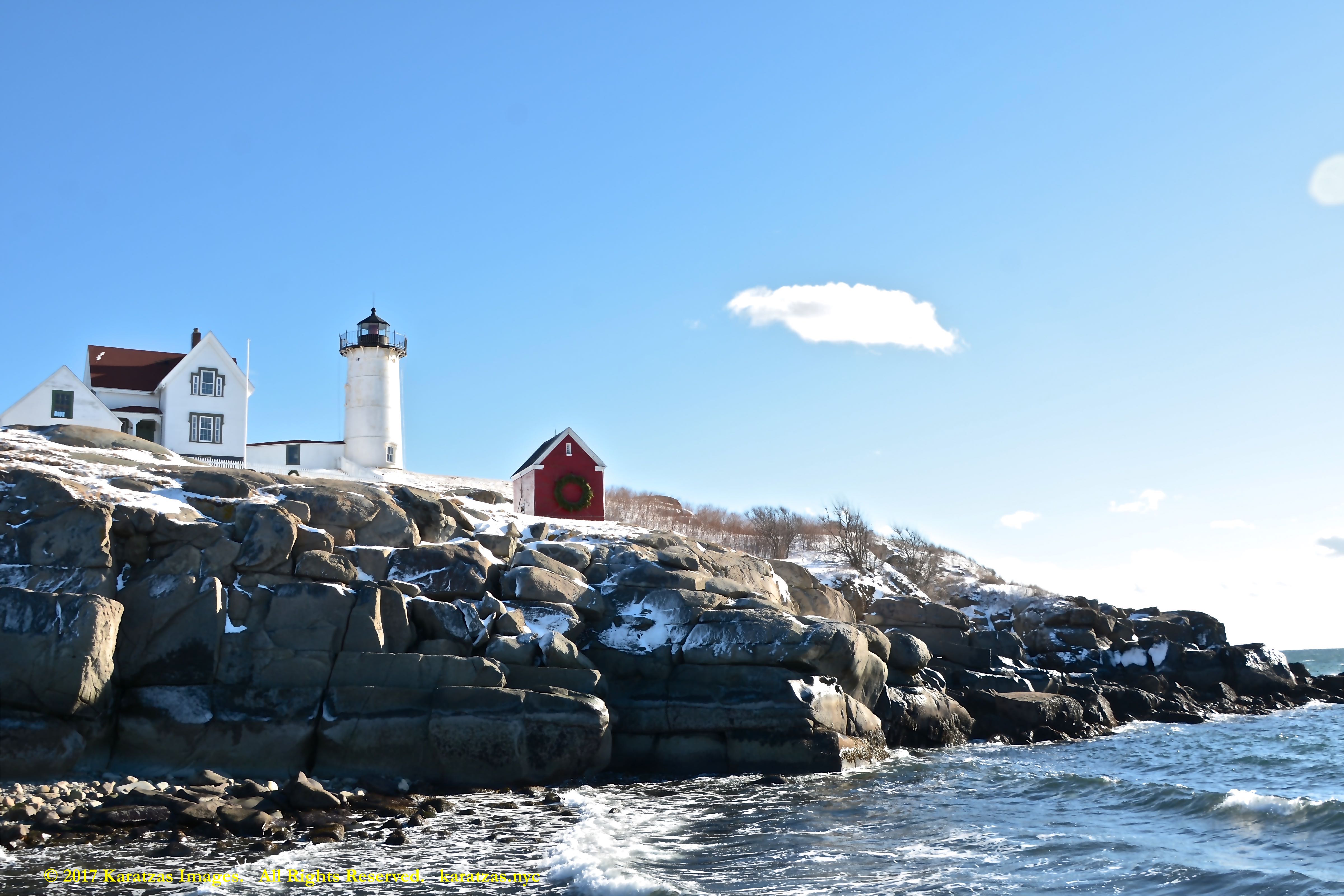
Built in 1847 and standing 88 ft (27m) tall, the Cape Neddick Light (also known as Nubble Light and Cape Neck) is listed in the National Register of Historic Places in the USA. The Voyager spacecraft, which carries photographs of Earth’s most prominent man-made structures and natural features, should it fall into the hands of intelligent extraterrestrials, includes a photo of Nubble Light with images of the Great Wall of China and the Taj Mahal. Image credit: Karatzas Images.
Built in 1847 and standing 88 ft (27m) tall, the Cape Neddick Light (also known as Nubble Light and Cape Neck) is listed in the National Register of Historic Places in the USA. The Voyager spacecraft, which carries photographs of Earth’s most prominent man-made structures and natural features, should it fall into the hands of intelligent extraterrestrials, includes a photo of Nubble Light with images of the Great Wall of China and the Taj Mahal. Image credit: Karatzas Images.
Built in 1847 and standing 88 ft (27m) tall, the Cape Neddick Light (also known as Nubble Light and Cape Neck) is listed in the National Register of Historic Places in the USA. The Voyager spacecraft, which carries photographs of Earth’s most prominent man-made structures and natural features, should it fall into the hands of intelligent extraterrestrials, includes a photo of Nubble Light with images of the Great Wall of China and the Taj Mahal. Image credit: Karatzas Images.
Built in 1847 and standing 88 ft (27m) tall, the Cape Neddick Light (also known as Nubble Light and Cape Neck) is listed in the National Register of Historic Places in the USA. The Voyager spacecraft, which carries photographs of Earth’s most prominent man-made structures and natural features, should it fall into the hands of intelligent extraterrestrials, includes a photo of Nubble Light with images of the Great Wall of China and the Taj Mahal. Image credit: Karatzas Images.
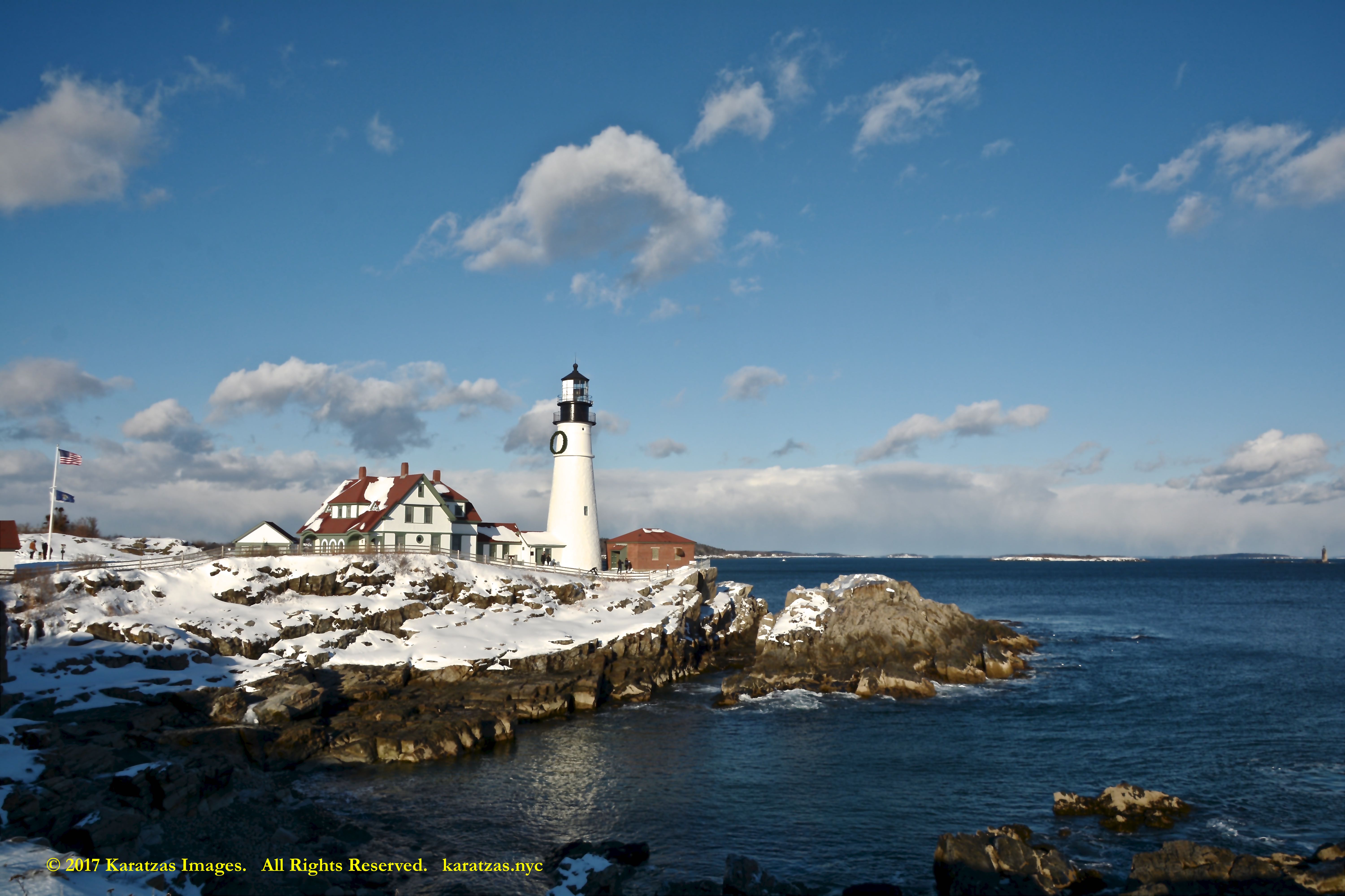
Construction began in 1787 under the administration of the first president of the USA George Washington, Portland Head Light, also known as the Cape Elizabeth Lighthouse, is a historic lighthouse in Cape Elizabeth, Maine. The light station sits on a head of land at the entrance of the primary shipping channel into Portland Harbor, which is within Casco Bay in the Gulf of Maine. Image credit: Karatzas Images.
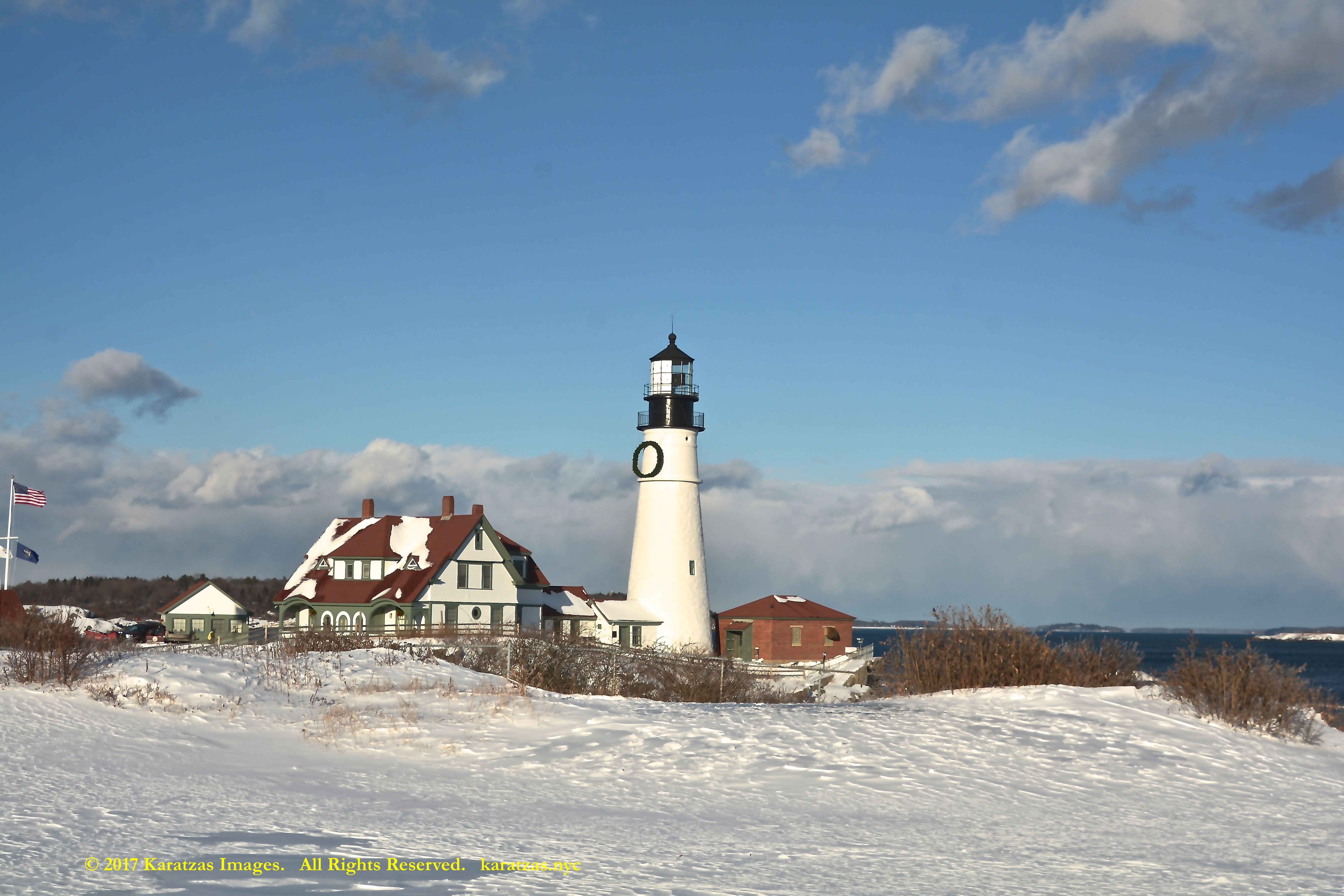
Construction began in 1787 under the administration of the first president of the USA George Washington, Portland Head Light, also known as the Cape Elizabeth Lighthouse, is a historic lighthouse in Cape Elizabeth, Maine. The light station sits on a head of land at the entrance of the primary shipping channel into Portland Harbor, which is within Casco Bay in the Gulf of Maine. Image credit: Karatzas Images.
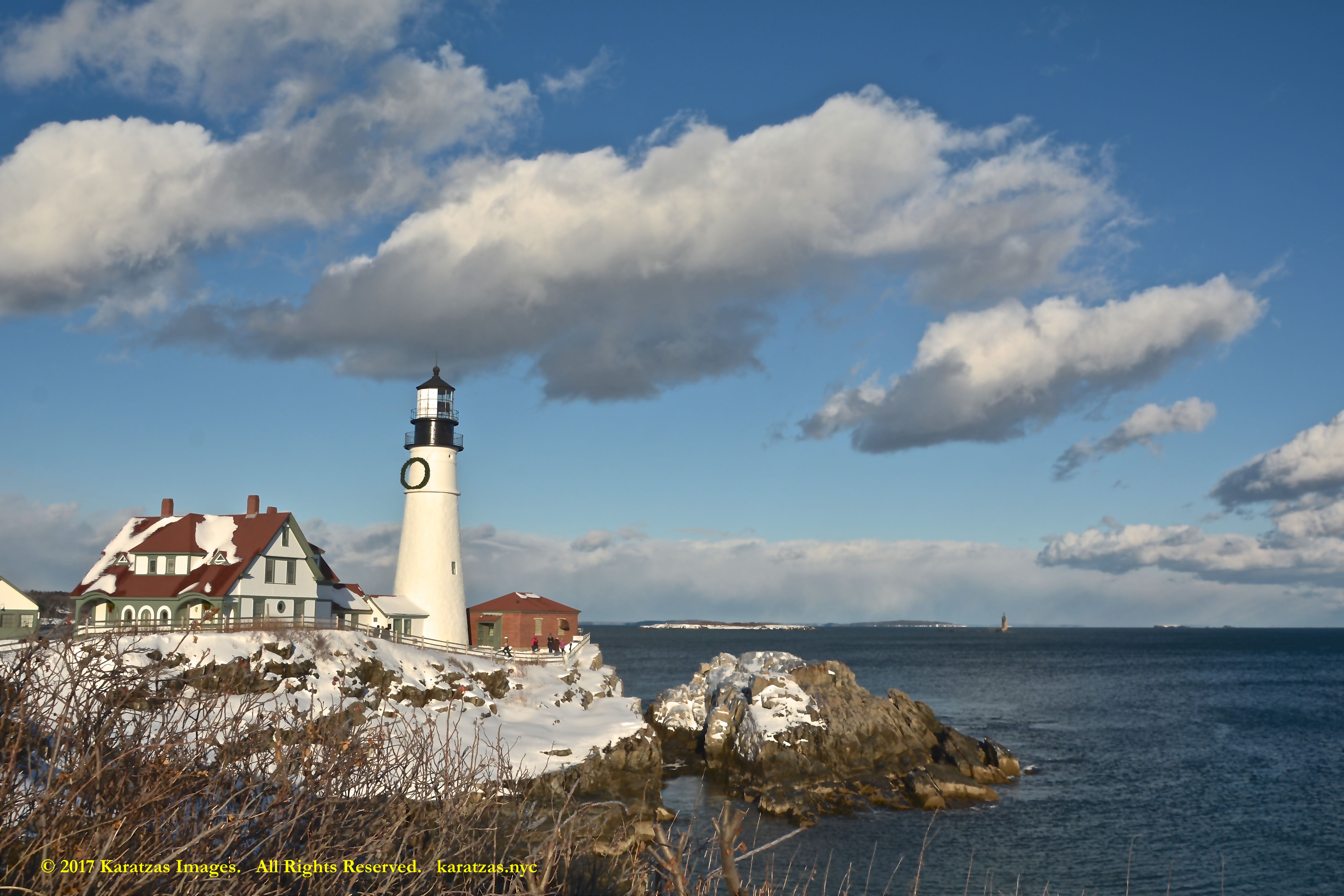
Construction began in 1787 under the administration of the first president of the USA George Washington, Portland Head Light, also known as the Cape Elizabeth Lighthouse, is a historic lighthouse in Cape Elizabeth, Maine. The light station sits on a head of land at the entrance of the primary shipping channel into Portland Harbor, which is within Casco Bay in the Gulf of Maine. Image credit: Karatzas Images.
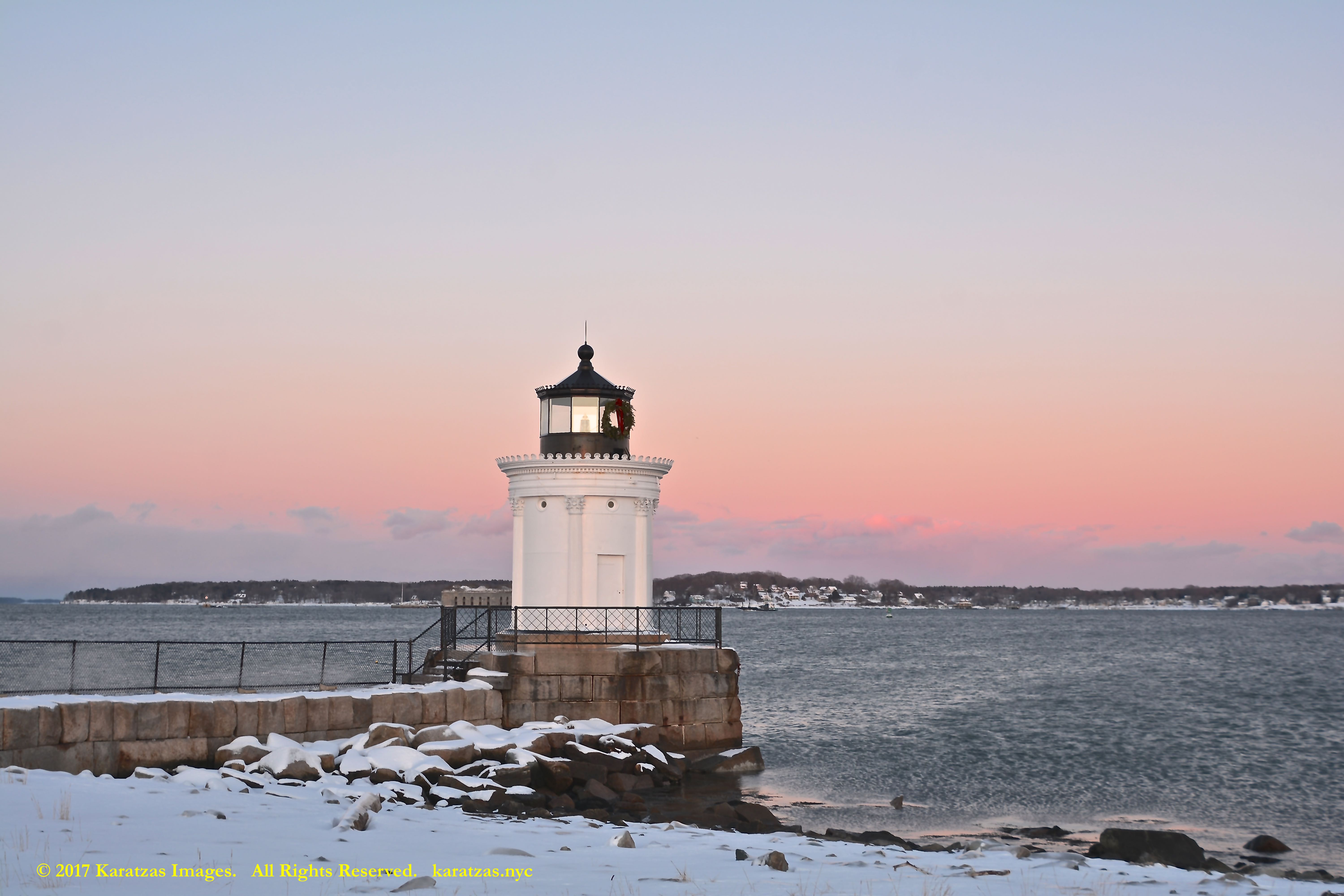
The Portland Breakwater Light (also called Bug Light) was originally built in 1855. The current structure dates back to 1875 and is made of curved cast-iron plates whose seams are disguised by six decorative Corinthian columns. Its design was inspired by the Choragic Monument of Lysicrates in Athens. Image credit: Karatzas Images.
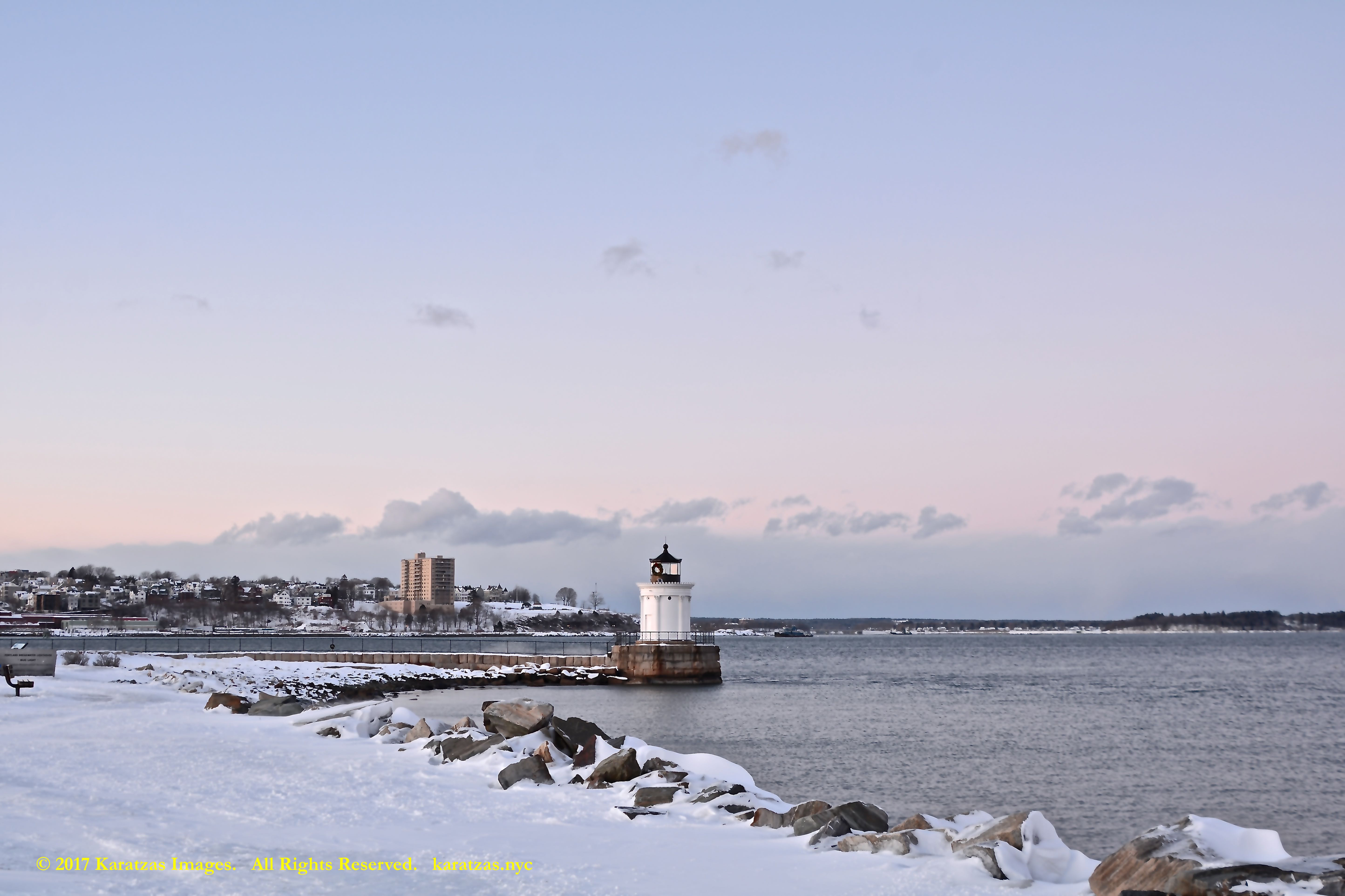
The Portland Breakwater Light (also called Bug Light) was originally built in 1855. The current structure dates back to 1875 and is made of curved cast-iron plates whose seams are disguised by six decorative Corinthian columns. Its design was inspired by the Choragic Monument of Lysicrates in Athens. Image credit: Karatzas Images.
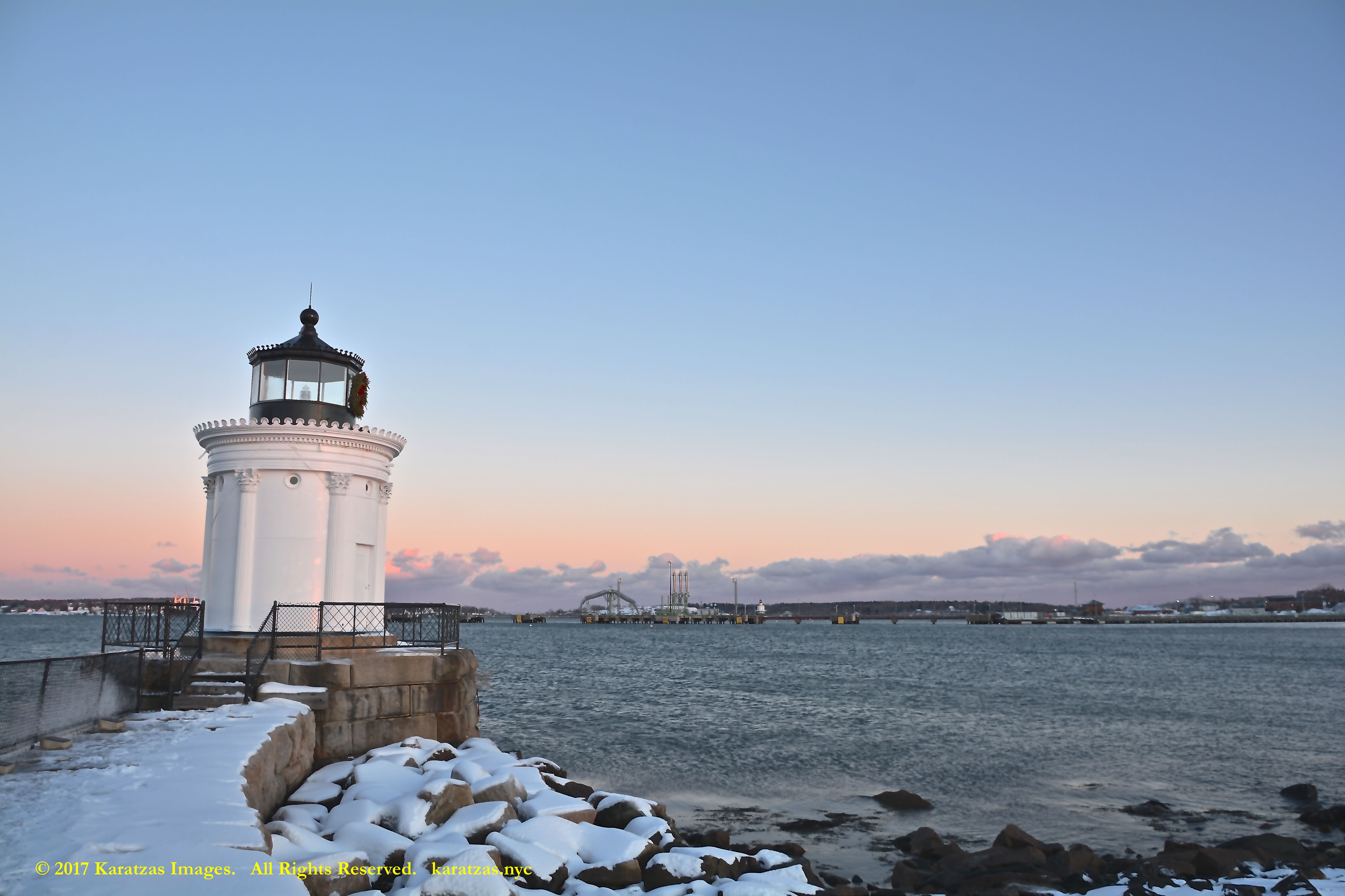
The Portland Breakwater Light (also called Bug Light) was originally built in 1855. The current structure dates back to 1875 and is made of curved cast-iron plates whose seams are disguised by six decorative Corinthian columns. Its design was inspired by the Choragic Monument of Lysicrates in Athens. Image credit: Karatzas Images.
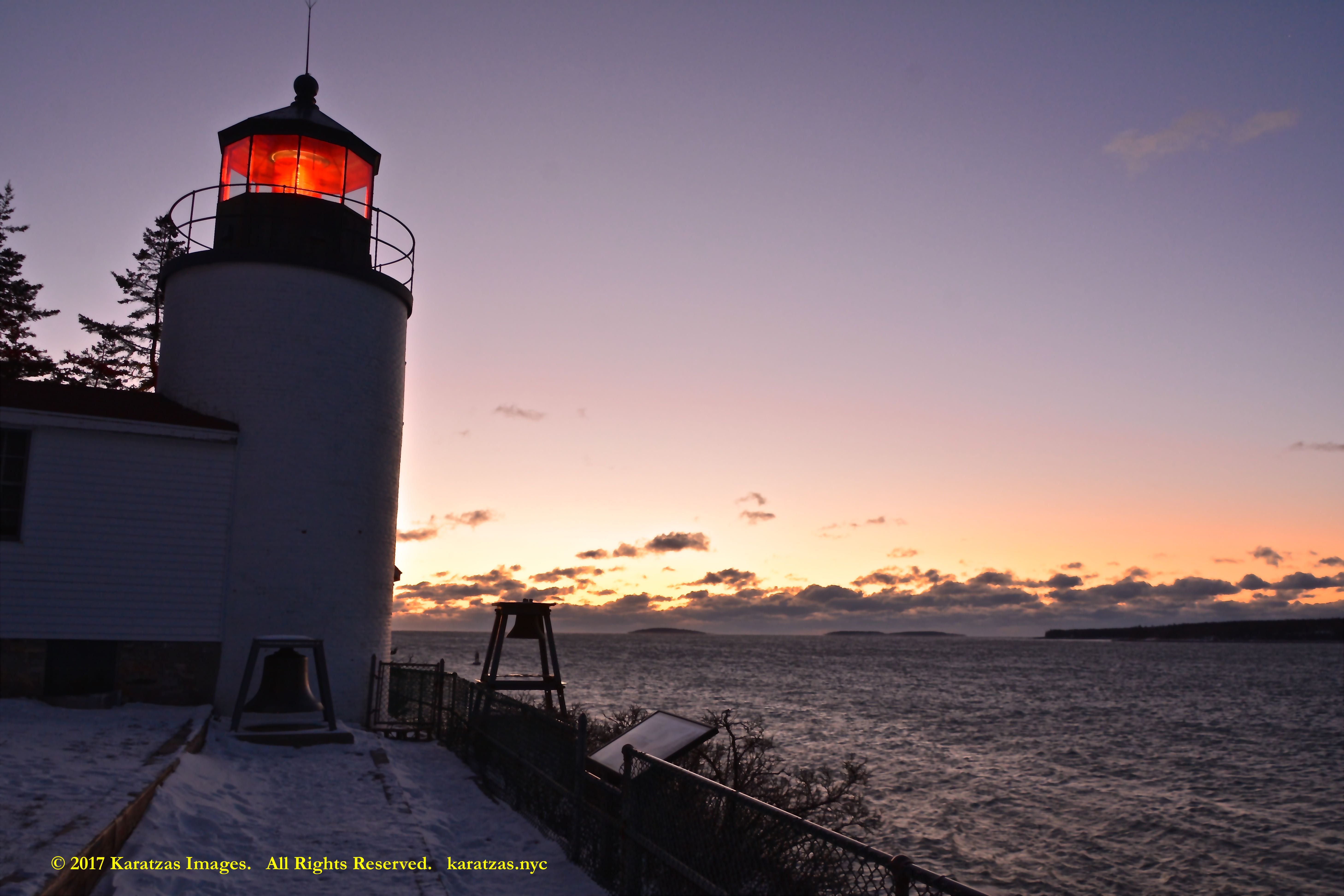
Bass Harbor Head Lighthouse is located within Acadia National Park in the southwest portion of Mount Desert Island, Maine, marking the entrance to Bass Harbor and Blue Hill Bay. Originally was constructed in 1858, Today, the keeper’s house is a private residence for a local Coast Guard member and his family. Image credit: Karatzas Images.
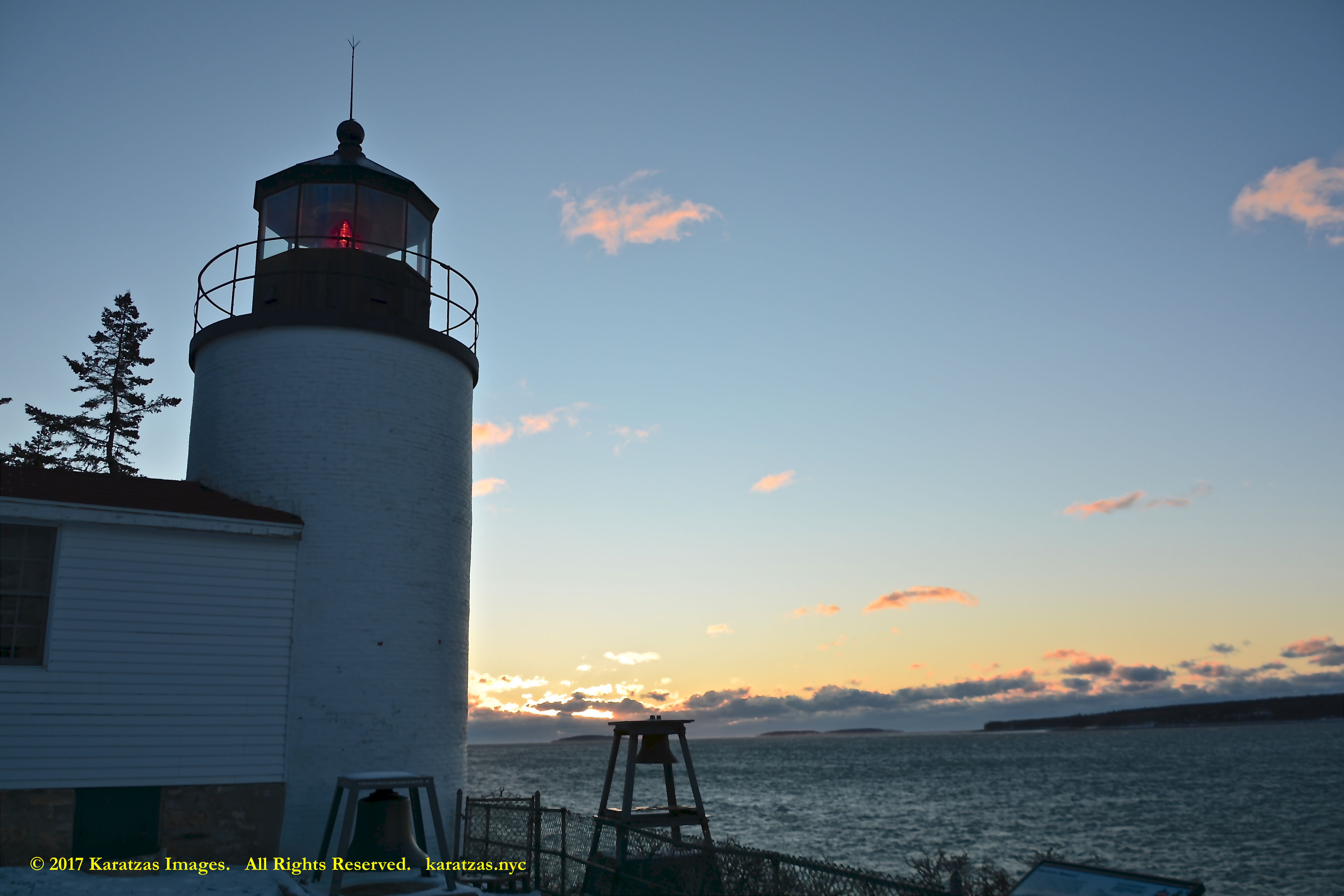
Bass Harbor Head Lighthouse is located within Acadia National Park in the southwest portion of Mount Desert Island, Maine, marking the entrance to Bass Harbor and Blue Hill Bay. Originally was constructed in 1858, Today, the keeper’s house is a private residence for a local Coast Guard member and his family. Image credit: Karatzas Images.
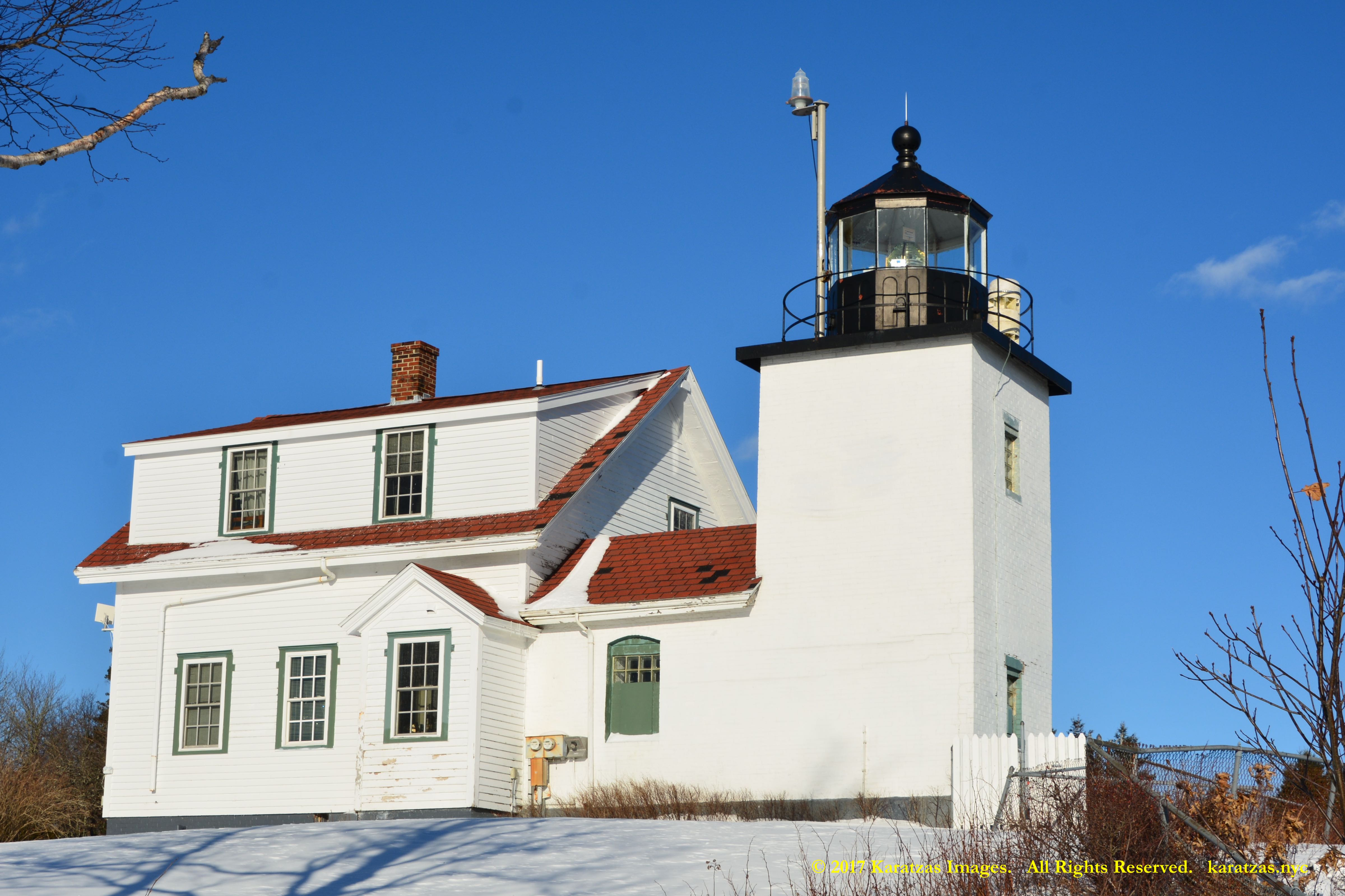
The Fort Point Light, also known as Fort Point Light Station, is located in Fort Point State Park, in Stockton Springs, Maine. The present lighthouse (focal height of 88 ft (27 m)) dates to 1857, and is listed in the National Register of Historic Places. Image credit: Karatzas Images.
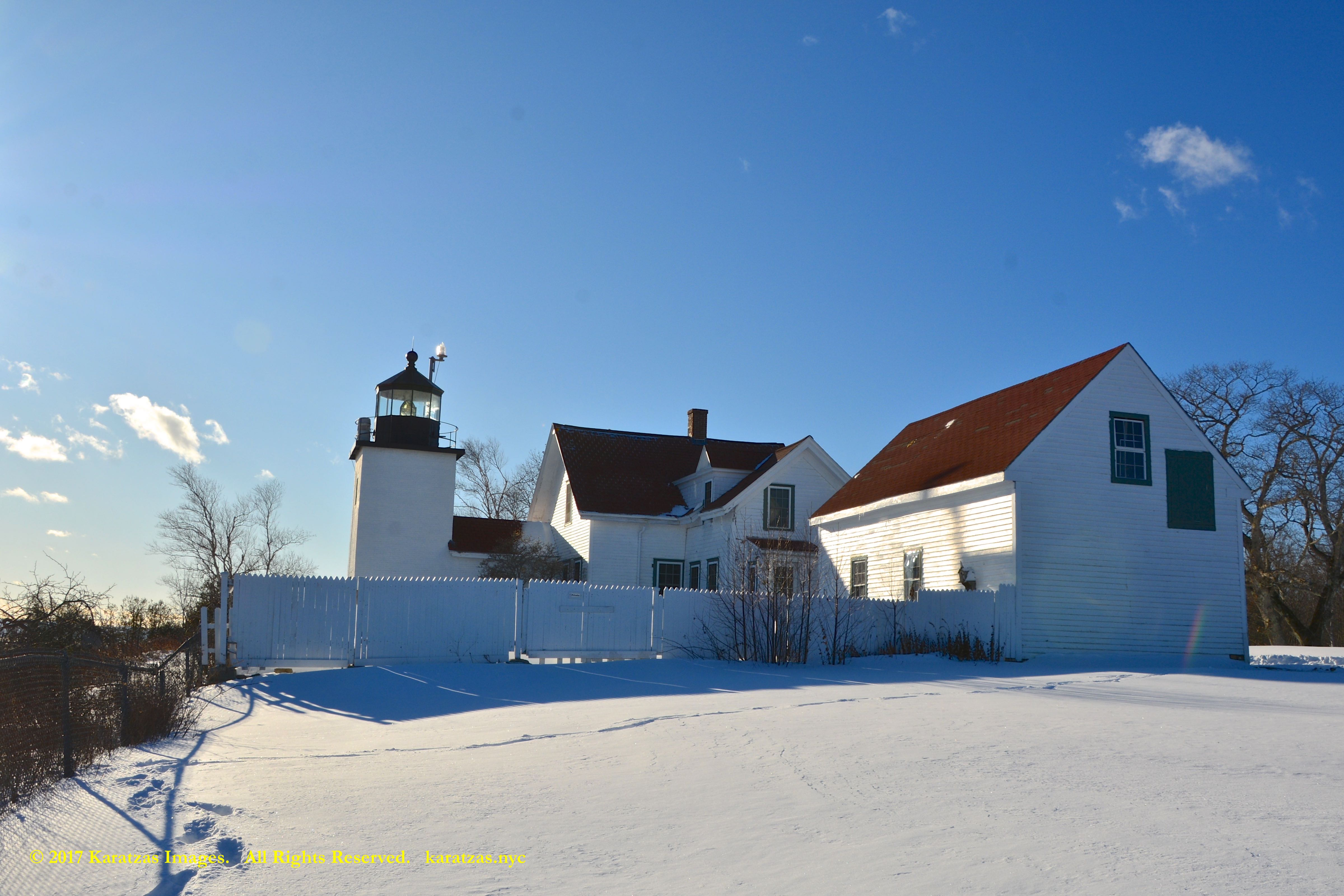
The Fort Point Light, also known as Fort Point Light Station, is located in Fort Point State Park, in Stockton Springs, Maine. The present lighthouse (focal height of 88 ft (27 m)) dates to 1857, and is listed in the National Register of Historic Places. Image credit: Karatzas Images.
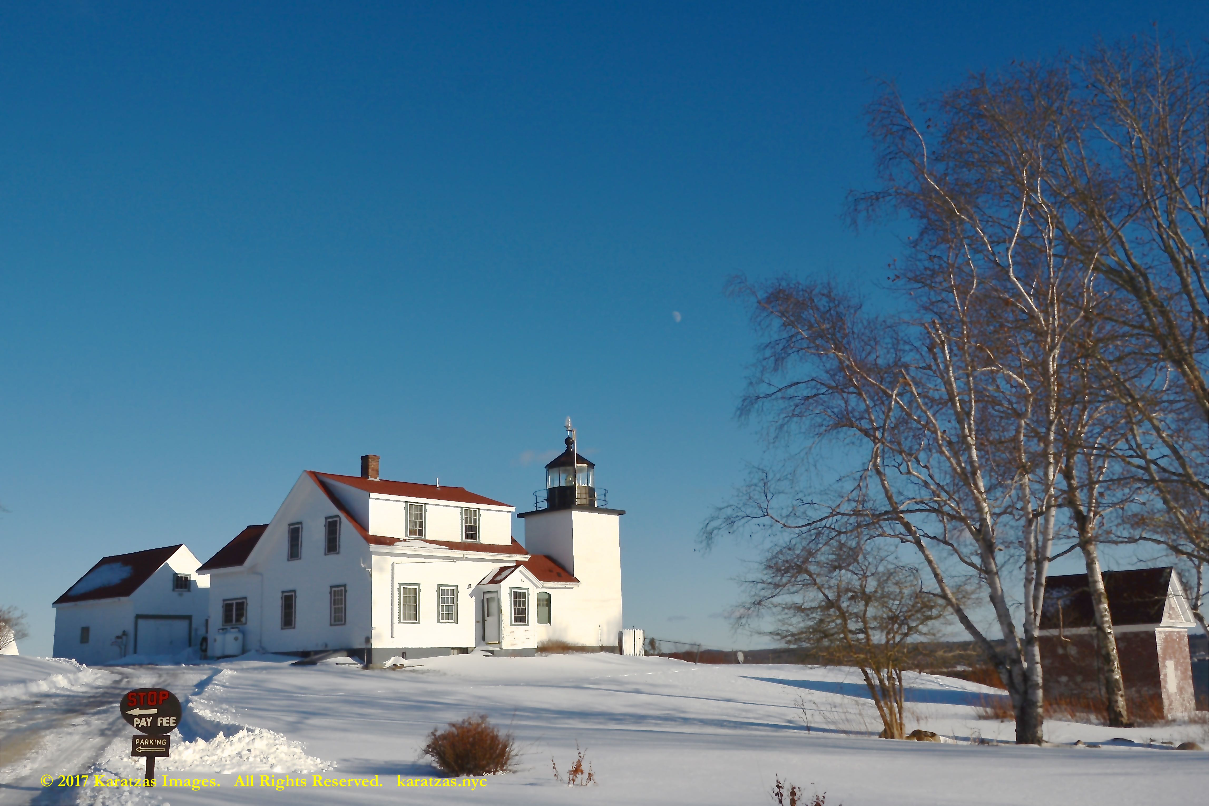
The Fort Point Light, also known as Fort Point Light Station, is located in Fort Point State Park, in Stockton Springs, Maine. The present lighthouse (focal height of 88 ft (27 m)) dates to 1857, and is listed in the National Register of Historic Places. Image credit: Karatzas Images.
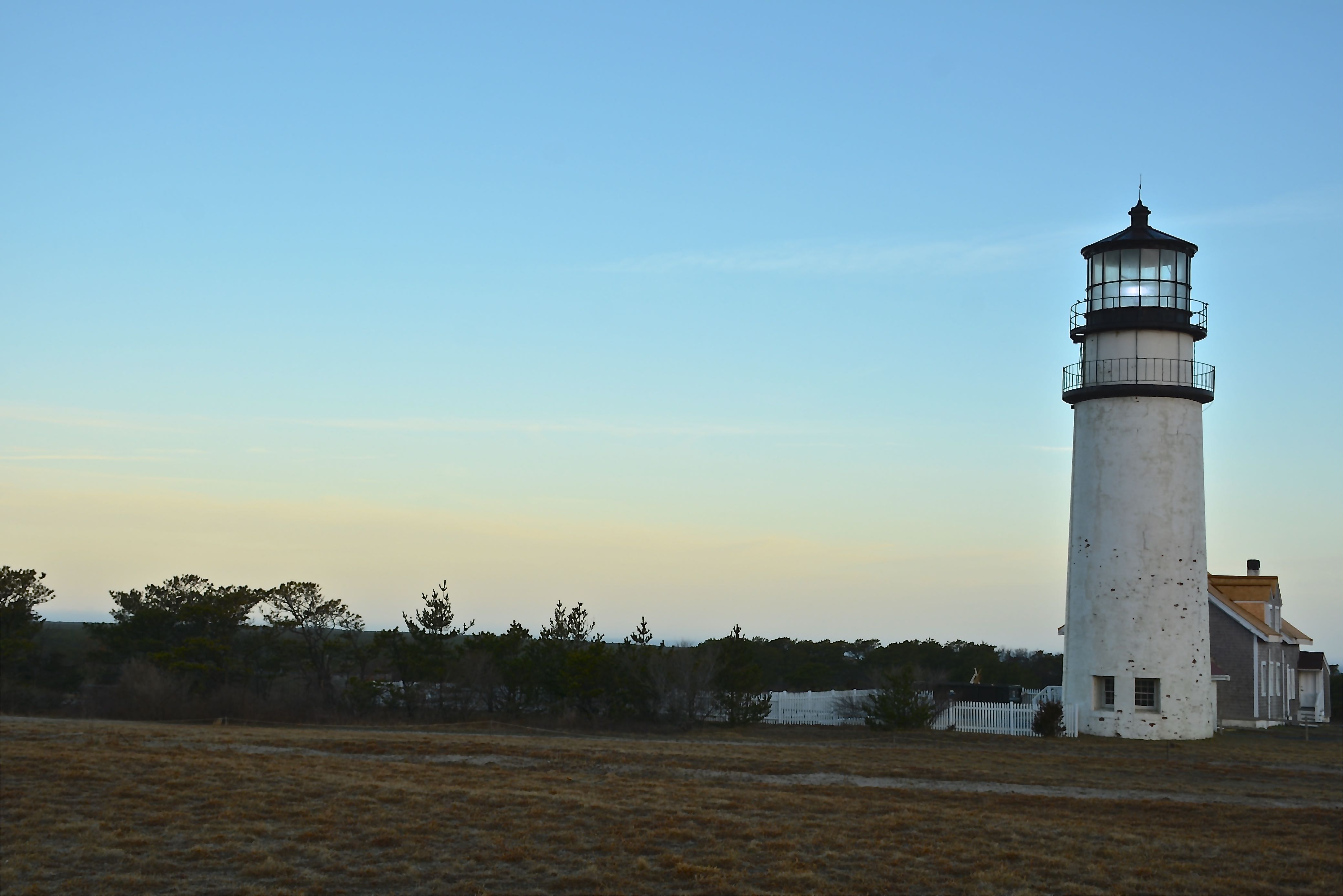
The Highland Light (previously known as Cape Cod Light) is an active lighthouse on the Cape Cod National Seashore in North Truro, Massachusetts. Originally commissioned by the first president of the United States George Washington in 1797, The current tower was erected in 1857. It is the oldest and tallest lighthouse on Cape Cod. Image credit: Karatzas Images.
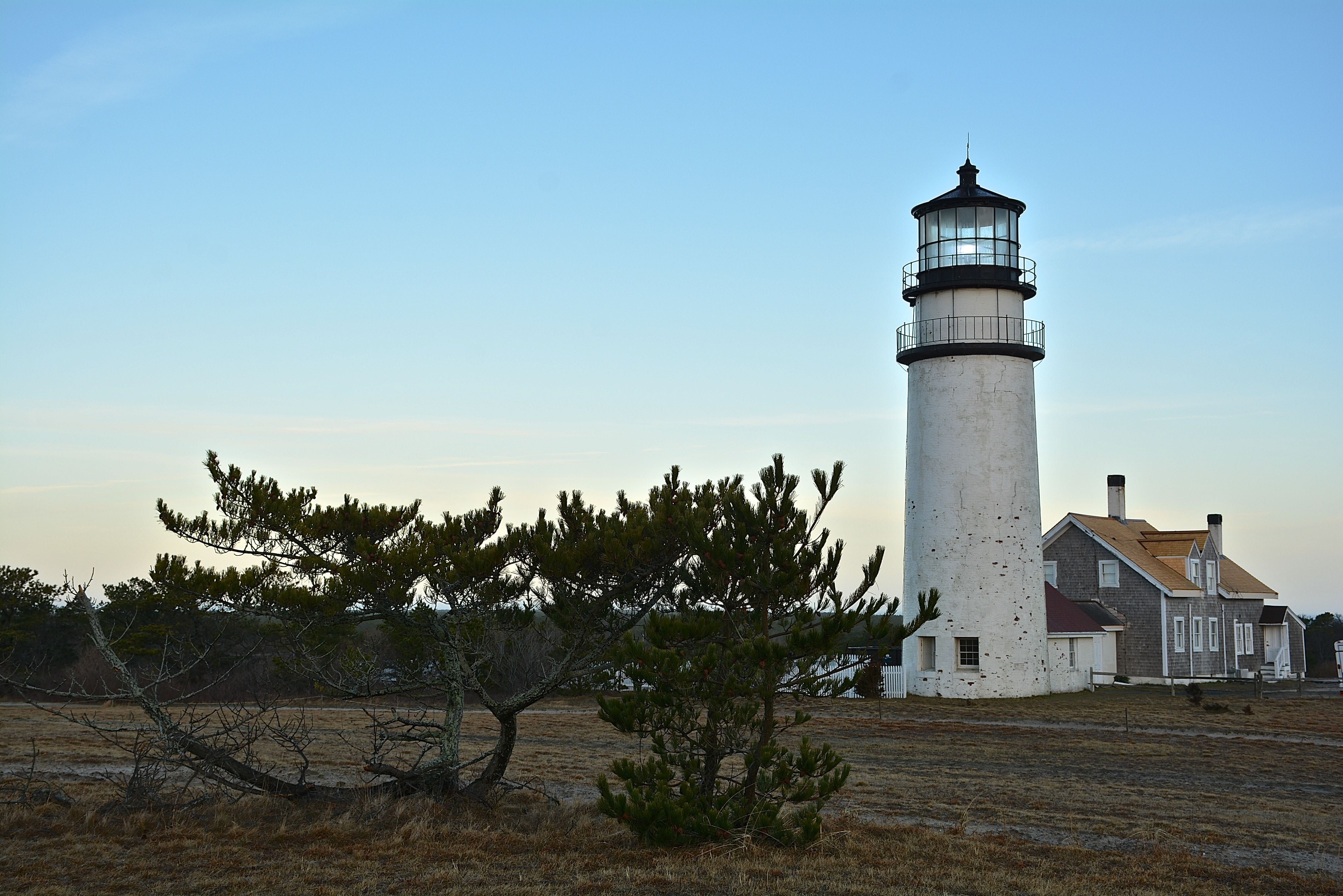
The Highland Light (previously known as Cape Cod Light) is an active lighthouse on the Cape Cod National Seashore in North Truro, Massachusetts. Originally commissioned by the first president of the United States George Washington in 1797, The current tower was erected in 1857. It is the oldest and tallest lighthouse on Cape Cod. Image credit: Karatzas Images.
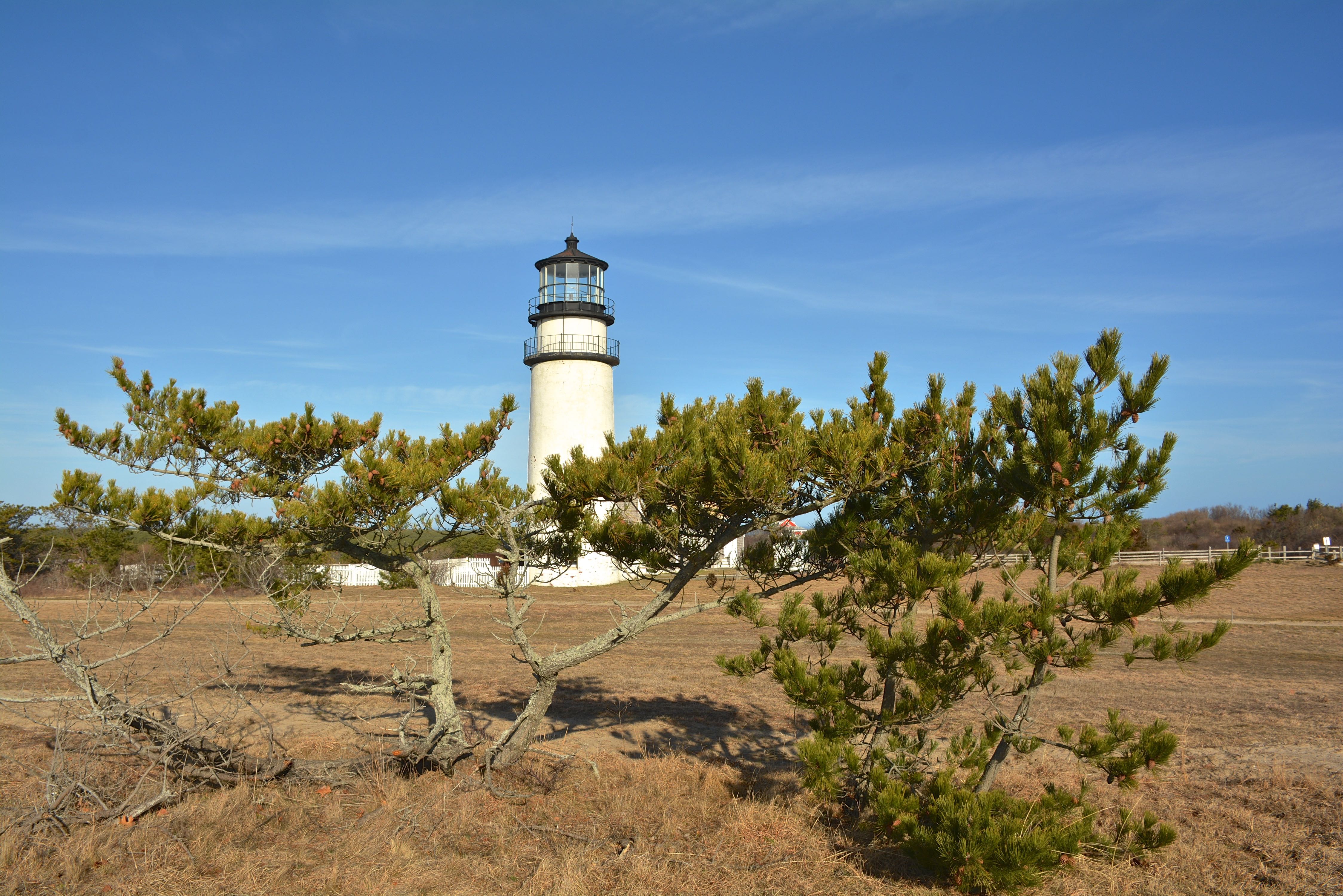
The Highland Light (previously known as Cape Cod Light) is an active lighthouse on the Cape Cod National Seashore in North Truro, Massachusetts. Originally commissioned by the first president of the United States George Washington in 1797, The current tower was erected in 1857. It is the oldest and tallest lighthouse on Cape Cod. Image credit: Karatzas Images.
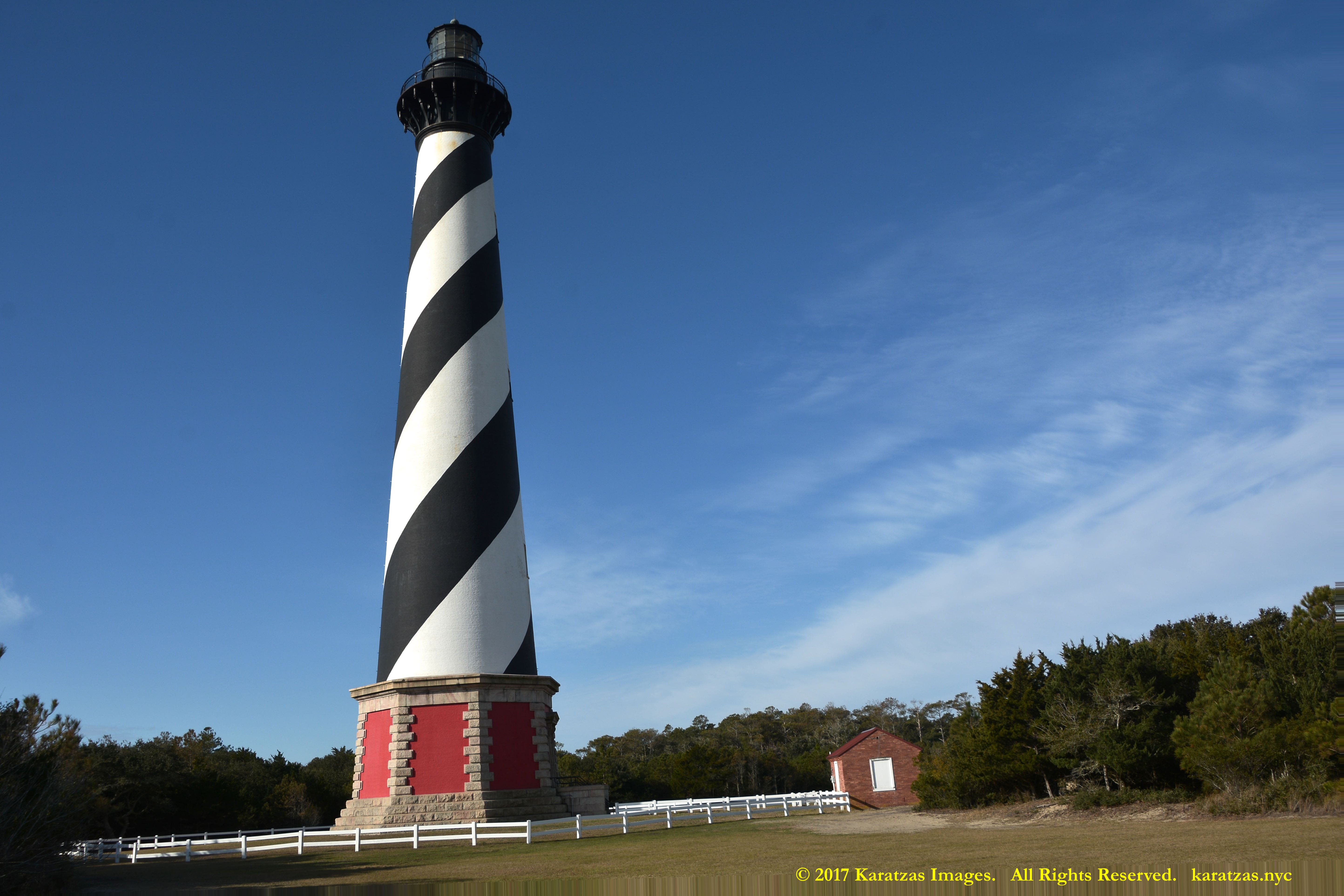
The Cape Hatteras Light is located on Hatteras Island in the Outer Banks in the town of Buxton, North Carolina and is part of the Cape Hatteras National Seashore. Standing 210 high (64 m), the lighthouse is beloved for its distinctive coloring and its relocation 0.5km inland in 1999 due to beach erosion. Image credit: Karatzas Images.
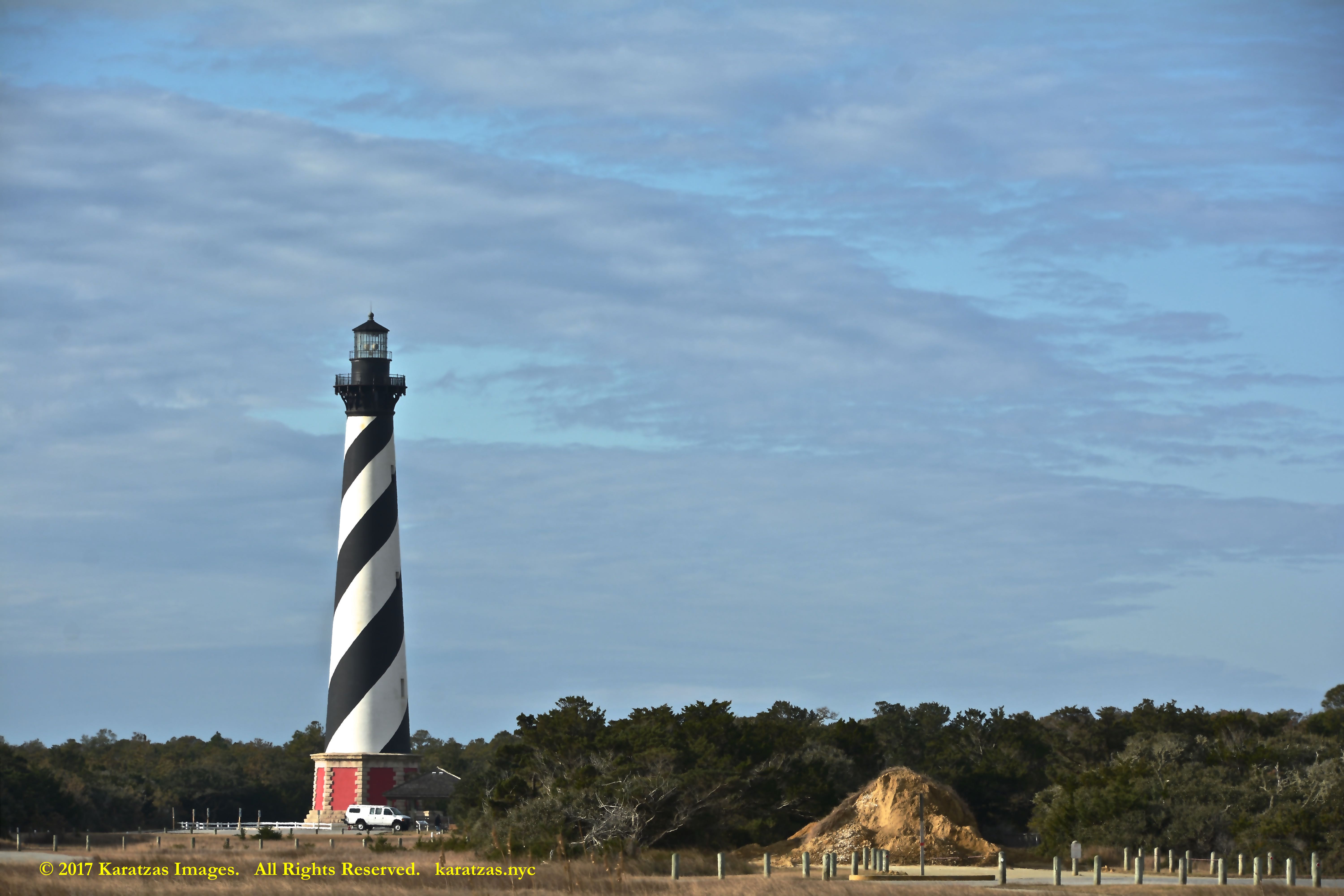
The Cape Hatteras Light is located on Hatteras Island in the Outer Banks in the town of Buxton, North Carolina and is part of the Cape Hatteras National Seashore. Standing 210 high (64 m), the lighthouse is beloved for its distinctive coloring and its relocation 0.5km inland in 1999 due to beach erosion. Image credit: Karatzas Images.
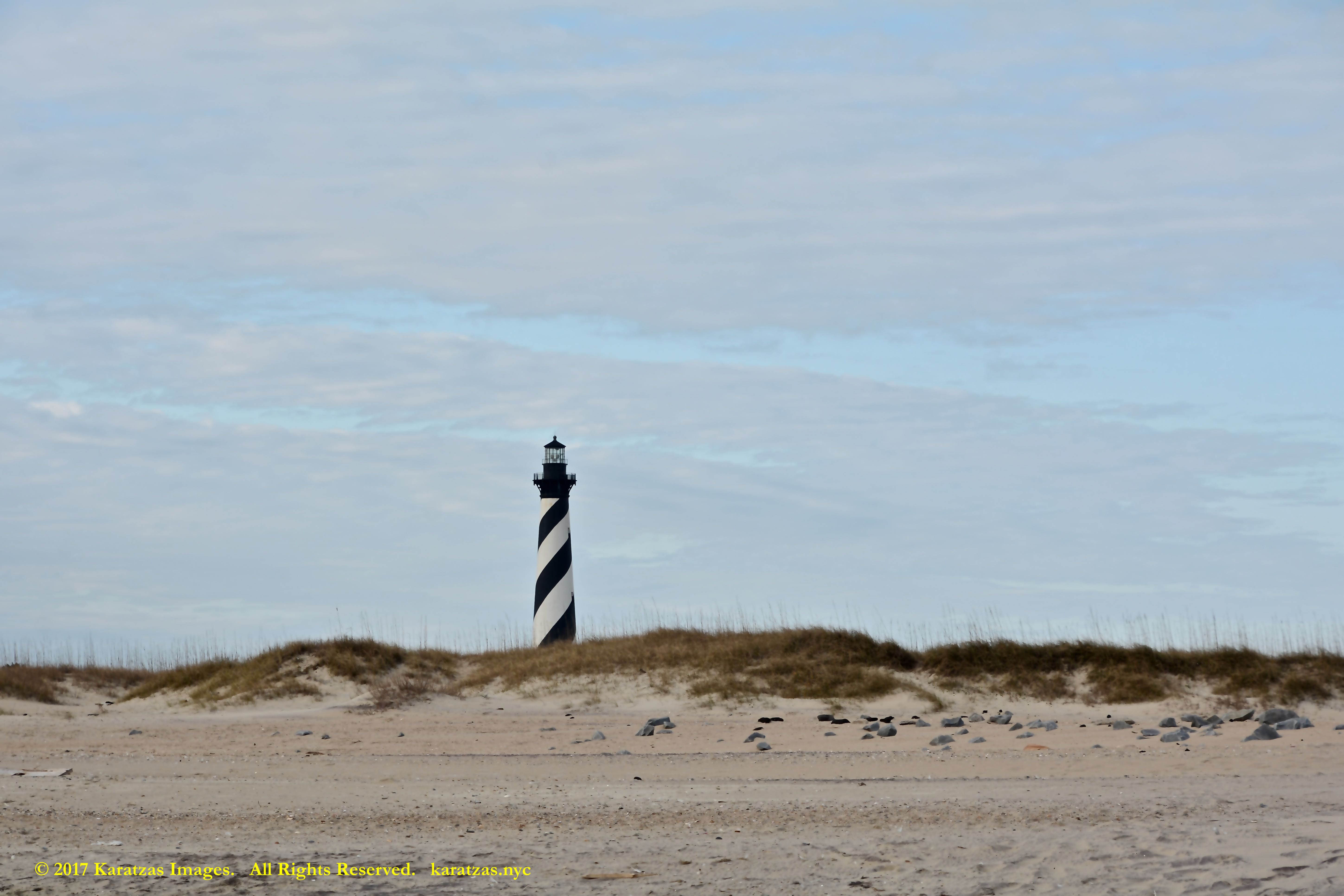
The Cape Hatteras Light is located on Hatteras Island in the Outer Banks in the town of Buxton, North Carolina and is part of the Cape Hatteras National Seashore. Standing 210 high (64 m), the lighthouse is beloved for its distinctive coloring and its relocation 0.5km inland in 1999 due to beach erosion. Image credit: Karatzas Images.
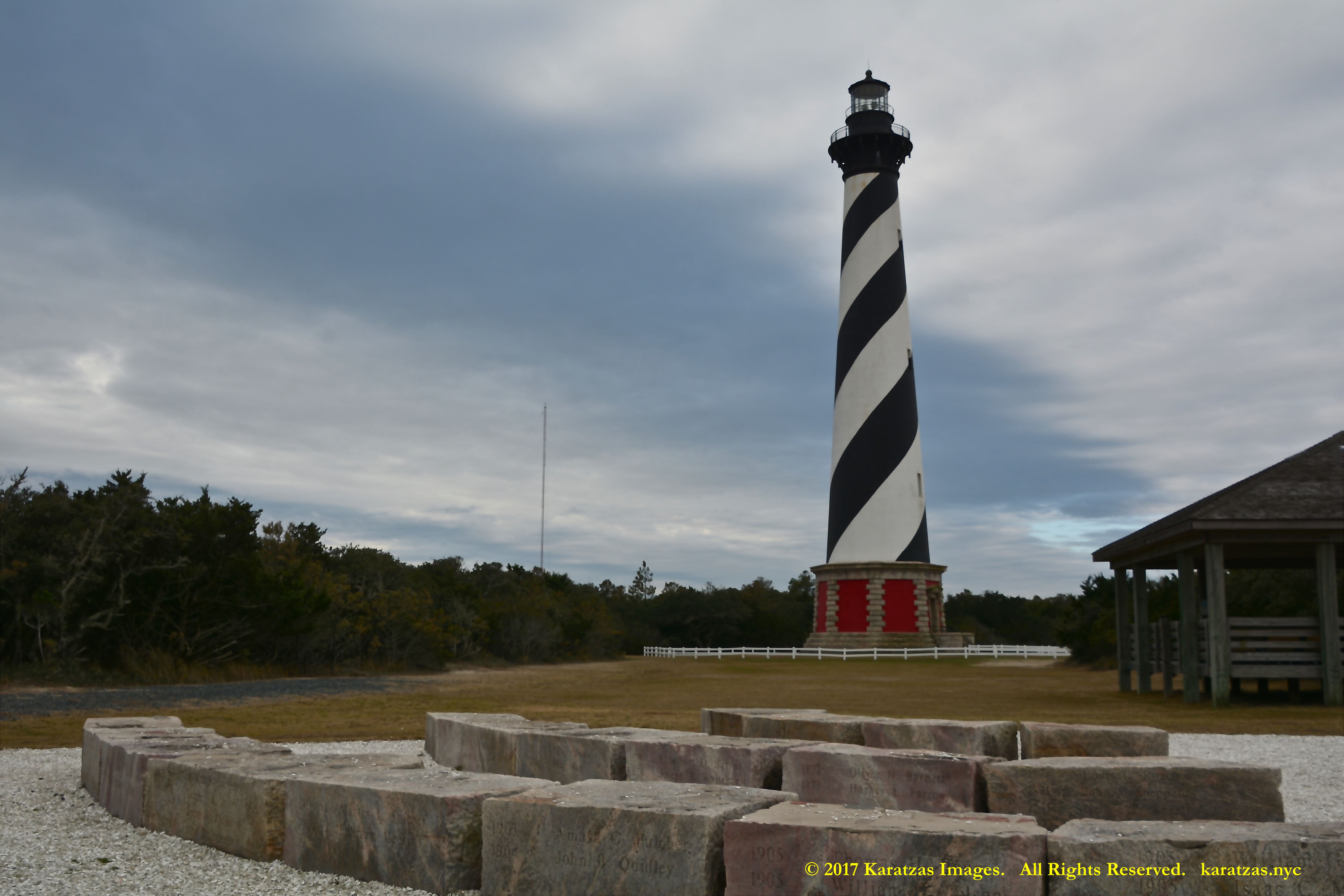
The Cape Hatteras Light is located on Hatteras Island in the Outer Banks in the town of Buxton, North Carolina and is part of the Cape Hatteras National Seashore. Standing 210 high (64 m), the lighthouse is beloved for its distinctive coloring and its relocation 0.5km inland in 1999 due to beach erosion. Image credit: Karatzas Images.
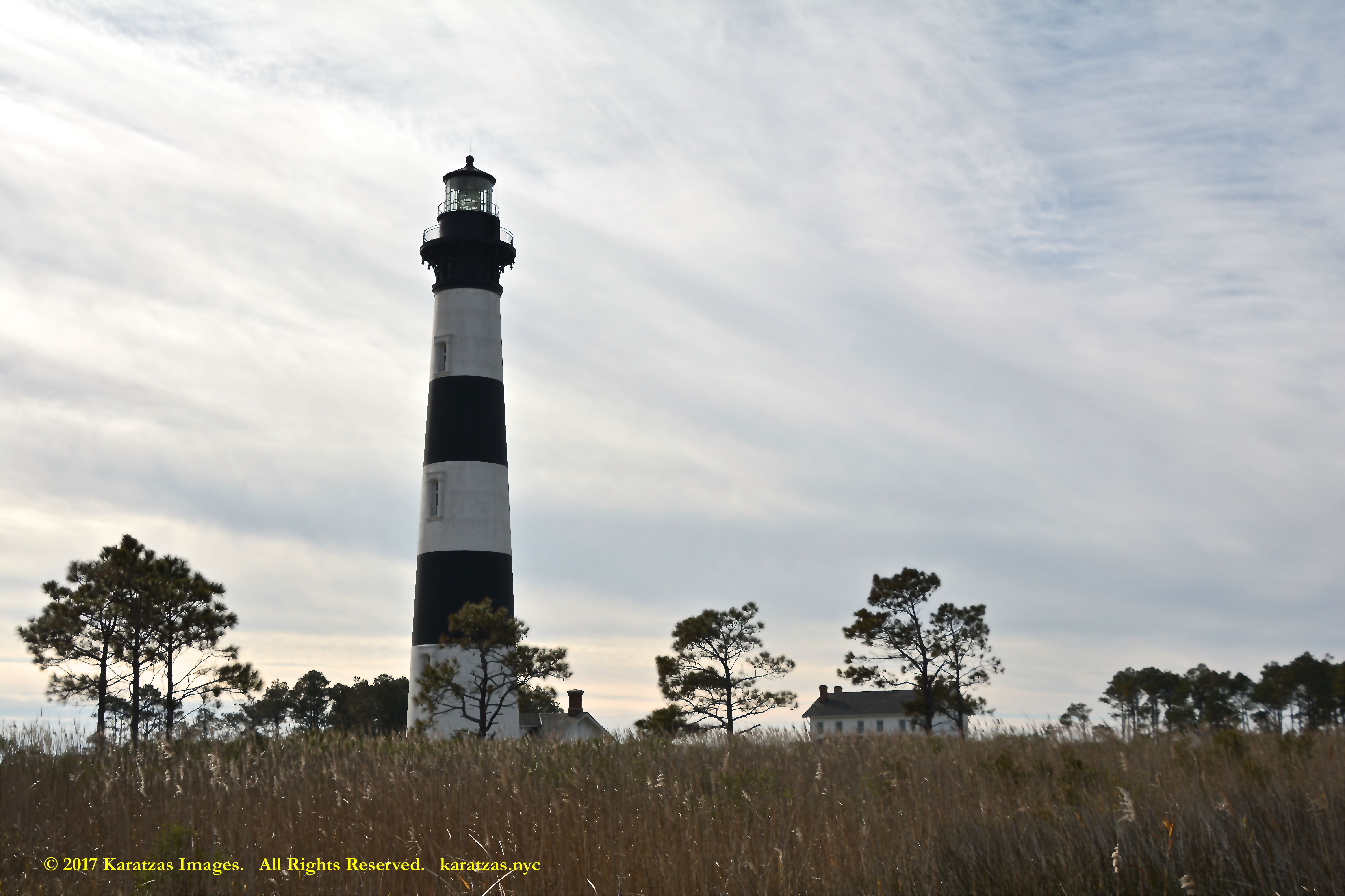
The Bodie Island Lighthouse is located in Bodie Island on the Outer Banks in North Carolina and was built in 1872. It stands 156 feet (48 m) tall and is located on the Roanoke Sound side of the first island that is part of the Cape Hatteras National Seashore. The lighthouse is just south of Nags Head, approximately one hour north of the Cape Hatteras Light; note black-and-white horizontal patterns to distinguish from the spiral Cape Hatteras Lighthouse coloring. Image credit: Karatzas Images.
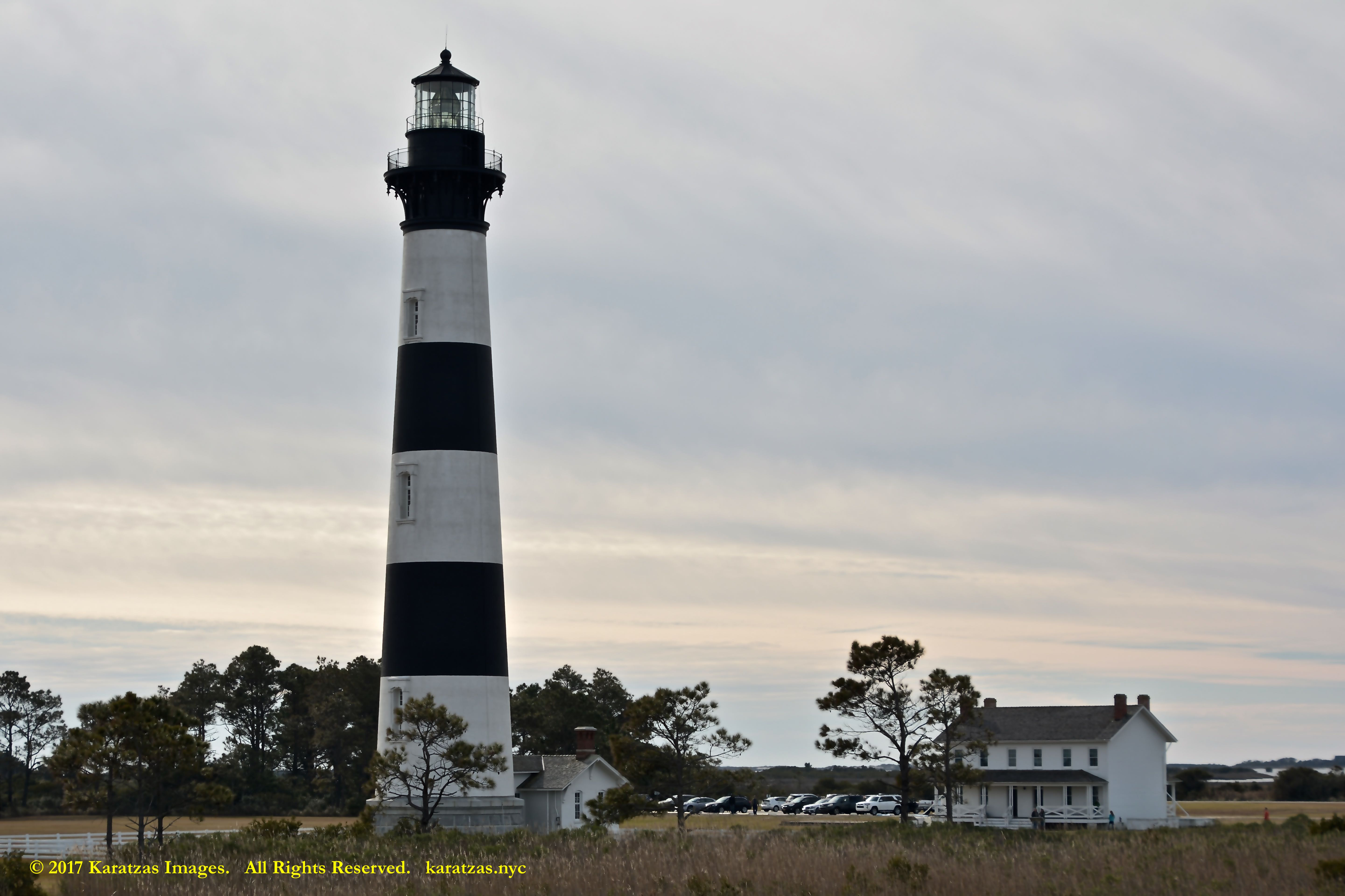
The Bodie Island Lighthouse is located in Bodie Island on the Outer Banks in North Carolina and was built in 1872. It stands 156 feet (48 m) tall and is located on the Roanoke Sound side of the first island that is part of the Cape Hatteras National Seashore. The lighthouse is just south of Nags Head, approximately one hour north of the Cape Hatteras Light; note black-and-white horizontal patterns to distinguish from the spiral Cape Hatteras Lighthouse coloring. Image credit: Karatzas Images.
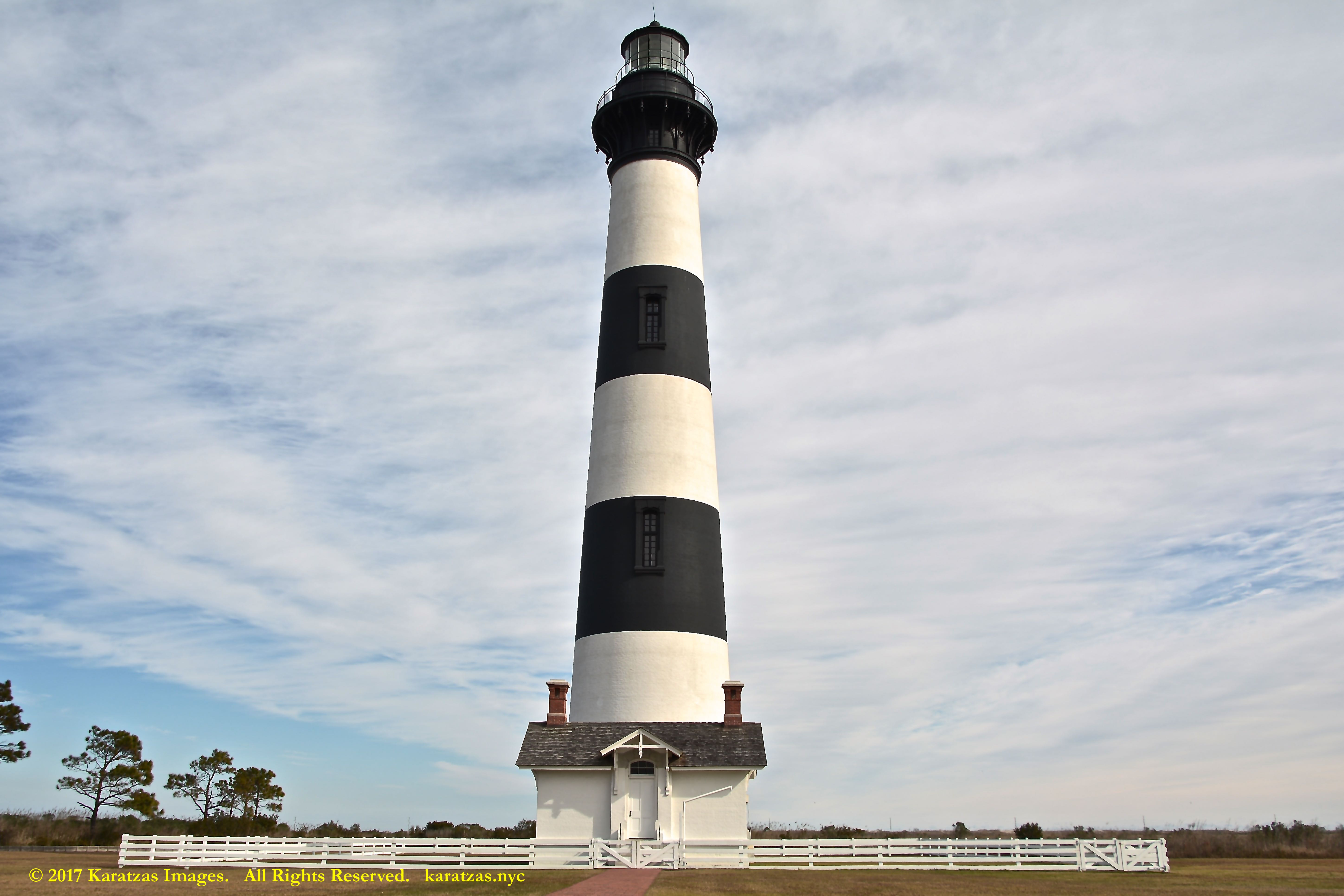
The Bodie Island Lighthouse is located in Bodie Island on the Outer Banks in North Carolina and was built in 1872. It stands 156 feet (48 m) tall and is located on the Roanoke Sound side of the first island that is part of the Cape Hatteras National Seashore. The lighthouse is just south of Nags Head, approximately one hour north of the Cape Hatteras Light; note black-and-white horizontal patterns to distinguish from the spiral Cape Hatteras Lighthouse coloring. Image credit: Karatzas Images.
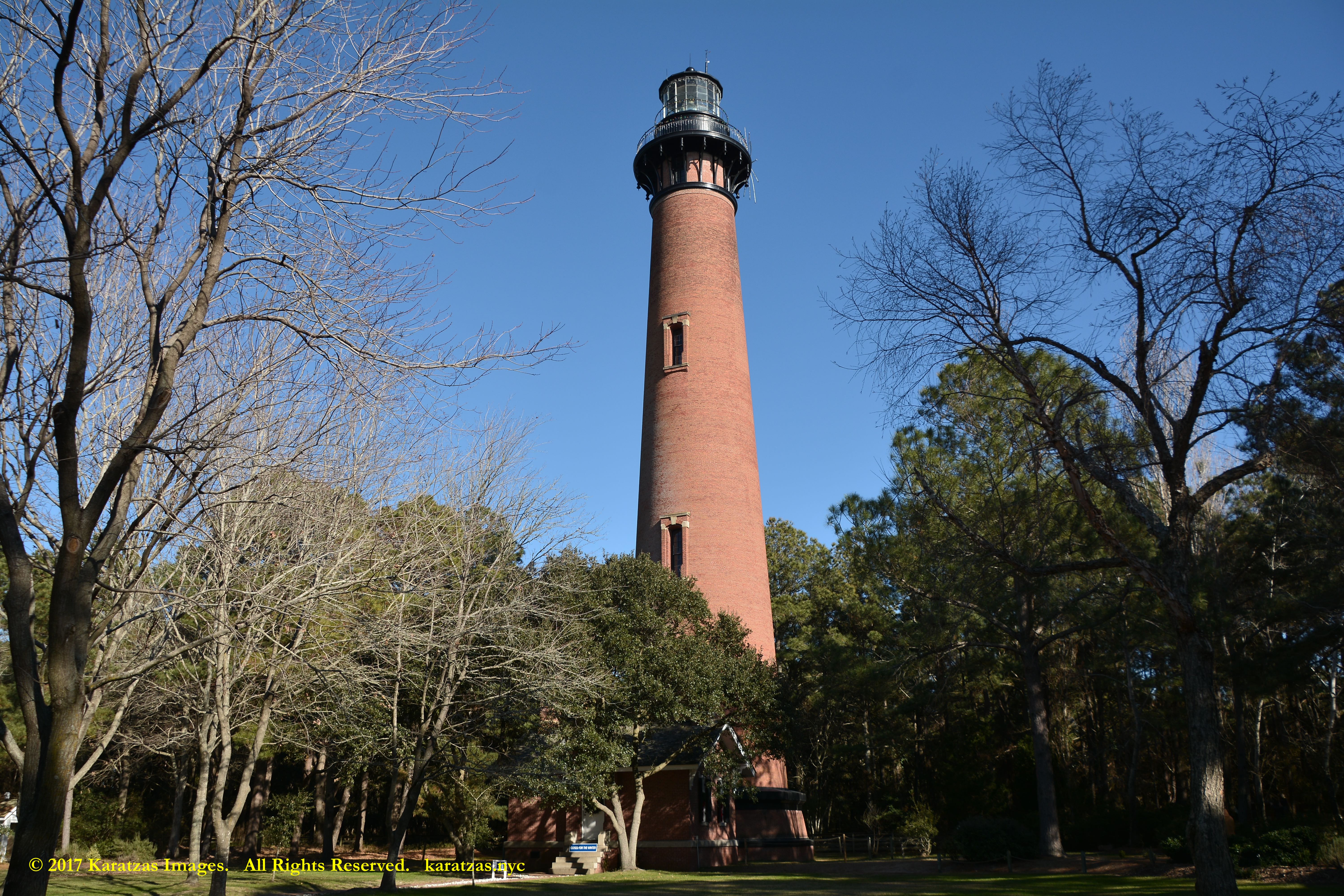
The Currituck Beach Light is located on the Outer Banks in Corolla, North Carolina. The lighthouse is constructed of brick and is not painted in order to be distinguished from the Bodie Island and Cape Hatteras Lights that are in the vicinity. The Currituck Beach Light was added to the National Register of Historic Places on October 15, 1973. Image credit: Karatzas Images.

The Currituck Beach Light is located on the Outer Banks in Corolla, North Carolina. The lighthouse is constructed of brick and is not painted in order to be distinguished from the Bodie Island and Cape Hatteras Lights that are in the vicinity. The Currituck Beach Light was added to the National Register of Historic Places on October 15, 1973. Image credit: Karatzas Images.
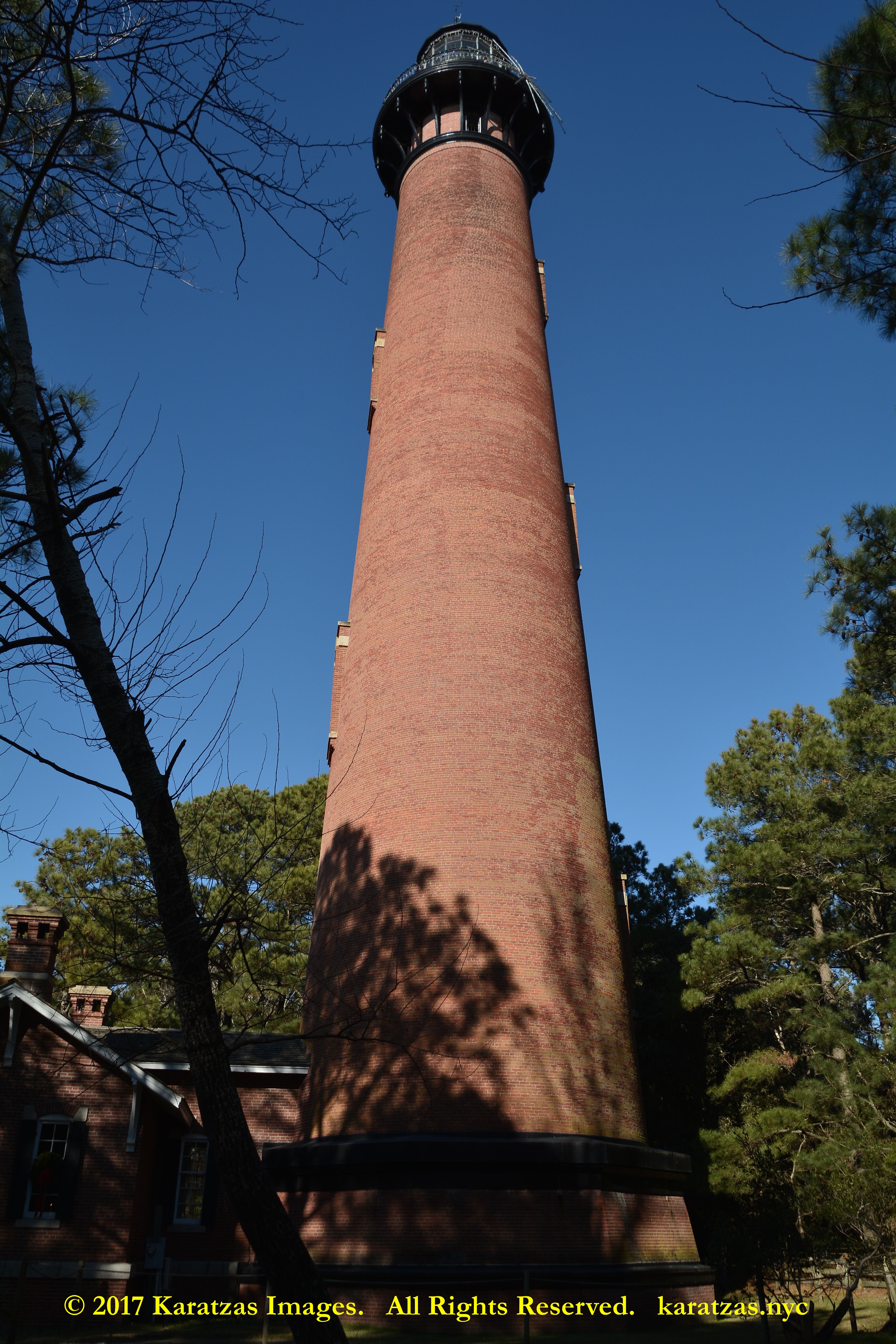
The Currituck Beach Light is located on the Outer Banks in Corolla, North Carolina. The lighthouse is constructed of brick and is not painted in order to be distinguished from the Bodie Island and Cape Hatteras Lights that are in the vicinity. The Currituck Beach Light was added to the National Register of Historic Places on October 15, 1973. Image credit: Karatzas Images.
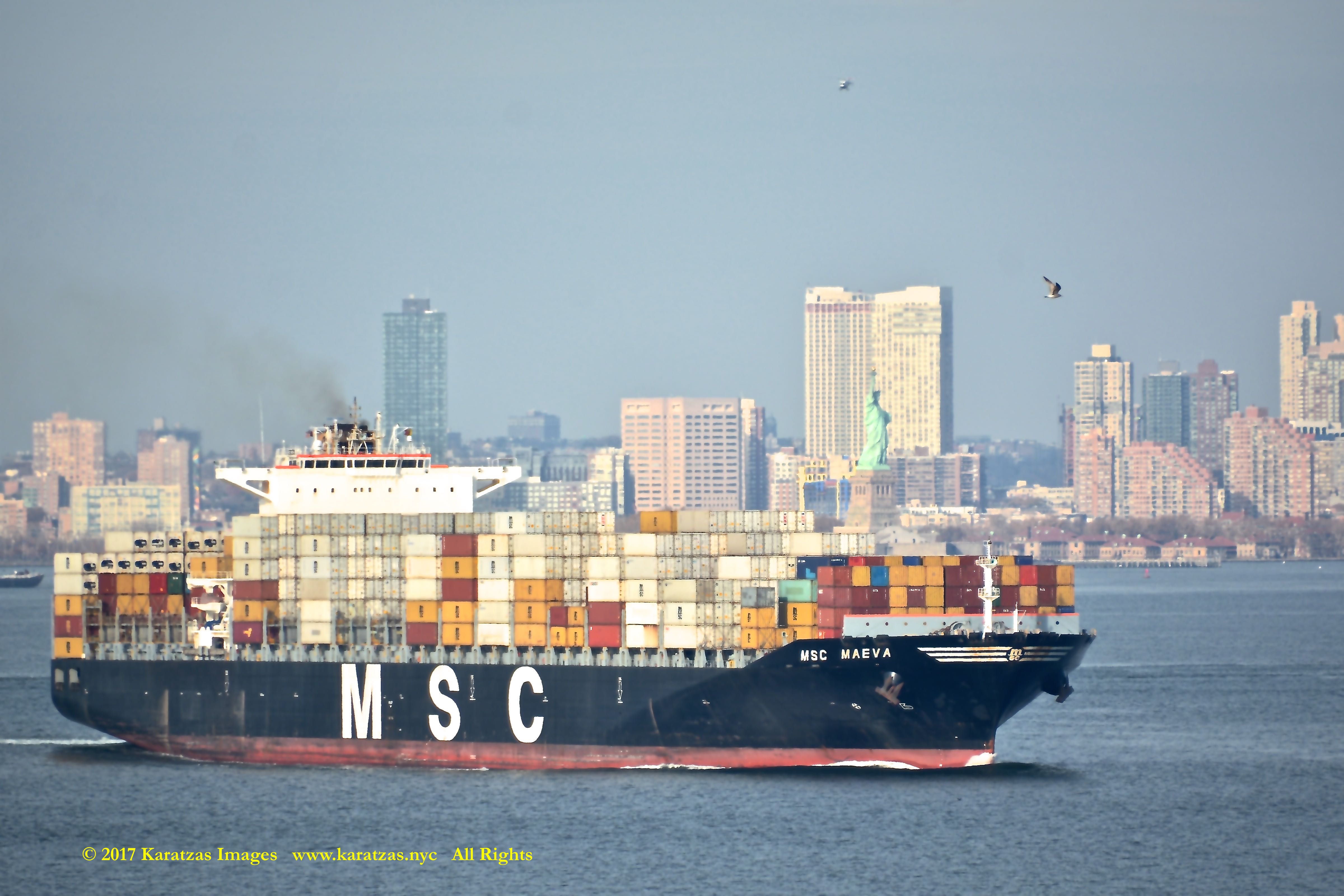
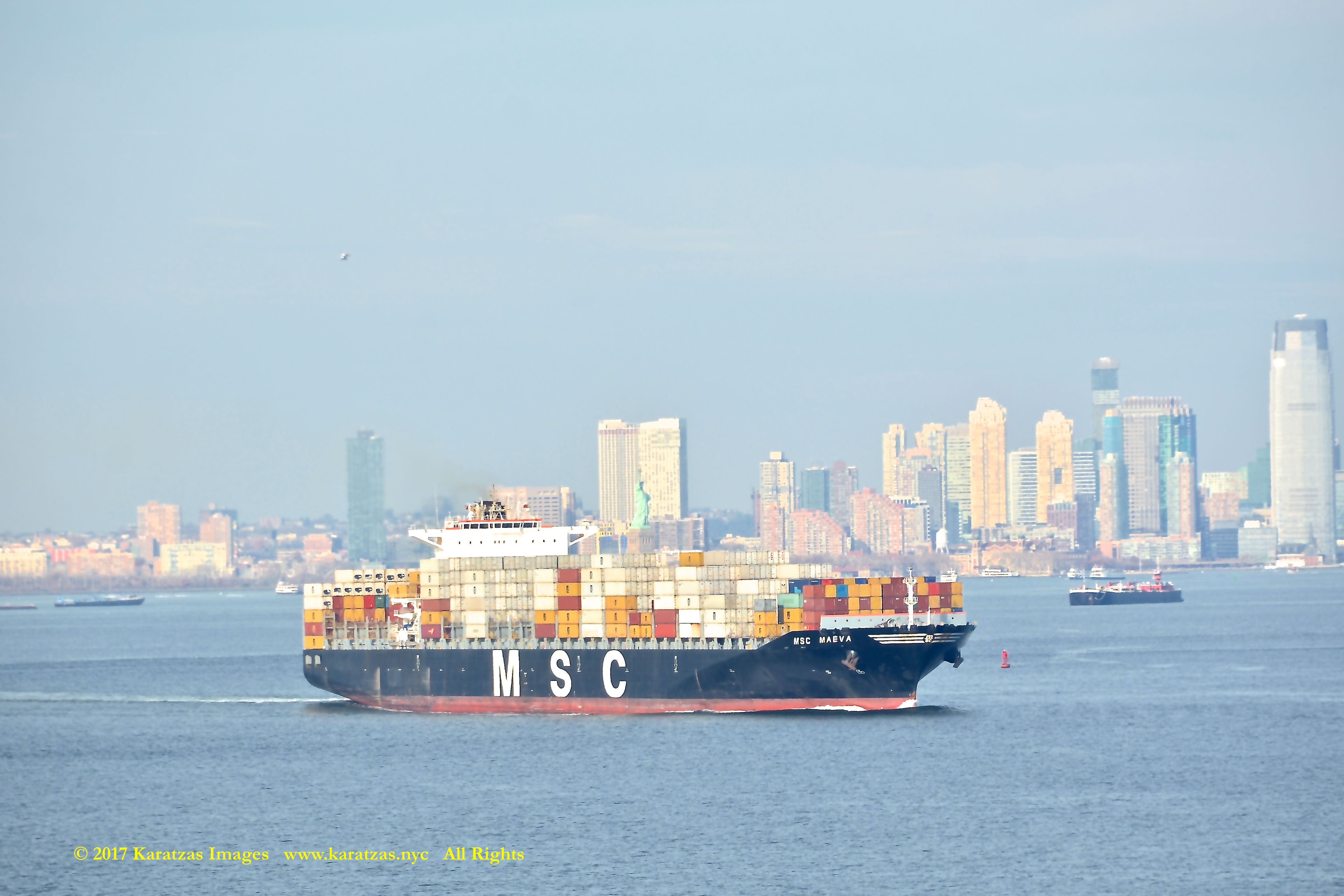
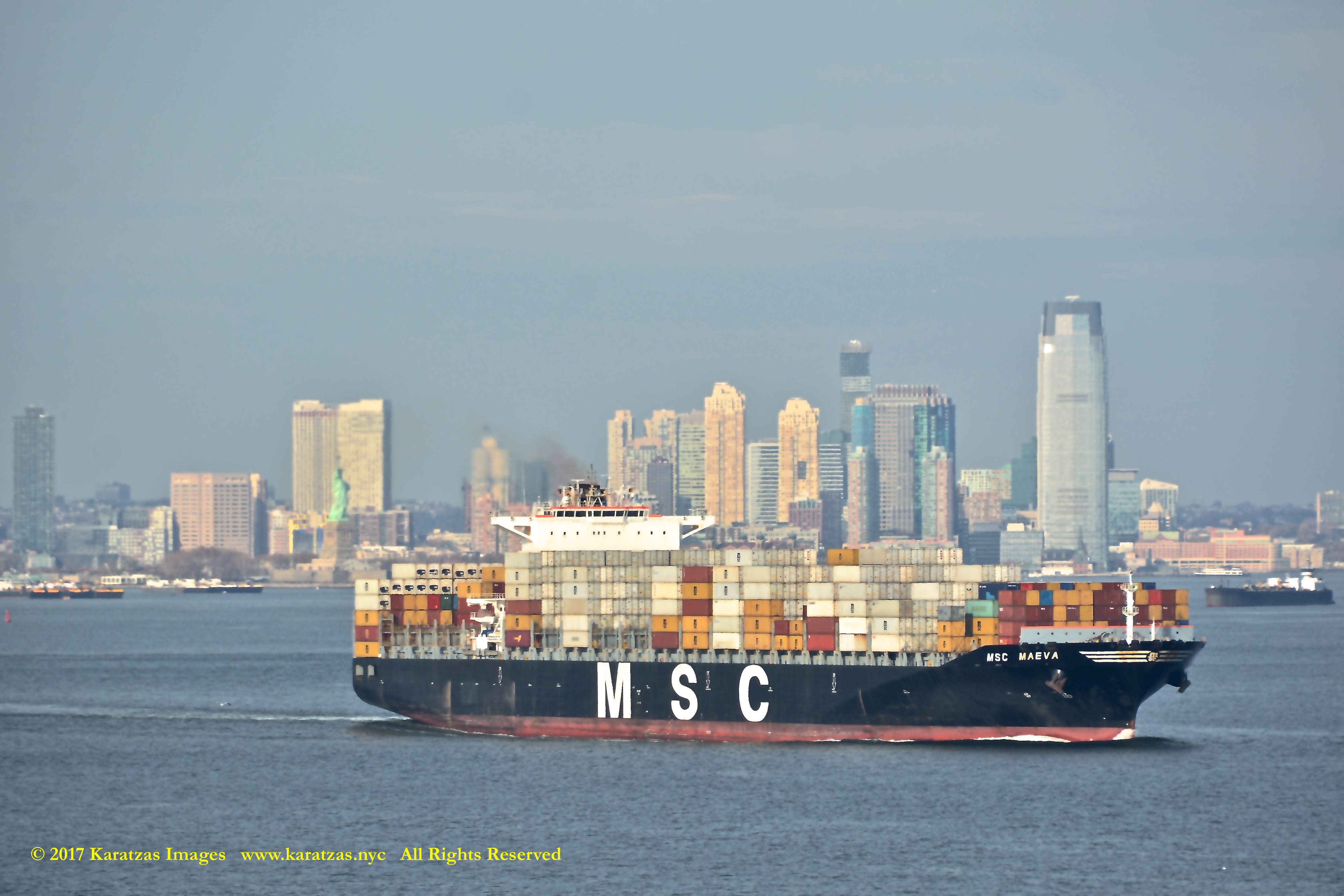
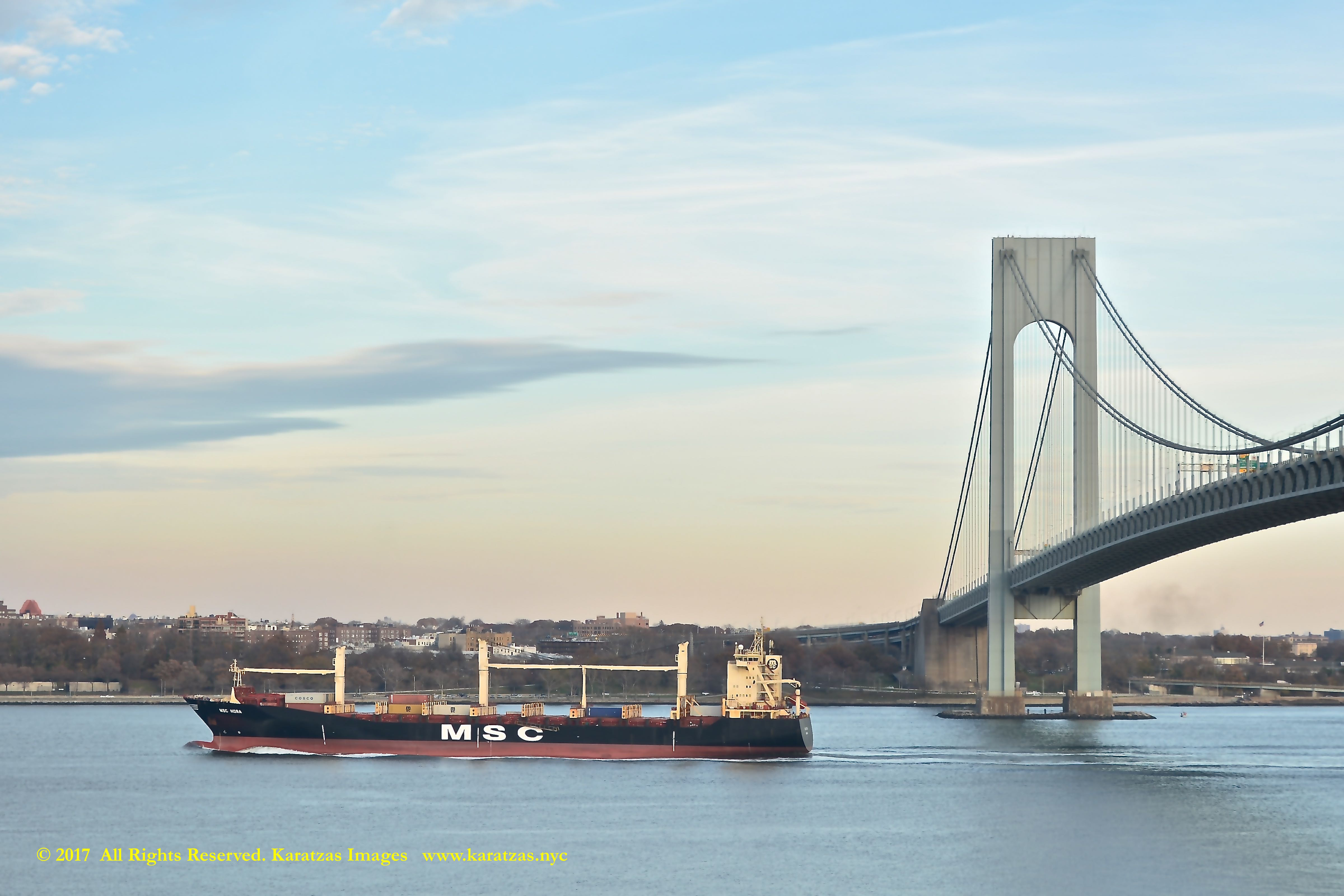
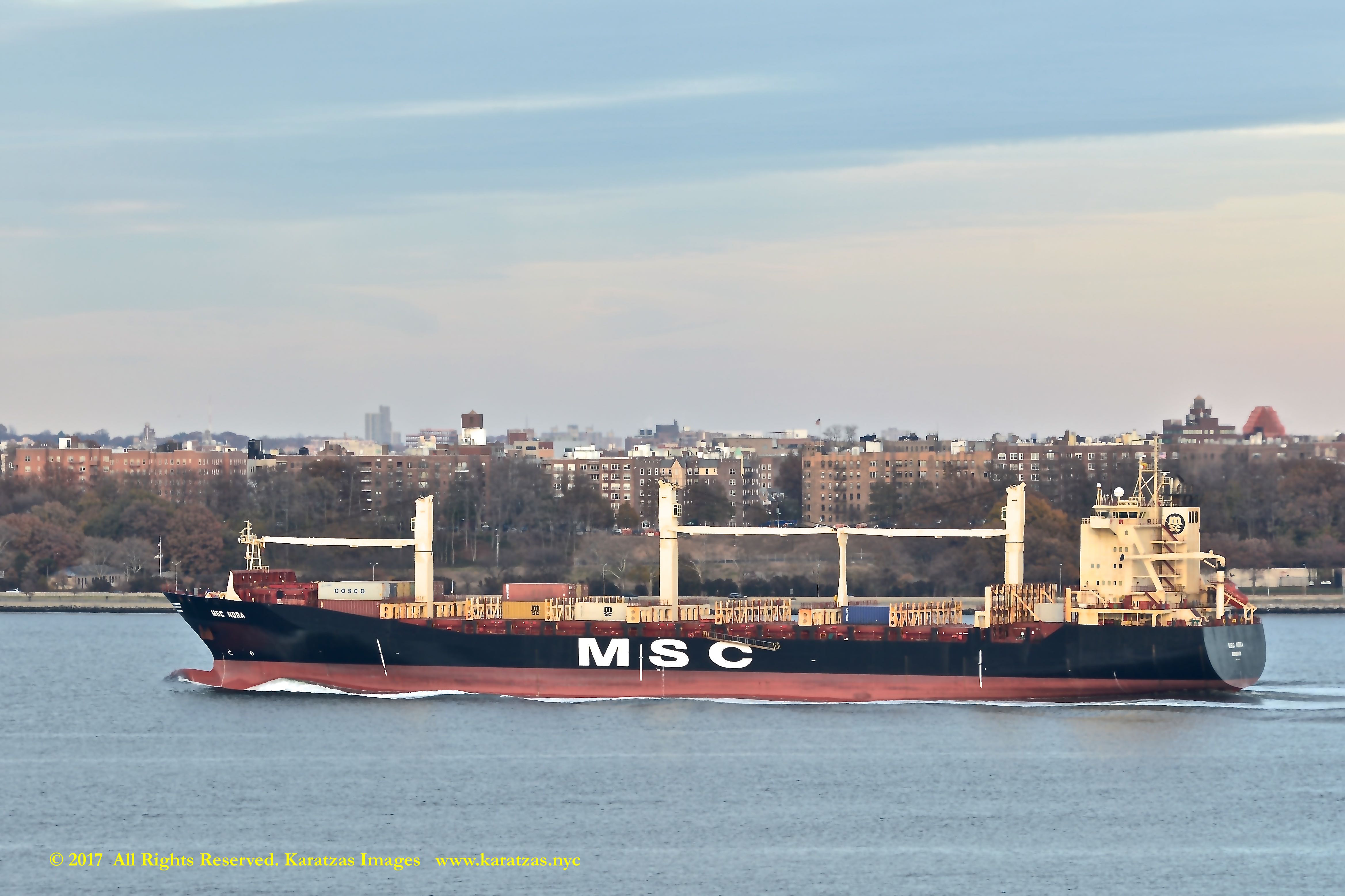
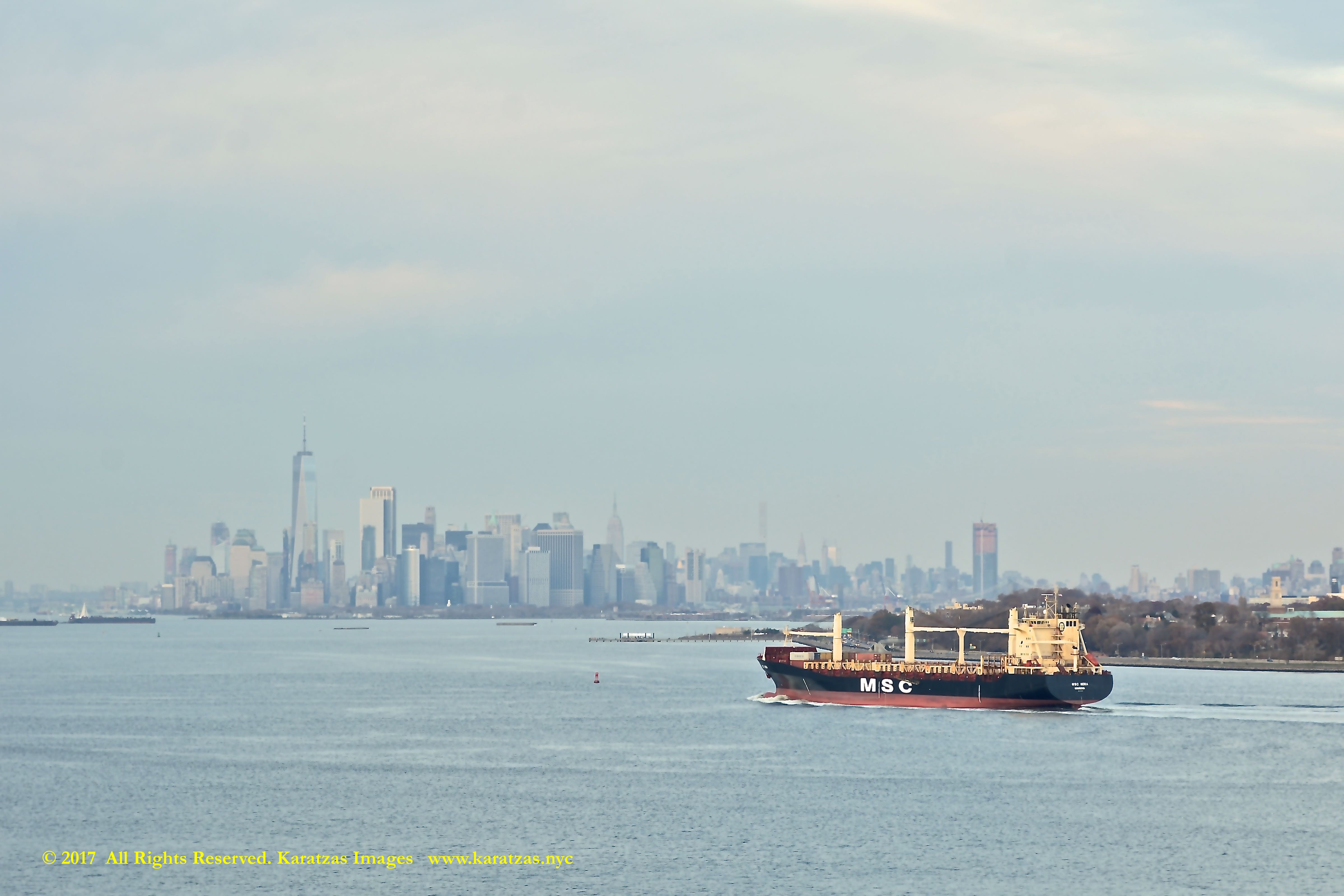
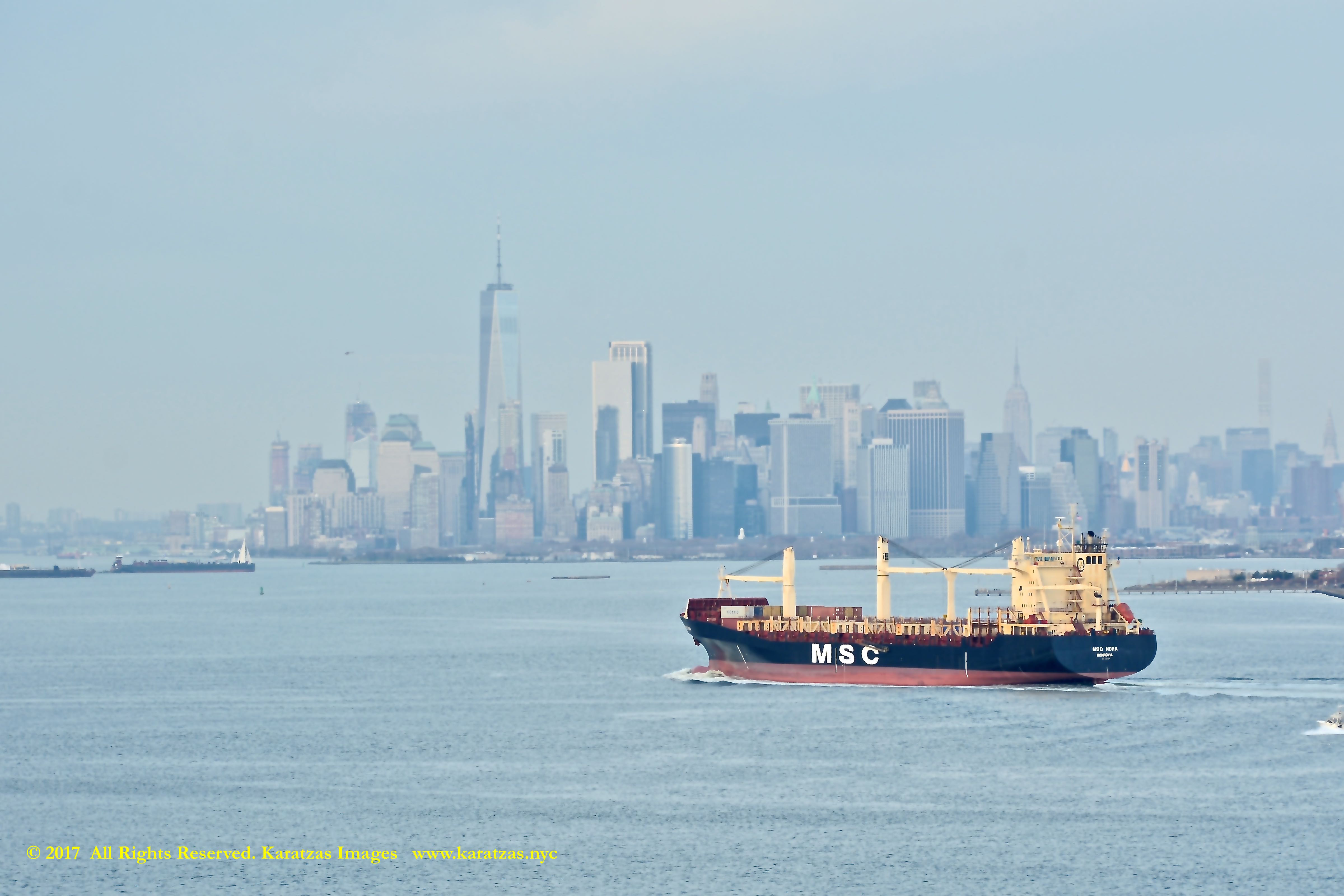
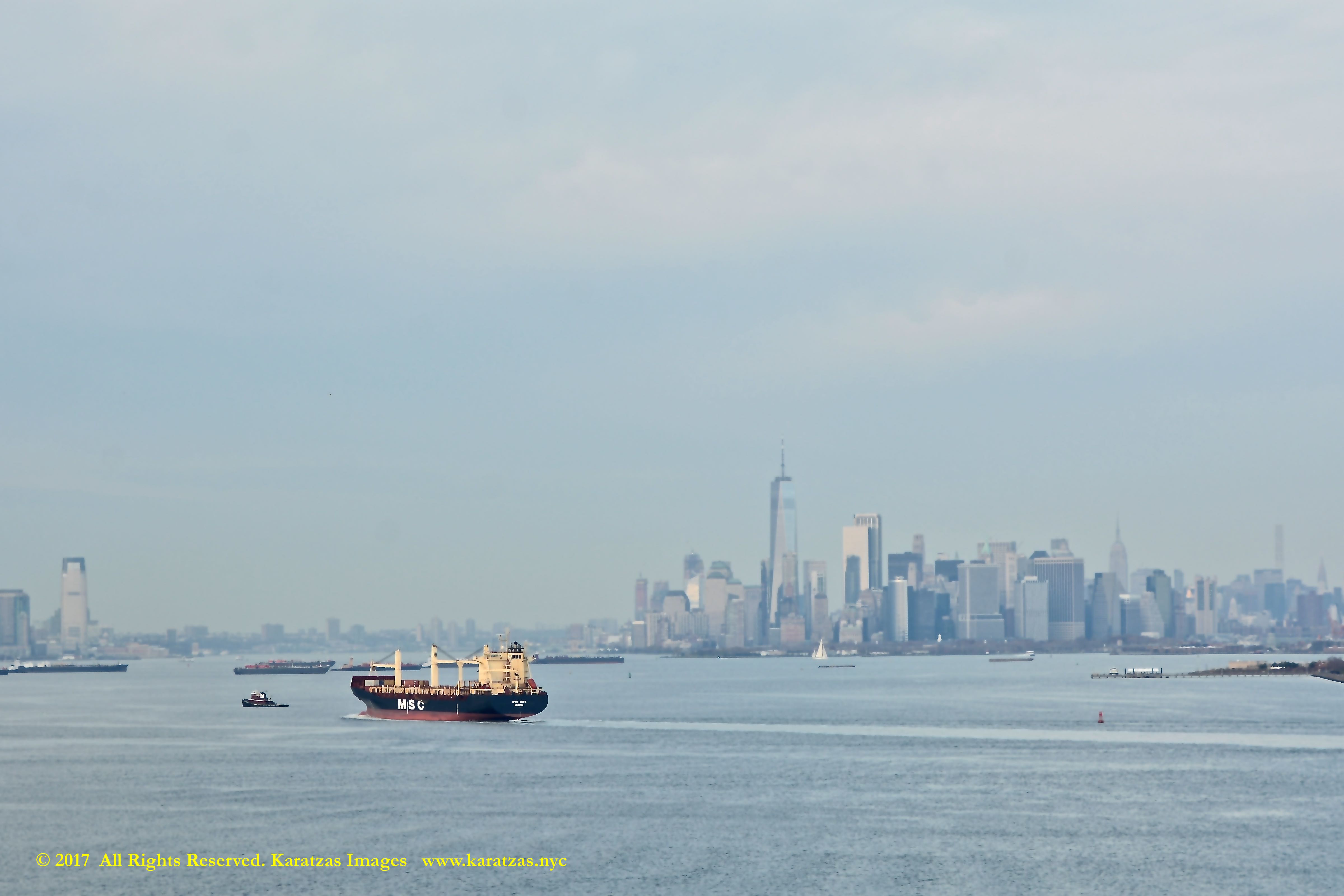
IMPORTANT DISCLAIMERS: Vessel description is provided in good faith and is believed to be correct and accurate but no assurances, warranties or representations are made herewith. Vessel description is provided for entertainment purposes only. We have no responsibility whatsoever for any errors / omissions in vessel description.
Access to this blog signifies the reader’s irrevocable acceptance of this disclaimer. No part of this blog can be reproduced by any means and under any circumstances, whatsoever, in whole or in part, without proper attribution or the consent of the copyright and trademark holders of this website. Whilst every effort has been made to ensure that information herewithin has been received from sources believed to be reliable and such information is believed to be accurate at the time of publishing, no warranties or assurances whatsoever are made in reference to accuracy or completeness of said information, and no liability whatsoever will be accepted for taking or failing to take any action upon any information contained in any part of this website. Thank you for the consideration.